Thompson Plateau, Elevated plateau in British Columbia, Canada.
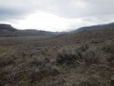
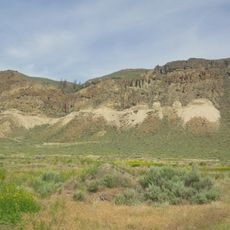
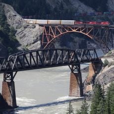
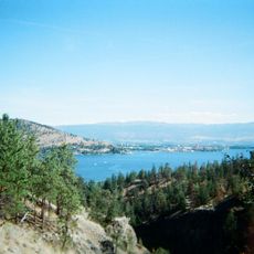
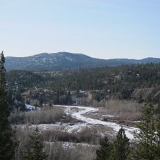
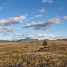
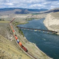
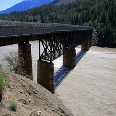
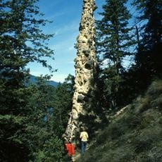
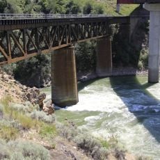
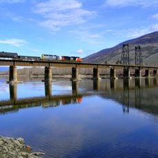
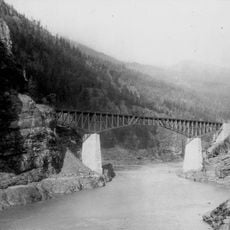
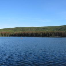
The Thompson Plateau is a highland region in British Columbia, located between Okanagan Lake and the Fraser River. The terrain shifts between rolling hills, deep river valleys, and peaks that rise above 2,000 meters.
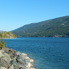
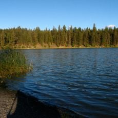
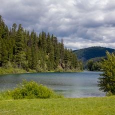
Glaciers shaped this plateau during the last ice age, cutting deep valleys and leaving behind a series of lakes. As the ice melted, the terrain slowly settled into the form it holds today over many thousands of years.
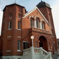
The Nlaka'pamux and Syilx peoples gave many places here names drawn from their own languages, and those names are still used today. This connection is most visible along the waterways and forests, where local communities continue to maintain ties to the land.
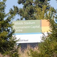
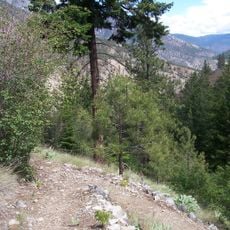
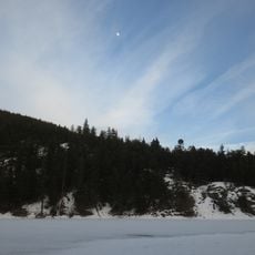
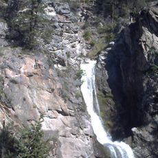
The area offers different activities depending on the season, from hiking and climbing in summer to skiing in winter. There are several parks and recreation areas spread across the plateau, so it helps to decide in advance which part you want to explore.
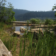
Within this highland sits a semi-arid pocket where cacti and sagebrush grow, something most visitors do not expect to find this far north. This dry zone sits right next to denser forest and higher ridges, making the contrast easy to notice.
The community of curious travelers
AroundUs brings together thousands of curated places, local tips, and hidden gems, enriched daily by 60,000 contributors worldwide.