Chest opened
+${chestReward.xp} XP
Explorer
NOUVEAU ×${chestReward.collectible.quantity}
tapez pour fermer
Chest locked

Open chests in the app

Around Us is built for your phone — chests unlock when you walk, explore and capture nearby places.

Enable Location

We need your location to show you interesting places around you

Discover nearby places

Find interesting locations and hidden gems around you

Precise directions

Get accurate directions and distances to places

Your location is never shared with other users. It's only used when you tap the location button.

Log in to your account

Start exploring — it's free

Trusted by 73,054 travelers worldwide

Continue with Google
Continue with Apple
or

We will send you a code to connect

By continuing, you accept our Terms and Conditions and our Privacy Policy

Check your inbox

We've sent a pincode in your inbox. Please enter the code below.

California's 24th congressional district
Discussion Reviews Photo
30.8k Popularity

California's 24th congressional district, Congressional district in California, United States.

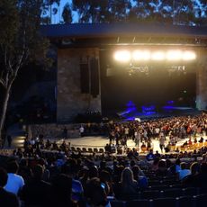
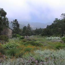
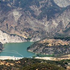
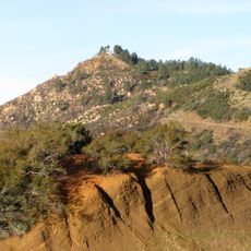
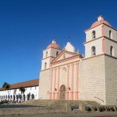
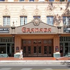
California's 24th congressional district stretches along the Pacific coast between Los Angeles and San Francisco, encompassing Santa Barbara County and parts of San Luis Obispo and Ventura counties. The territory combines coastal communities, agricultural lands, and protected marine sanctuaries.

The district was established in 1953 and underwent major boundary changes in 2011. This restructuring shifted focus from inland regions toward more coastal areas of California.

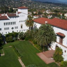
The area is home to several universities and research institutions that shape the intellectual character of its communities. These establishments attract students and professionals, influencing local culture and economy noticeably.

Residents can seek assistance with federal matters by contacting their representative through offices located in Santa Barbara, Ventura, and San Luis Obispo. The delegation provides support for various administrative concerns and connections to federal programs.

The territory includes six of the Channel Islands, making it an unusual mix of mainland communities and remote island areas within a single district. This geographic feature makes it one of the state's most distinctive congressional divisions.

The community of curious travelers

AroundUs brings together thousands of curated places, local tips, and hidden gems, enriched daily by 60,000 contributors worldwide.

Start exploring
Location
GPS coordinates
34.60000,-119.70000
Latest update
December 20, 2025 01:57
Around this place
Mission Santa Barbara
United States of America

Mission Santa Barbara

18 km
El Fureidis
United States of America

El Fureidis

18.5 km
Knapp's Castle
United States of America

Knapp's Castle

12.1 km
Presidio of Santa Barbara
United States of America

Presidio of Santa Barbara

19.8 km
Lotusland
United States of America

Lotusland

17.9 km
Santa Barbara Bowl
United States of America

Santa Barbara Bowl

18.6 km
Santa Barbara County Courthouse
United States of America

Santa Barbara County Courthouse

19.6 km
Chumash Painted Cave State Historic Park
United States of America

Chumash Painted Cave State Historic Park

13.4 km
Cold Spring Canyon Arch Bridge
United States of America

Cold Spring Canyon Arch Bridge

14.9 km
Santa Barbara Museum of Natural History
United States of America

Santa Barbara Museum of Natural History

17.7 km
Karpeles Manuscript Library Museums
United States of America

Karpeles Manuscript Library Museums

19.8 km
Casa del Herrero
United States of America

Casa del Herrero

19.1 km
Santa Barbara Museum of Art
United States of America

Santa Barbara Museum of Art

19.7 km
Santa Barbara Botanic Garden
United States of America

Santa Barbara Botanic Garden

16.3 km
Gibraltar Dam
United States of America

Gibraltar Dam

8.2 km
Rafael Gonzalez House
United States of America

Rafael Gonzalez House

19.6 km
Our Lady of Sorrows Church
United States of America

Our Lady of Sorrows Church

19.3 km
La Cumbre Peak
United States of America

La Cumbre Peak

11.8 km
Big Caliente Hot Springs
United States of America

Big Caliente Hot Springs

14.1 km
Santa Barbara Mission-Archive Library
United States of America

Santa Barbara Mission-Archive Library

18.1 km
Thomas Hope House
United States of America

Thomas Hope House

19.5 km
Little Pine Mountain
United States of America

Little Pine Mountain

3.6 km
Trinity Episcopal Church
United States of America

Trinity Episcopal Church

19.3 km
Madulce Peak
United States of America

Madulce Peak

14.2 km
Rocky Nook Park
United States of America

Rocky Nook Park

17.5 km
Granada Theater
United States of America

Granada Theater

19.6 km
Santa Barbara Public Library
United States of America

Santa Barbara Public Library

19.6 km
A.C. Postel Memorial Rose Garden
United States of America

A.C. Postel Memorial Rose Garden

18.1 km
Show the full map
Reviews
Share your experience

No review yet

Discussions
Start a discussion...

No discussion yet

« California's 24th congressional district - Congressional district in California, United States » is provided by Around Us (aroundus.com). Images and texts are derived from Wikimedia project under a Creative Commons license. You are allowed to copy, distribute, and modify copies of this page, under the conditions set by the license, as long as this note is clearly visible.

Discover hidden gems everywhere you go!

From secret cafés to breathtaking viewpoints, skip the crowded tourist spots and find places that match your style. Our app makes it easy with voice search, smart filtering, route optimization, and insider tips from travelers worldwide. Download now for the complete mobile experience.

Around Us App Screenshot

A unique approach to discovering new places

Le Figaro

All the places worth exploring

France Info

A tailor-made excursion in just a few clicks

20 Minutes

Around Us
Travel Guide & Maps
Download

Send to your phone

QR Code
1

Open the camera app on your mobile.

2

Point at the QR code with your camera. A notification will appear.

3

Tap the notification to open the link.