Mariposa, Census-designated place in Sierra Nevada foothills, California, United States
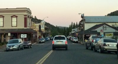
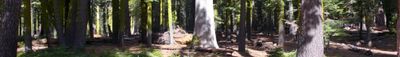
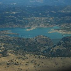
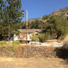
Mariposa is a settlement in the foothills of the Sierra Nevada in California and also serves as the administrative center of Mariposa County. The town sits at about 594 meters (1,949 feet) above sea level among oak woodlands and pines and stretches along the main road through gently rolling terrain.
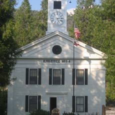
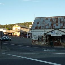
The settlement emerged during the California Gold Rush as a mining camp and was designated the county seat in 1851. The courthouse built in 1854 still fulfills its original purpose today and is considered the oldest continuously operating courthouse west of the Rocky Mountains.
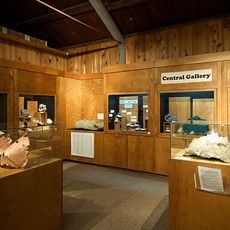
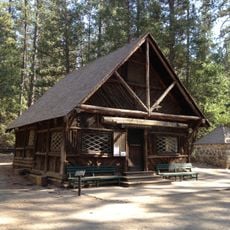
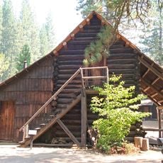
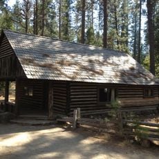
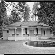
The museum displays tools and photographs from the Gold Rush era and keeps alive memories of the first settlers in the region. Visitors can follow how miners lived and worked back then and what role gold played for this town.
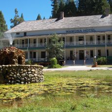
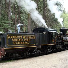
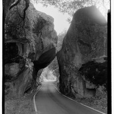
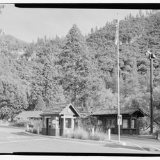
Route 140 runs through the town and connects it with Yosemite National Park further east. Accommodations and restaurants sit along the main road and are easy to reach on foot or by car.
The courthouse has never stopped working since its completion and kept its wooden interior from the mid nineteenth century. Visitors can see the simple courtroom and imagine how cases from the mining era were heard here.
Location: Mariposa County
Elevation above the sea: 594 m
GPS coordinates: 37.48722,-119.96833
Latest update: December 13, 2025 19:52
Wawona Hotel
28.2 km
Yosemite Mountain Sugar Pine Railroad
28.9 km
California State Mining and Mineral Museum
3.1 km
Chilnualna Falls
32.1 km
Ferguson landslide
19.8 km
New Exchequer Dam
28.7 km
Hetch Hetchy Railroad 6
26.3 km
Wawona Covered Bridge
28.2 km
Henness Ridge Fire Lookout
27.5 km
Acting Superintendent's Headquarters
28.2 km
McCauley and Meyer Barns
30.7 km
Merced Grove Ranger Station
31.3 km
Bagby Stationhouse, Water Tanks and Turntable
26.3 km
Yosemite Transportation Company Office
28.2 km
Yosemite History Center
28.2 km
Hodgdon Homestead Cabin
28.2 km
Mariposa County Courthouse
301 m
Chris Jorgensen Studio
28.2 km
Hornitos Masonic Hall No. 98
23.8 km
Bower Cave
29.6 km
Wawona Visitor Center
28.2 km
Yosemite Valley Railroad Caboose No. 15
26.3 km
El Portal Old Schoolhouse
26.3 km
The Wawona Hotel and Studio
28.2 km
Ranger Patrol Cabin
28.2 km
Coulterville Main Street Historic District
32.1 km
Arch Rock
30.7 km
Arch Rock Entrance Station
30.5 kmVisited this place? Tap the stars to rate it and share your experience / photos with the community! Try now! You can cancel it anytime.
Discover hidden gems everywhere you go!
From secret cafés to breathtaking viewpoints, skip the crowded tourist spots and find places that match your style. Our app makes it easy with voice search, smart filtering, route optimization, and insider tips from travelers worldwide. Download now for the complete mobile experience.
A unique approach to discovering new places❞
— Le Figaro
All the places worth exploring❞
— France Info
A tailor-made excursion in just a few clicks❞
— 20 Minutes