
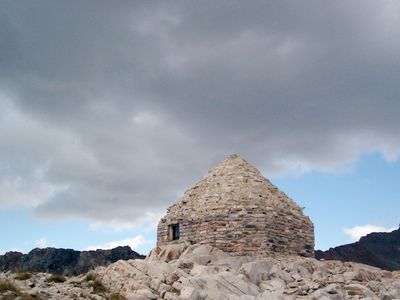
John Muir Memorial Shelter
John Muir Memorial Shelter
Location: Fresno County
Inception: 1930
Architects: Henry Higby Gutterson
Made from material: granite
GPS coordinates: 37.11200,-118.67095
Latest update: March 27, 2025 19:31
North Palisade
14 km
John Muir Wilderness
16.8 km
Palisade Glacier
14.3 km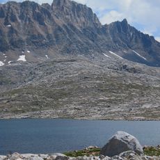
Mount Humphreys
17.7 km
Mount Tom
25.2 km
Mount Darwin
6.1 km
Temple Crag
16 km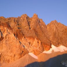
Split Mountain
24.3 km
Mount Sill
15 km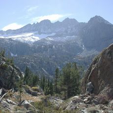
Middle Palisade
18.5 km
Mount Agassiz
12.5 km
Thunderbolt Peak
13.7 km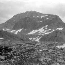
Mount Goddard
4.4 km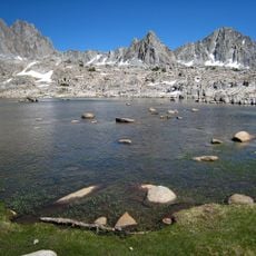
Parc national de Kings Canyon
21.9 km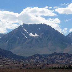
Basin Mountain
20.6 km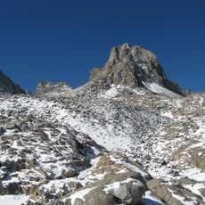
Mount Winchell
12.9 km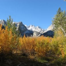
Norman Clyde Peak
17.9 km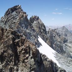
Palisade Crest
16.5 km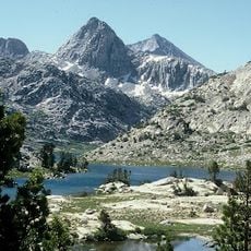
Mount Spencer
4.9 km
Birch Mountain
23 km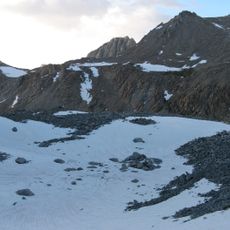
Mendel Glacier
7.5 km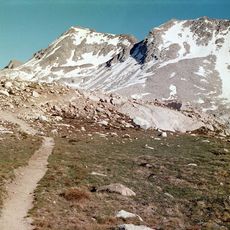
Mount Solomons
682 m
Mount Emerson
14.6 km
Mount Mendel
7.1 km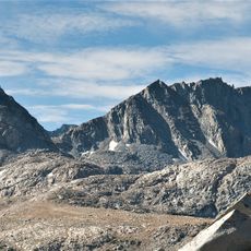
Mount Goethe
10.8 km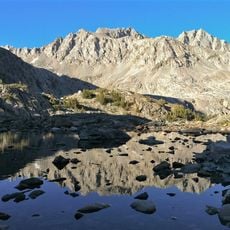
Mount Powell
4.4 km
Middle Palisade Glacier
18.9 km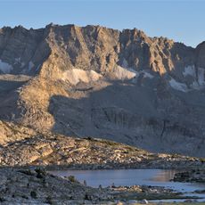
Matthes Glaciers
15.1 kmReviews
Visited this place? Tap the stars to rate it and share your experience / photos with the community! Try now! You can cancel it anytime.
Discover hidden gems everywhere you go!
From secret cafés to breathtaking viewpoints, skip the crowded tourist spots and find places that match your style. Our app makes it easy with voice search, smart filtering, route optimization, and insider tips from travelers worldwide. Download now for the complete mobile experience.

A unique approach to discovering new places❞
— Le Figaro
All the places worth exploring❞
— France Info
A tailor-made excursion in just a few clicks❞
— 20 Minutes