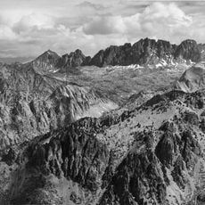
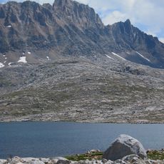
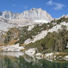
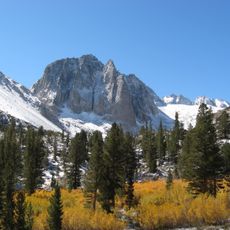
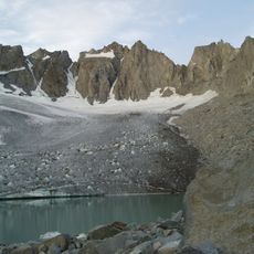
Palisade Glacier, Glacier in the John Muir Wilderness, Sierra Nevada, California, US
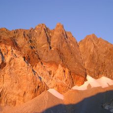
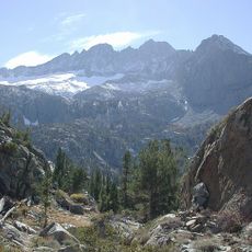
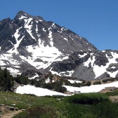
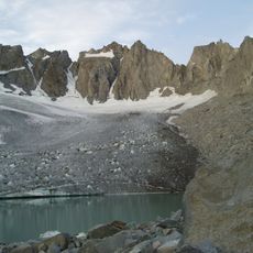
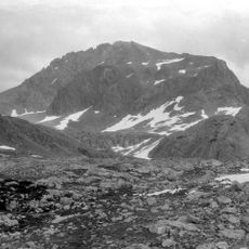
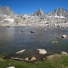
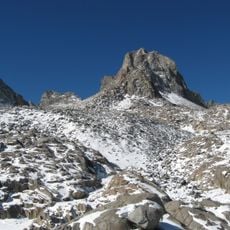
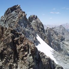
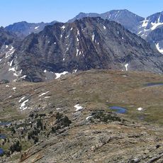
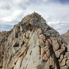
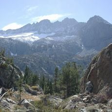
Palisade Glacier descends from the flanks of four peaks over 14,000 ft, including North Palisade (14,242 ft), in the John Muir Wilderness. It lies between 13,400 and 12,000 ft, measures 0.81 mi long and 0.50 mi wide, and ends in a turquoise proglacial lake dammed by its moraine. A moulin formed during the 1977 drought.
The cirque holding Palisade Glacier records thousands of years of glaciation. The modern ice reached its greatest extent during the Little Ice Age, 250 to 170 years ago, a phase called the Matthes glaciation in the Sierra Nevada. It has persisted through the entire Holocene, about the last 11,700 years, and is expected to be gone by 2085.
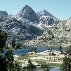
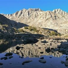
The turquoise colour of the proglacial lake at the glacier's terminus comes from fine rock flour suspended in the meltwater, and the Big Pine Lakes below share the same hue. A moulin formed in the ice during the 1977 drought, and a bergschrund marks the head of the glacier.
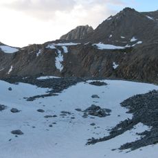
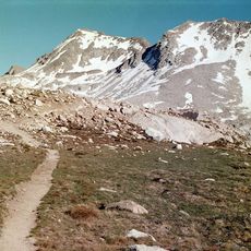
The glacier sits in the John Muir Wilderness, in the cirque below North Palisade and three other fourteeners, between roughly 12,000 and 13,400 ft. Approach from the Big Pine Creek trailhead; the turquoise proglacial lake dammed by the old moraine marks the terminus. Expect snowfields, a bergschrund and a moulin formed in the 1977 drought.
Palisade Glacier ends in a proglacial lake dammed by its old moraine, colored turquoise by suspended glacial powder; the Big Pine Lakes below share the color. A moulin formed in the 1977 drought, and a bergschrund sits near its head.
The community of curious travelers
AroundUs brings together thousands of curated places, local tips, and hidden gems, enriched daily by 94,303 contributors worldwide.