Enable Location

We need your location to show you interesting places around you

Discover nearby places

Find interesting locations and hidden gems around you

Precise directions

Get accurate directions and distances to places

Your location is never shared with other users. It's only used when you tap the location button.

Mount Agassiz

Log in to your account

Start exploring — it's free

Trusted by 62,062 travelers worldwide

Continue with Google
Continue with Apple
or

We will send you a code to connect

By continuing, you accept our Terms and Conditions and our Privacy Policy

Check your inbox

We've sent a pincode in your inbox. Please enter the code below.

Mount Agassiz

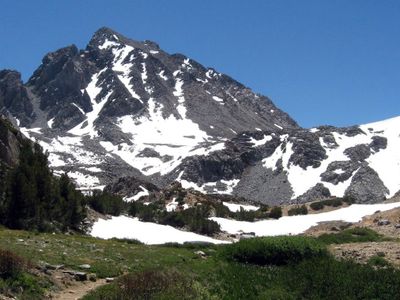
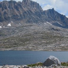
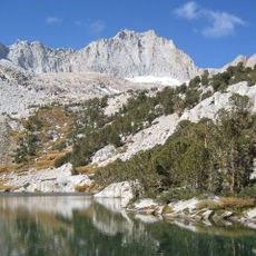
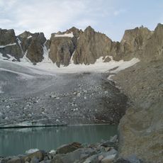
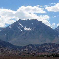
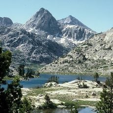
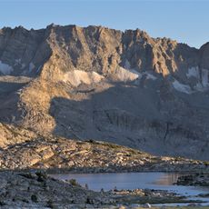
Mount Agassiz, Mountain summit in Inyo County and Fresno County, United States.

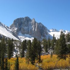
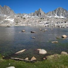
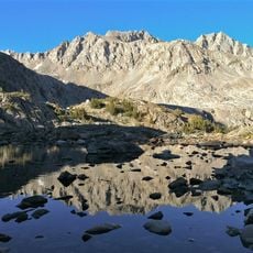
Mount Agassiz is a mountain peak in California's Sierra Nevada that rises to approximately 13,900 feet. It sits near Bishop Pass and can be reached via established climbing routes from the surrounding valleys.

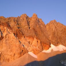
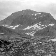
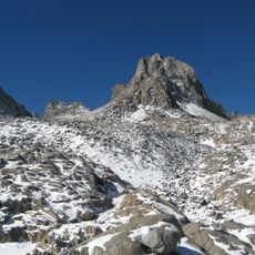
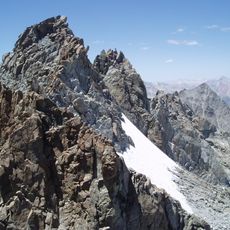
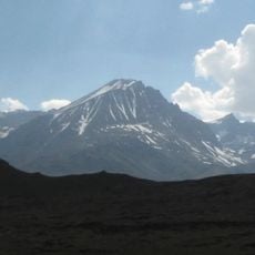
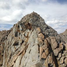
The peak was named Agassiz Needle in 1879 by Lilbourne Winchell to honor Louis Agassiz, a Harvard professor of zoology and geology. Norman Clyde made the first recorded ascent in 1925 using a challenging route through a canyon and along a ridge.

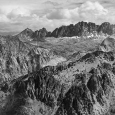
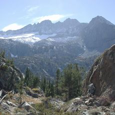
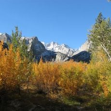
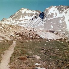
The peak marks the boundary between Kings Canyon National Park and Inyo National Forest. Hikers and climbers passing through the area use it as a natural reference point in this mountain landscape.

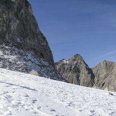
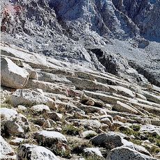
The Bishop Pass Trail from South Lake is the main approach to this peak for most climbers. The west slope provides the most direct route, though experience and proper equipment are needed for safe climbing.

The west slope is significantly easier to climb than other approaches, a fact many climbers overlook when planning their routes. This allows for a more efficient ascent compared to other sides of the mountain.

The community of curious travelers

AroundUs brings together thousands of curated places, local tips, and hidden gems, enriched daily by 60,000 contributors worldwide.

Start exploring
Location
Location
Part of
Sierra Peaks Section Peaks List, Vagmarken Club Sierra Crest List
GPS coordinates
37.11193,-118.53069
Latest update
December 12, 2025 09:08
« Mount Agassiz - Mountain summit in Inyo County and Fresno County, United States » is provided by Around Us (aroundus.com). Images and texts are derived from Wikimedia project under a Creative Commons license. You are allowed to copy, distribute, and modify copies of this page, under the conditions set by the license, as long as this note is clearly visible.

Discover hidden gems everywhere you go!

From secret cafés to breathtaking viewpoints, skip the crowded tourist spots and find places that match your style. Our app makes it easy with voice search, smart filtering, route optimization, and insider tips from travelers worldwide. Download now for the complete mobile experience.

Around Us App Screenshot

A unique approach to discovering new places

Le Figaro

All the places worth exploring

France Info

A tailor-made excursion in just a few clicks

20 Minutes

Around Us
Travel Guide & Maps
Download

Send to your phone

QR Code
1

Open the camera app on your mobile.

2

Point at the QR code with your camera. A notification will appear.

3

Tap the notification to open the link.