Clarkdale, town in Yavapai County, Arizona, United States
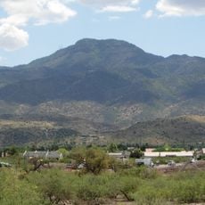
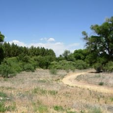
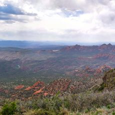
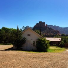
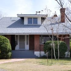
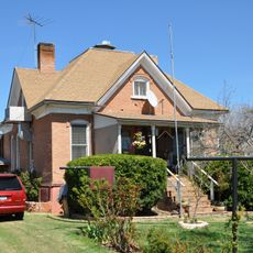
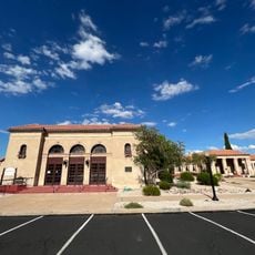
Clarkdale is a small town in Yavapai County, Arizona, founded as a mining company town in the early 1900s. It features brick and wooden buildings from that era, a central park with a gazebo, and sits near the Verde River surrounded by canyons and red rock landscapes.
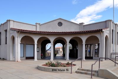
Clarkdale was founded in 1912 by Senator William Andrews Clark as a company town to house copper miners and support mining operations. The town was built with modern infrastructure for its time, including underground utilities and paved streets, reflecting careful urban planning.
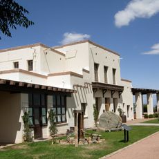
Clarkdale was built as a company town for copper miners, and its layout and buildings reflect that heritage. The town's identity still centers on this mining past, visible in how residents maintain the historic structures and gather at the central park.
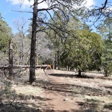
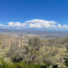
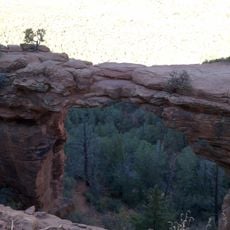
Clarkdale is located about 90 km north of Phoenix and 22 km south of Sedona, making it a convenient stopping point for exploring the region. The town center is easy to walk, but those visiting the Verde River or nearby hiking trails should bring sturdy shoes and water.
Clarkdale hosts one of the few viticulture programs at a community college in the region through Yavapai College. The revival of the historic Verde Canyon Railroad in 1990 transformed the old mining rail line into a scenic tourist route where riders often spot bald eagles.
The community of curious travelers
AroundUs brings together thousands of curated places, local tips, and hidden gems, enriched daily by 60,000 contributors worldwide.