Enable Location

We need your location to show you interesting places around you

Discover nearby places

Find interesting locations and hidden gems around you

Precise directions

Get accurate directions and distances to places

Your location is never shared with other users. It's only used when you tap the location button.

Arizona Trail

Log in to your account

Start exploring — it's free

Trusted by 63,408 travelers worldwide

Continue with Google
Continue with Apple
or

We will send you a code to connect

By continuing, you accept our Terms and Conditions and our Privacy Policy

Check your inbox

We've sent a pincode in your inbox. Please enter the code below.

Discussion Reviews 1 Photos
26k Popularity

Arizona Trail, National Scenic Trail in Arizona, US

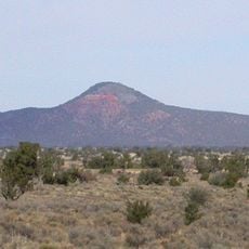
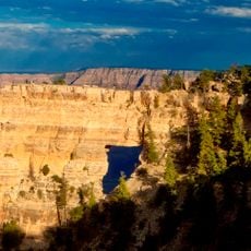
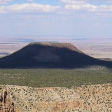
The Arizona Trail is a long-distance footpath running about 800 miles (1300 kilometers) from the Mexican border to Utah, moving through desert lowlands, forested highlands, and deep canyons. Divided into 43 distinct passages, the route shifts from saguaro-studded basins in the south to ponderosa pine forests in the north.

The Arizona Trail Association launched the project in the late 1980s, aiming to establish a continuous path across the full length of the state. Official recognition as a National Scenic Trail came in 2011, after more than two decades of volunteer and public agency construction work.

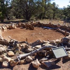
Hikers pass through territories tied to southwestern indigenous communities, where traditional paths and archaeological remains are visible along several segments. These areas carry living connections to the region's first inhabitants and their relationship with the land.

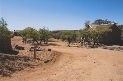
The 43 numbered passages offer different access points, with information available on nearby water sources and resupply options. Hikers should prepare for changing elevation, extreme temperatures, and long distances between towns.

Fires in 2024 impacted roughly 93 miles of the route, requiring extensive restoration and temporary closures in several passages. Volunteers continue working to stabilize burned sections and gradually restore through-hiking access.

The community of curious travelers

AroundUs brings together thousands of curated places, local tips, and hidden gems, enriched daily by 60,000 contributors worldwide.

Start exploring
Location
GPS coordinates
35.82410,-111.86900
Latest update
December 20, 2025 15:45
Around this place
Show the full map
Reviews
Share your experience

No review yet

Discussions
Start a discussion...

No discussion yet

« Arizona Trail - National Scenic Trail in Arizona, US » is provided by Around Us (aroundus.com). Images and texts are derived from Wikimedia project under a Creative Commons license. You are allowed to copy, distribute, and modify copies of this page, under the conditions set by the license, as long as this note is clearly visible.

Discover hidden gems everywhere you go!

From secret cafés to breathtaking viewpoints, skip the crowded tourist spots and find places that match your style. Our app makes it easy with voice search, smart filtering, route optimization, and insider tips from travelers worldwide. Download now for the complete mobile experience.

Around Us App Screenshot

A unique approach to discovering new places

Le Figaro

All the places worth exploring

France Info

A tailor-made excursion in just a few clicks

20 Minutes

Around Us
Travel Guide & Maps
Download

Send to your phone

QR Code
1

Open the camera app on your mobile.

2

Point at the QR code with your camera. A notification will appear.

3

Tap the notification to open the link.