Chest opened
+${chestReward.xp} XP
Explorer
NOUVEAU ×${chestReward.collectible.quantity}
tapez pour fermer

See the monuments around you in AR Open chests in the app

Around Us is built for your phone — point your camera at the streets and discover the monuments and places around you in augmented reality. Around Us is built for your phone — chests unlock when you walk, explore and capture nearby places.

Enable Location

We need your location to show you interesting places around you

Discover nearby places

Find interesting locations and hidden gems around you

Precise directions

Get accurate directions and distances to places

Your location is never shared with other users. It's only used when you tap the location button.

Red Butte

Log in to your account

Start exploring — it's free

Trusted by 87,024 travelers worldwide

Continue with Google
Continue with Apple
or

We will send you a code to connect

By continuing, you accept our Terms and Conditions and our Privacy Policy

Check your inbox

We've sent a pincode in your inbox. Please enter the code below.

Red Butte
Discussion Reviews 1 Photos
2.6k Popularity

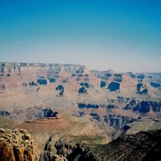
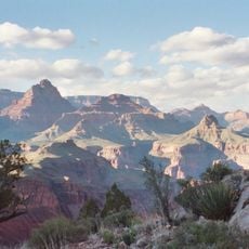
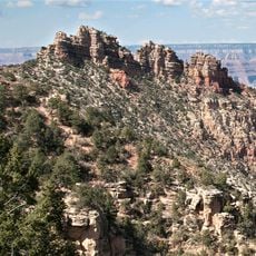
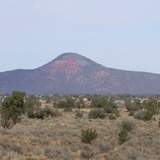
Red Butte, Mountain summit in Kaibab National Forest, Arizona.

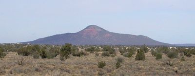
Red Butte is a mountain in Kaibab National Forest that rises above the Coconino Plateau and reaches approximately 2200 meters elevation. Its peak features sandstone formations topped with volcanic rock formations.

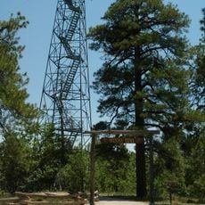
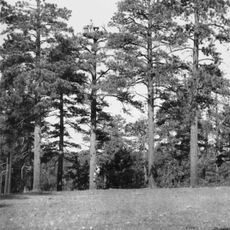
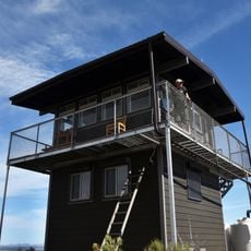
A fire lookout tower was built at the summit following forest service plans and is now registered as a historic structure. The tower reflects the history of fire management on Arizona's plateau lands.

The Havasupai people call this mountain Wii'i Gdwiisa, meaning 'clenched fist mountain' in their language, and hold it sacred. This name reflects the spiritual connection the local community has maintained with the landscape.

The hiking path to the summit covers about 5 kilometers and requires an elevation gain of about 280 meters, making it a moderate effort. The trail follows the west side of the mountain and remains accessible throughout the year.

Two large cistern tanks at the summit collect water to supply the lookout station staff. From this vantage point, visitors can see across to the San Francisco volcanic field with its numerous volcanic peaks.

The community of curious travelers

AroundUs brings together thousands of curated places, local tips, and hidden gems, enriched daily by 60,000 contributors worldwide.
Start exploring
Location
Elevation above the sea
2,232 m
Part of
Coconino Plateau
GPS coordinates
35.81999,-112.08961
Latest update
September 12, 2026 02:41
Around this place
Grand Canyon National Park
United States of America

Grand Canyon National Park

51.4 mi
South Kaibab Trail
United States of America

South Kaibab Trail

16.1 mi
Grand Canyon Railway
United States of America

Grand Canyon Railway

11.8 mi
Arizona Trail
United States of America

Arizona Trail

12.4 mi
Kaibab National Forest
United States of America

Kaibab National Forest

8.9 mi
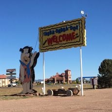
Bedrock City
United States of America

Bedrock City

11.9 mi
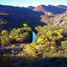
Sycamore Canyon
United States of America

Sycamore Canyon

3.2 mi
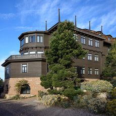
Grand Canyon Village Historic District
United States of America

Grand Canyon Village Historic District

16.5 mi
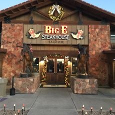
Big E Steakhouse & Saloon
United States of America

Big E Steakhouse & Saloon

10.8 mi
Grandview Trail
United States of America

Grandview Trail

13.6 mi
New Hance Trail
United States of America

New Hance Trail

16.5 mi
Grandview Mine
United States of America

Grandview Mine

15.1 mi
Grand Canyon South Rim Ranger's Dormitory
United States of America

Grand Canyon South Rim Ranger's Dormitory

16.5 mi
Grand Canyon Power House
United States of America

Grand Canyon Power House

16.6 mi
Grand Canyon Park Operations Building
United States of America

Grand Canyon Park Operations Building

16.5 mi
Grand Canyon Water Reclamation Plant
United States of America

Grand Canyon Water Reclamation Plant

16.3 mi
Grandview Lookout Tower and Cabin
United States of America

Grandview Lookout Tower and Cabin

12.2 mi
El Tovar Stables
United States of America

El Tovar Stables

16.5 mi
Sinking Ship
United States of America

Sinking Ship

13.9 mi
Hull Cabin Historic District
United States of America

Hull Cabin Historic District

13 mi
Grand Canyon Visitor Center
United States of America

Grand Canyon Visitor Center

16.6 mi
Moqui Ranger Station
United States of America

Moqui Ranger Station

11.8 mi
Horace M. Albright Training Center
United States of America

Horace M. Albright Training Center

16.2 mi
Hull Tank Lookout Tree
United States of America

Hull Tank Lookout Tree

11.1 mi
Tusayan Lookout Tree
United States of America

Tusayan Lookout Tree

10.8 mi
Mather Campground
United States of America

Mather Campground

15.9 mi
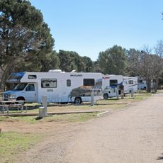
Trailer Village
United States of America

Trailer Village

16.2 mi
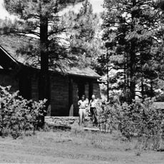
Red Butte Lookout Tower
United States of America

Red Butte Lookout Tower

280 ft
Show the full map
Reviews
Share your experience

No review yet

Discussions
Start a discussion...

No discussion yet

« Red Butte - Mountain summit in Kaibab National Forest, Arizona » is provided by Around Us (aroundus.com). Images and texts are derived from Wikimedia project under a Creative Commons license. You are allowed to copy, distribute, and modify copies of this page, under the conditions set by the license, as long as this note is clearly visible.

Discover hidden gems everywhere you go!

From secret cafés to breathtaking viewpoints, skip the crowded tourist spots and find places that match your style. Our app makes it easy with voice search, smart filtering, route optimization, and insider tips from travelers worldwide. Download now for the complete mobile experience.
Around Us App Screenshot

A unique approach to discovering new places

Le Figaro

All the places worth exploring

France Info

A tailor-made excursion in just a few clicks

20 Minutes

Around Us
Travel Guide & Maps
Download

Send to your phone

QR Code
1

Open the camera app on your mobile.

2

Point at the QR code with your camera. A notification will appear.

3

Tap the notification to open the link.