Sycamore Canyon, canyon in Yavapai and Coconino counties, Arizona
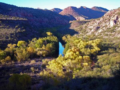
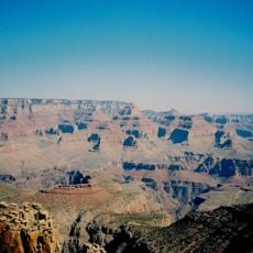
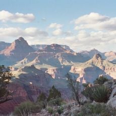
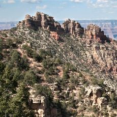
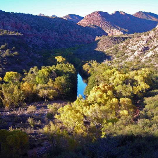
Sycamore Canyon is a 21-mile (34 km) long canyon in north-central Arizona, west and northwest of Sedona, reaching a maximum width of about 7 miles (11 km). Its steep walls show bands of reddish-brown, tan and gray rock, with darker reddish-purple tones near the rims. The narrow floor is mostly filled by Sycamore Creek, a bright turquoise stream flanked by dense clusters of yellow and green trees.
The canyon developed over millions of years as water carved through layers of sandstone and volcanic rock. These geological processes continue to shape the landscape and its appearance today.
The canyon lies within the traditional homeland of Yavapai and Apache peoples, and the Verde Valley below holds the Tuzigoot pueblo, a hilltop settlement built by the Sinagua. The Parsons Spring trail, the usual entry into the canyon, starts upriver from that monument, so a hike here passes land used by these communities before the Wilderness Act of 1964.
Several trails lead through the canyon and offer different ways to explore the area. Visitors should prepare for varying difficulty levels and bring sturdy footwear and plenty of water.
Sycamore Canyon is one of Arizona's oldest designated Wilderness Areas: it was a Forest Service "Primitive Area" before the Wilderness Act of 1964, and the 56,000-acre Sycamore Canyon Wilderness now protects it. The most popular way in is the Parsons Spring trail, upriver from Tuzigoot National Monument, reached by a high-clearance vehicle.
The community of curious travelers
AroundUs brings together thousands of curated places, local tips, and hidden gems, enriched daily by 93,134 contributors worldwide.