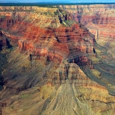
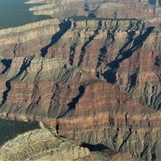
Thunder River Trail, Hiking trail in Grand Canyon National Park, North Rim, Arizona, United States.
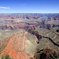
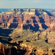
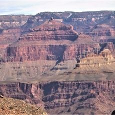
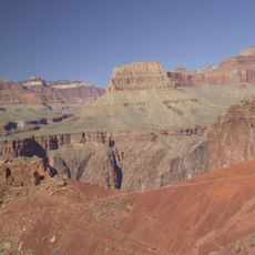
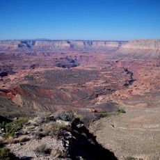
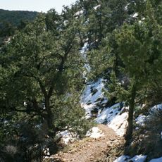
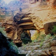
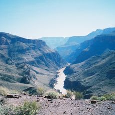
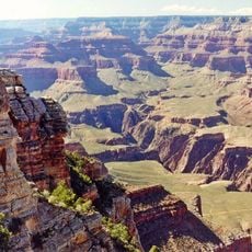
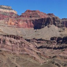
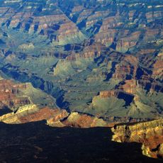
Thunder River Trail is a hiking route that descends from the North Rim deep into the Grand Canyon, losing over 4,400 feet in elevation as it winds through layered rock formations. The path eventually reaches the Colorado River, passing through diverse canyon terrain along the way.
Gold seekers began developing the upper trail sections from 1876 onward to access mining opportunities in the region. The Park Service finished building the remaining sections in 1939.
American Indian peoples traveled through this canyon region for centuries, leaving traces of their routes that helped shape the trail we see today. Their presence remains visible in how the path navigates the landscape.
Carry plenty of water and plan your hike carefully, as temperatures climb well above 100 degrees Fahrenheit during summer months. Start early in the day and watch for trail markers to stay on the correct route.
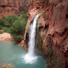
The route passes by a natural spring that erupts from limestone cliffs, creating Thunder River itself. This small river flows into Tapeats Creek before merging with the Colorado River downstream.
The community of curious travelers
AroundUs brings together thousands of curated places, local tips, and hidden gems, enriched daily by 60,000 contributors worldwide.