
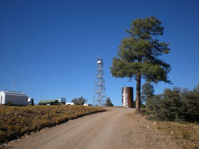
Thornton Lookout Tower
Location: Coconino County
Location: Hualapai Indian Reservation
GPS coordinates: 35.84659,-113.05455
Latest update: March 14, 2025 14:29

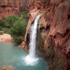
Havasu Falls
55.7 km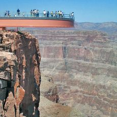
Colin Grand Canyon Skywalk
70.6 km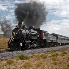
Grand Canyon Railway
74.7 km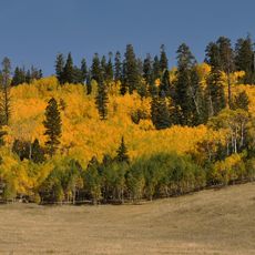
Kaibab National Forest
103.9 km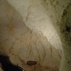
Grand Canyon Caverns
38.8 km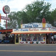
Delgadillo's Snow Cap Drive-In
60.2 km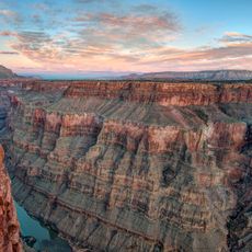
Toroweap Overlook
40.9 km
Hermit's Rest
79.7 km
Hermit Trail
79.6 km
Mount Trumbull Wilderness
62.8 km
Holy Grail Temple
82.6 km
Lava Falls Trail
41.7 km
Mount Logan Wilderness
54.2 km
Seligman Commercial Historic District
60.2 km
Kanab Creek Trail
71.7 km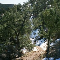
South Bass Trail
71.7 km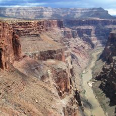
Tuckup Trail
43.8 km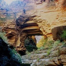
Royal Arch Route
66.5 km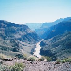
North Bass Trail
83.7 km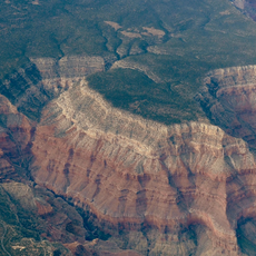
Hermit Canyon
79.7 km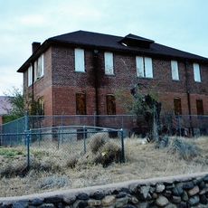
Schoolhouse at Truxton Canyon Training School
75 km
Masonic Temple
79.7 km
Tuna Canyon
82.3 km
Peach Springs Trading Post
48.9 km
Horse Valley Ranch
50.2 km
Topaz Canyon
78.9 km
Cocopa Point
77.6 km
Historic Angel's Barber Shop Museum
60.2 kmReviews
Visited this place? Tap the stars to rate it and share your experience / photos with the community! Try now! You can cancel it anytime.
Discover hidden gems everywhere you go!
From secret cafés to breathtaking viewpoints, skip the crowded tourist spots and find places that match your style. Our app makes it easy with voice search, smart filtering, route optimization, and insider tips from travelers worldwide. Download now for the complete mobile experience.

A unique approach to discovering new places❞
— Le Figaro
All the places worth exploring❞
— France Info
A tailor-made excursion in just a few clicks❞
— 20 Minutes