Chest opened
+${chestReward.xp} XP
Explorer
NOUVEAU ×${chestReward.collectible.quantity}
tapez pour fermer
Chest locked

Open chests in the app

Around Us is built for your phone — chests unlock when you walk, explore and capture nearby places.

Enable Location

We need your location to show you interesting places around you

Discover nearby places

Find interesting locations and hidden gems around you

Precise directions

Get accurate directions and distances to places

Your location is never shared with other users. It's only used when you tap the location button.

Gerlach–Empire

Log in to your account

Start exploring — it's free

Trusted by 73,014 travelers worldwide

Continue with Google
Continue with Apple
or

We will send you a code to connect

By continuing, you accept our Terms and Conditions and our Privacy Policy

Check your inbox

We've sent a pincode in your inbox. Please enter the code below.

Gerlach–Empire
Discussion Reviews 1 Photos
17.2k Popularity

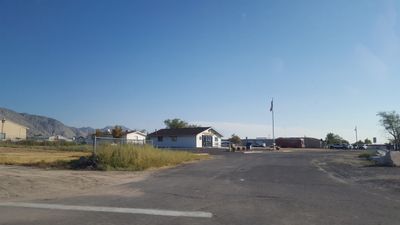
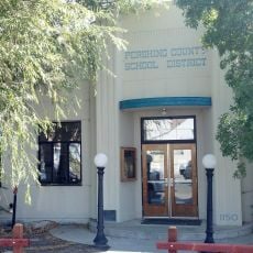
Gerlach–Empire, ghost town

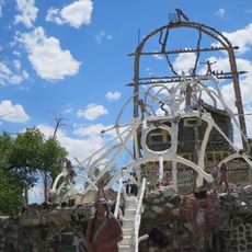
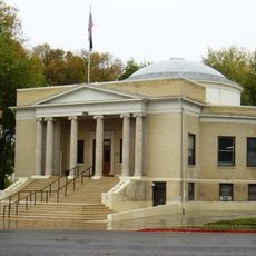
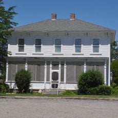
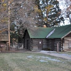
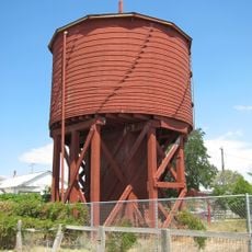
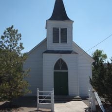
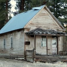
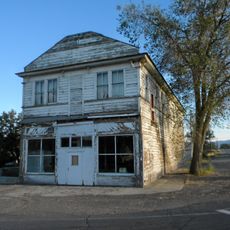
Gerlach-Empire is a ghost town in Nevada composed of two communities: Gerlach with a handful of active residents and businesses, and Empire, almost entirely abandoned after a gypsum mine closure. The buildings show varying states of age and disrepair, with some homes and structures still occupied while others sit empty with weathered furnishings and equipment left behind.

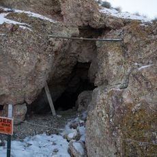
Gerlach developed as a small supply town and maintained modest activity over decades, while Empire flourished in the 1950s as a gypsum mine drew hundreds of workers to the area. When the mine closed in 2011, Empire rapidly transformed into an abandoned community, while Gerlach persisted as a tiny town with a handful of residents.

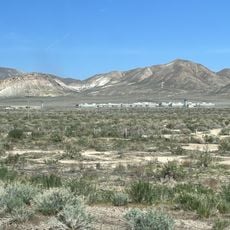
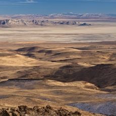
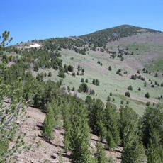
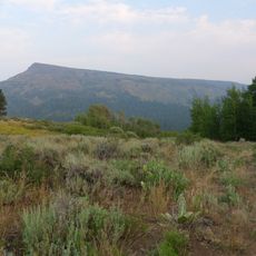
Visitors should know that some areas are difficult to access and sturdy vehicles may be needed, especially in Empire where roads are rough and neglected. Planning the route ahead and preparing for remote conditions is important, as services in this area are very limited.

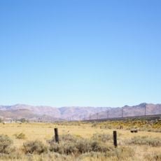
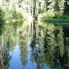
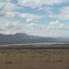
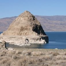
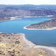
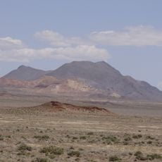
Gerlach sits near the Black Rock Desert and the Burning Man event site, drawing visitors from around the world, yet most local residents avoid the festival. This contrast between the world-famous gathering and the quiet local community creates an unusual dynamic that intrigues visitors seeking to experience the hidden side of this remote area.

The community of curious travelers

AroundUs brings together thousands of curated places, local tips, and hidden gems, enriched daily by 60,000 contributors worldwide.

Start exploring
Location
Elevation above the sea
1,203 m
GPS coordinates
40.62278,-119.34139
Latest update
February 17, 2026 01:00
Around this place
Fly Geyser
United States of America

Fly Geyser

26.4 km
Lovelock Correctional Center
United States of America

Lovelock Correctional Center

92.3 km
Lovelock Cave
United States of America

Lovelock Cave

99.1 km
Beckwourth Pass
United States of America

Beckwourth Pass

113.2 km
Thunder Mountain Monument
United States of America

Thunder Mountain Monument

102.1 km
Black Rock Desert – High Rock Canyon Emigrant Trails National Conservation Area
United States of America

Black Rock Desert – High Rock Canyon Emigrant Trails National Conservation Area

40.1 km
Rye Patch Reservoir
United States of America

Rye Patch Reservoir

89 km
South Warner Wilderness
United States of America

South Warner Wilderness

106.3 km
United States of America

Black Rock Desert Wilderness

82.4 km
Rye Patch State Recreation Area
United States of America

Rye Patch State Recreation Area

88.9 km
Star Peak
United States of America

Star Peak

99.6 km
Eagle Peak
United States of America

Eagle Peak

103.1 km
Humboldt Cave
United States of America

Humboldt Cave

97.8 km
High Rock Canyon Wilderness
United States of America

High Rock Canyon Wilderness

85.5 km
Anaho Island National Wildlife Refuge
United States of America

Anaho Island National Wildlife Refuge

75.9 km
Dodge Reservoir
United States of America

Dodge Reservoir

77.4 km
Hat Mountain
United States of America

Hat Mountain

88.3 km
Pershing County Courthouse
United States of America

Pershing County Courthouse

88.9 km
Marzen House
United States of America

Marzen House

88.6 km
Roop's Fort
United States of America

Roop's Fort

113.5 km
Gerlach Water Tower
United States of America

Gerlach Water Tower

3.4 km
Wadsworth Union Church
United States of America

Wadsworth Union Church

110 km
Jess Valley Schoolhouse
United States of America

Jess Valley Schoolhouse

108.5 km
Topog Peak
United States of America

Topog Peak

100.4 km
Ragged Top Mountain
United States of America

Ragged Top Mountain

80.3 km
Standish Hall
United States of America

Standish Hall

95.8 km
Vocational-Agriculture Building
United States of America

Vocational-Agriculture Building

79.2 km
Lassen County Court House
United States of America

Lassen County Court House

114.1 km
Show the full map
Reviews
Share your experience

No review yet

Discussions
Start a discussion...

No discussion yet

« Gerlach–Empire - ghost town » is provided by Around Us (aroundus.com). Images and texts are derived from Wikimedia project under a Creative Commons license. You are allowed to copy, distribute, and modify copies of this page, under the conditions set by the license, as long as this note is clearly visible.

Discover hidden gems everywhere you go!

From secret cafés to breathtaking viewpoints, skip the crowded tourist spots and find places that match your style. Our app makes it easy with voice search, smart filtering, route optimization, and insider tips from travelers worldwide. Download now for the complete mobile experience.

Around Us App Screenshot

A unique approach to discovering new places

Le Figaro

All the places worth exploring

France Info

A tailor-made excursion in just a few clicks

20 Minutes

Around Us
Travel Guide & Maps
Download

Send to your phone

QR Code
1

Open the camera app on your mobile.

2

Point at the QR code with your camera. A notification will appear.

3

Tap the notification to open the link.