Chest opened
+${chestReward.xp} XP
Explorer
NOUVEAU ×${chestReward.collectible.quantity}
tapez pour fermer
Chest locked

Open chests in the app

Around Us is built for your phone — chests unlock when you walk, explore and capture nearby places.

Enable Location

We need your location to show you interesting places around you

Discover nearby places

Find interesting locations and hidden gems around you

Precise directions

Get accurate directions and distances to places

Your location is never shared with other users. It's only used when you tap the location button.

Owyhee River

Log in to your account

Start exploring — it's free

Trusted by 72,891 travelers worldwide

Continue with Google
Continue with Apple
or

We will send you a code to connect

By continuing, you accept our Terms and Conditions and our Privacy Policy

Check your inbox

We've sent a pincode in your inbox. Please enter the code below.

Owyhee River
Discussion Reviews 1 Photos
17.9k Popularity

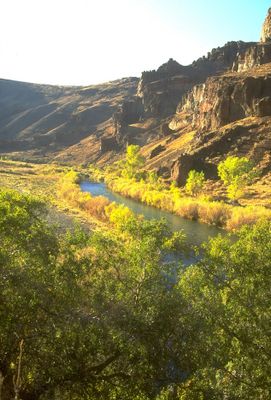
Owyhee River, River system in southwestern Idaho, United States.

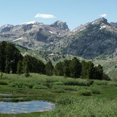
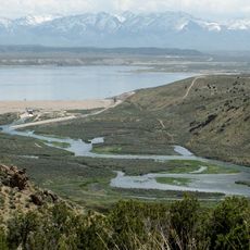
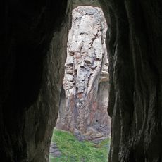
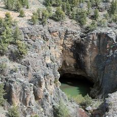
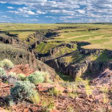
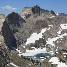
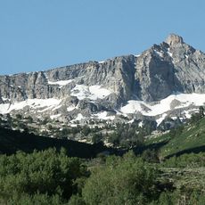
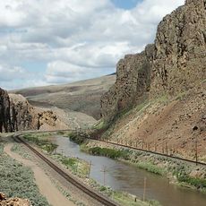
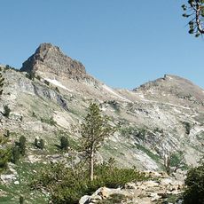
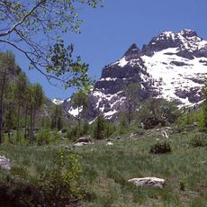
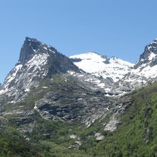
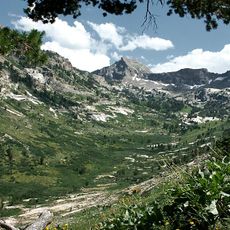
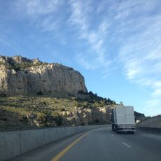
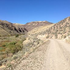
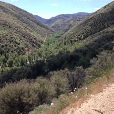
The Owyhee River is a river system in southwestern Idaho that flows for several hundred miles through diverse terrain. It cuts through deep canyons with steep volcanic walls that shape the character of the entire landscape.

The name comes from Hawaiian trappers who explored the region in the early 1800s. These early travelers left their mark on the geography even though their time here was brief.

The river was essential to Shoshone and Bannock peoples as a source of food and travel. Today, visitors can see how the landscape and water shape daily activities for those who live nearby.

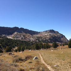
The river is best for paddling and swimming in spring when water levels are ideal. In summer, visitors can fish in clear pools or walk along the banks and explore the canyons at a relaxed pace.

A rare forget-me-not species grows only in the shaded cracks of the rock walls here. This plant exists nowhere else and has adapted perfectly to these harsh volcanic cliffs.

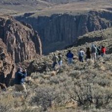
The community of curious travelers

AroundUs brings together thousands of curated places, local tips, and hidden gems, enriched daily by 60,000 contributors worldwide.

Start exploring
Location
GPS coordinates
41.50463,-115.74174
Latest update
December 7, 2025 19:23
Around this place
Jarbidge Wilderness
United States of America

Jarbidge Wilderness

45.3 km
Ruby Dome
United States of America

Ruby Dome

100.8 km
Owyhee River Wilderness
United States of America

Owyhee River Wilderness

109.7 km
Ruby Mountains Wilderness
United States of America

Ruby Mountains Wilderness

106.5 km
Ruby Crest National Recreation Trail
United States of America

Ruby Crest National Recreation Trail

110.2 km
South Fork State Recreation Area
United States of America

South Fork State Recreation Area

94.3 km
Wild Horse State Recreation Area
United States of America

Wild Horse State Recreation Area

19.1 km
Bruneau – Jarbidge Rivers Wilderness
United States of America

Bruneau – Jarbidge Rivers Wilderness

99.7 km
Pole Creek Wilderness
United States of America

Pole Creek Wilderness

130.2 km
Big Jacks Creek Wilderness
United States of America

Big Jacks Creek Wilderness

110.2 km
Little Jacks Creek Wilderness
United States of America

Little Jacks Creek Wilderness

138.4 km
United States of America

Carlin Canyon

88.1 km
Verdi Peaks
United States of America

Verdi Peaks

101 km
Mount Fitzgerald
United States of America

Mount Fitzgerald

103.9 km
Palisade Canyon
United States of America

Palisade Canyon

113.7 km
Elko County Courthouse
United States of America

Elko County Courthouse

74.7 km
Snow Lake Peak
United States of America

Snow Lake Peak

104.2 km
Mount Gilbert
United States of America

Mount Gilbert

101.1 km
United States of America

Gold Creek Ranger Station

28 km
Seitz Canyon
United States of America

Seitz Canyon

96.4 km
Right Fork Canyon
United States of America

Right Fork Canyon

100.1 km
Maverick Canyon
United States of America

Maverick Canyon

106.9 km
Marys River Peak
United States of America

Marys River Peak

42.5 km
California Trail Interpretive Center, Free Museum
United States of America

California Trail Interpretive Center, Free Museum

84.2 km
UEC Elko Cinema 6
United States of America

UEC Elko Cinema 6

74.6 km
UEC Crystal 5
United States of America

UEC Crystal 5

74.8 km
Bruneau Canyon
United States of America

Bruneau Canyon

142.4 km
Jarbidge Canyon
United States of America

Jarbidge Canyon

67.2 km
Show the full map
Reviews
Share your experience

No review yet

Discussions
Start a discussion...

No discussion yet

« Owyhee River - River system in southwestern Idaho, United States » is provided by Around Us (aroundus.com). Images and texts are derived from Wikimedia project under a Creative Commons license. You are allowed to copy, distribute, and modify copies of this page, under the conditions set by the license, as long as this note is clearly visible.

Discover hidden gems everywhere you go!

From secret cafés to breathtaking viewpoints, skip the crowded tourist spots and find places that match your style. Our app makes it easy with voice search, smart filtering, route optimization, and insider tips from travelers worldwide. Download now for the complete mobile experience.

Around Us App Screenshot

A unique approach to discovering new places

Le Figaro

All the places worth exploring

France Info

A tailor-made excursion in just a few clicks

20 Minutes

Around Us
Travel Guide & Maps
Download

Send to your phone

QR Code
1

Open the camera app on your mobile.

2

Point at the QR code with your camera. A notification will appear.

3

Tap the notification to open the link.