Owyhee River Wilderness, Nature reserve in Owyhee County, United States.
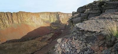
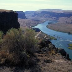
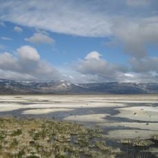
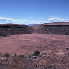
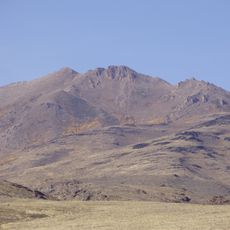
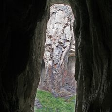
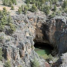
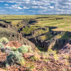
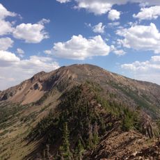
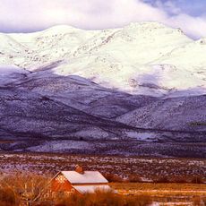
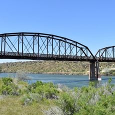
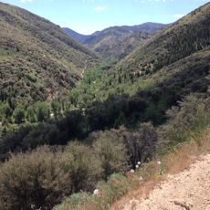
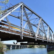
Owyhee River Wilderness is a federally protected nature reserve in the high desert of southwestern Idaho, close to the Oregon border. The terrain is shaped by deep river canyons cut into dark basalt rock, wide open plateaus, and dry valley floors crossed by the Owyhee River.
The area was formally designated as wilderness in 2009 through a federal law that placed the land under permanent protection. Before that, the land had been managed by federal agencies for decades without any formal wilderness designation.
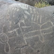
The name Owyhee is an old spelling of Hawaii, given to the area after Hawaiian fur trappers worked here in the early 1800s. That distant origin makes the name stand out in a landscape that feels completely removed from any coastal world.
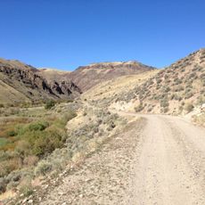
Reaching most parts of the reserve requires a high-clearance four-wheel-drive vehicle, as roads are unpaved and often rough. Carrying water, food, and emergency supplies is important because the nearest towns can take several hours to reach.
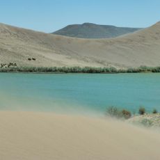
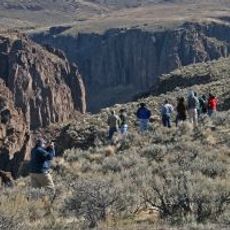
Some sections of the Owyhee River within the reserve are only reachable by water, meaning the canyon walls are so steep that no trail or road leads in from above. This makes those stretches among the most remote river runs in the country, drawing paddlers who want a route where almost no one else goes.
The community of curious travelers
AroundUs brings together thousands of curated places, local tips, and hidden gems, enriched daily by 60,000 contributors worldwide.