Chest opened
+${chestReward.xp} XP
Explorer
NOUVEAU ×${chestReward.collectible.quantity}
tapez pour fermer
Chest locked

Open chests in the app

Around Us is built for your phone — chests unlock when you walk, explore and capture nearby places.

Enable Location

We need your location to show you interesting places around you

Discover nearby places

Find interesting locations and hidden gems around you

Precise directions

Get accurate directions and distances to places

Your location is never shared with other users. It's only used when you tap the location button.

Dugway

Log in to your account

Start exploring — it's free

Trusted by 72,888 travelers worldwide

Continue with Google
Continue with Apple
or

We will send you a code to connect

By continuing, you accept our Terms and Conditions and our Privacy Policy

Check your inbox

We've sent a pincode in your inbox. Please enter the code below.

Discussion Reviews 1 Photos
18.6k Popularity

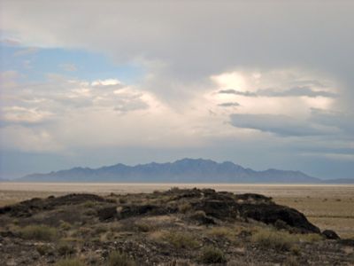
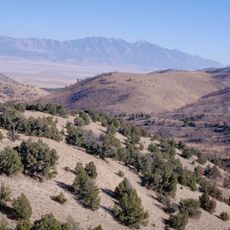
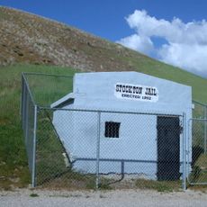
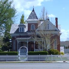
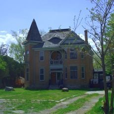
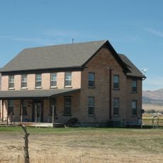
Dugway, Military census-designated place in Tooele County, United States.

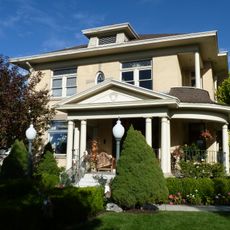
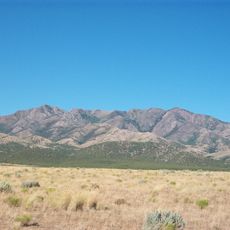
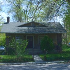
Dugway is a residential census-designated place within a military weapons testing facility in southeastern Tooele County, Utah. The settlement includes English Village, a self-contained housing area for military personnel and civilian employees of the installation.

The United States Army established Dugway in 1942 as a military installation for conducting weapons testing during World War II. The area has since developed into a permanent residential community supporting the facility's workforce.

The residential section called English Village houses both military personnel and civilian workers who form a closed community within the military installation boundaries.

Access to this location requires advance military authorization and identification at security checkpoints, as the area operates under strict security protocols. Visitors should plan accordingly and expect security procedures upon arrival.

With a population density of 387 people per square mile, Dugway maintains a diverse demographic composition including military families from various ethnic backgrounds.

The community of curious travelers

AroundUs brings together thousands of curated places, local tips, and hidden gems, enriched daily by 60,000 contributors worldwide.

Start exploring
Location
Inception
1942
GPS coordinates
40.23111,-112.75139
Latest update
December 7, 2025 19:22
Around this place
Bingham Canyon Mine
United States of America

Bingham Canyon Mine

60.5 km
Deseret Peak
United States of America

Deseret Peak

27.5 km
Cedar Mountain Wilderness
United States of America

Cedar Mountain Wilderness

43.4 km
Bingham Canyon Reclamation Project
United States of America

Bingham Canyon Reclamation Project

60.3 km
Deseret Peak Wilderness
United States of America

Deseret Peak Wilderness

26.3 km
United States of America

Five Mile Pass

56.9 km
Lincoln Highway Bridge
United States of America

Lincoln Highway Bridge

15.5 km
Thomas N. Taylor House
United States of America

Thomas N. Taylor House

17.6 km
Stockton Jail
United States of America

Stockton Jail

41.2 km
Harker Canyon (Tooele County, Utah)
United States of America

Harker Canyon (Tooele County, Utah)

35.8 km
Hilda Erickson House
United States of America

Hilda Erickson House

47.4 km
Tooele County Courthouse and City Hall
United States of America

Tooele County Courthouse and City Hall

51 km
Alex and Mary Alice Johnson House
United States of America

Alex and Mary Alice Johnson House

47.8 km
James and Penninah Wrathall House
United States of America

James and Penninah Wrathall House

47.6 km
Grantsville First Ward Meetinghouse
United States of America

Grantsville First Ward Meetinghouse

47.5 km
Grantsville School and Meetinghouse
United States of America

Grantsville School and Meetinghouse

47.6 km
John T. Rich House
United States of America

John T. Rich House

47.6 km
Tooele Carnegie Library
United States of America

Tooele Carnegie Library

51 km
John C. Sharp House
United States of America

John C. Sharp House

31.4 km
Knight Grain Elevator
United States of America

Knight Grain Elevator

57.3 km
Ophir Town Hall
United States of America

Ophir Town Hall

45 km
Fairfield District School
United States of America

Fairfield District School

56.3 km
Johnson Hall-Deseret Mercantile Building
United States of America

Johnson Hall-Deseret Mercantile Building

47.7 km
Cedar Fort School
United States of America

Cedar Fort School

55.9 km
David E. Davis House
United States of America

David E. Davis House

29.3 km
Reddick Hotel-Ophir LDS Meetinghouse
United States of America

Reddick Hotel-Ophir LDS Meetinghouse

44.9 km
Peter Clegg House
United States of America

Peter Clegg House

51 km
Stockton School
United States of America

Stockton School

41.3 km
Show the full map
Reviews
Share your experience

No review yet

Discussions
Start a discussion...

No discussion yet

« Dugway - Military census-designated place in Tooele County, United States » is provided by Around Us (aroundus.com). Images and texts are derived from Wikimedia project under a Creative Commons license. You are allowed to copy, distribute, and modify copies of this page, under the conditions set by the license, as long as this note is clearly visible.

Discover hidden gems everywhere you go!

From secret cafés to breathtaking viewpoints, skip the crowded tourist spots and find places that match your style. Our app makes it easy with voice search, smart filtering, route optimization, and insider tips from travelers worldwide. Download now for the complete mobile experience.

Around Us App Screenshot

A unique approach to discovering new places

Le Figaro

All the places worth exploring

France Info

A tailor-made excursion in just a few clicks

20 Minutes

Around Us
Travel Guide & Maps
Download

Send to your phone

QR Code
1

Open the camera app on your mobile.

2

Point at the QR code with your camera. A notification will appear.

3

Tap the notification to open the link.