Enable Location

We need your location to show you interesting places around you

Discover nearby places

Find interesting locations and hidden gems around you

Precise directions

Get accurate directions and distances to places

Your location is never shared with other users. It's only used when you tap the location button.

Twin Falls County

Log in to your account

Start exploring — it's free

Trusted by 62,902 travelers worldwide

Continue with Google
Continue with Apple
or

We will send you a code to connect

By continuing, you accept our Terms and Conditions and our Privacy Policy

Check your inbox

We've sent a pincode in your inbox. Please enter the code below.

Discussion Reviews 1 Photos
13.3k Popularity

Twin Falls County, Administrative division in southern Idaho, United States.

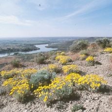
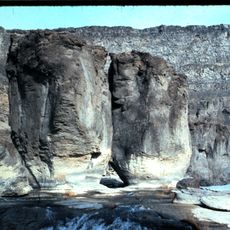
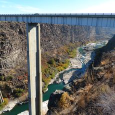
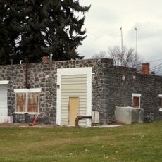
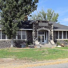
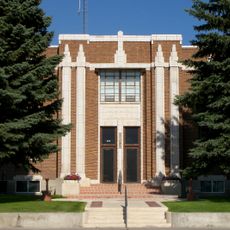
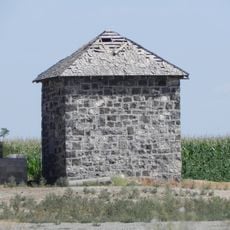
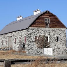
Twin Falls County is an administrative division in south-central Idaho that spans agricultural areas, residential communities, and portions of the Snake River Canyon. The county encompasses both rural farmland and smaller urban centers across varied terrain.

The development of irrigation systems in the late 1800s transformed this dry region into productive agricultural land. These networks became the foundation for the farming economy that shapes the area today.

The Twin Falls County Fair and Rodeo brings residents together each year to celebrate agricultural roots and community bonds. These gatherings reflect how farming and ranching remain woven into daily life and local identity.

The county administration provides digital services for property tax filings, vehicle registrations, and access to public records. These online options make handling administrative matters convenient from anywhere.

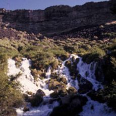
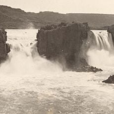
The discovery of quagga mussels in the Snake River led to new environmental protection measures in the area. This invasive species prompted authorities to monitor and safeguard local water systems.

The community of curious travelers

AroundUs brings together thousands of curated places, local tips, and hidden gems, enriched daily by 60,000 contributors worldwide.

Start exploring
GPS coordinates
42.27288,-114.69719
Latest update
December 7, 2025 20:40
Around this place
Shoshone Falls
United States of America

Shoshone Falls

43.4 km
Snake River Canyon
United States of America

Snake River Canyon

43 km
Perrine Bridge
United States of America

Perrine Bridge

41.6 km
Hagerman Fossil Beds National Monument
United States of America

Hagerman Fossil Beds National Monument

61.5 km
Thousand Springs State Park
United States of America

Thousand Springs State Park

66.7 km
Twin Falls
United States of America

Twin Falls

45 km
Wilson Butte Cave
United States of America

Wilson Butte Cave

69.4 km
Twin Falls Idaho Temple
United States of America

Twin Falls Idaho Temple

40.7 km
Pillar Falls
United States of America

Pillar Falls

42.3 km
Hansen Bridge
United States of America

Hansen Bridge

46.2 km
Owsley Bridge
United States of America

Owsley Bridge

56.9 km
Archie Webster House
United States of America

Archie Webster House

51.8 km
Jerome Cooperative Creamery
United States of America

Jerome Cooperative Creamery

52.1 km
Jerome City Pump House
United States of America

Jerome City Pump House

52.4 km
Falls City School House
United States of America

Falls City School House

50.7 km
Greer and Jennie Quay House
United States of America

Greer and Jennie Quay House

57 km
Jerome County Courthouse
United States of America

Jerome County Courthouse

52.6 km
James Bothwell Water Tank House
United States of America

James Bothwell Water Tank House

57.1 km
Arnold Stevens House
United States of America

Arnold Stevens House

51.2 km
Frank J. Brick House
United States of America

Frank J. Brick House

52.8 km
Julian T. Ricketts House
United States of America

Julian T. Ricketts House

50.8 km
E. C. Gleason House
United States of America

E. C. Gleason House

52.3 km
William Weigle House and Water Tank
United States of America

William Weigle House and Water Tank

54.9 km
Buhl IOOF Building
United States of America

Buhl IOOF Building

36.7 km
Dick Callen House
United States of America

Dick Callen House

47.3 km
Jacob B. Van Wagener Barn
United States of America

Jacob B. Van Wagener Barn

50 km
Denton J. Paul Water Tank
United States of America

Denton J. Paul Water Tank

80 km
Edgar Johnson House
United States of America

Edgar Johnson House

48 km
Show the full map
Reviews
Share your experience

No review yet

Discussions
Start a discussion...

No discussion yet

« Twin Falls County - Administrative division in southern Idaho, United States » is provided by Around Us (aroundus.com). Images and texts are derived from Wikimedia project under a Creative Commons license. You are allowed to copy, distribute, and modify copies of this page, under the conditions set by the license, as long as this note is clearly visible.

Discover hidden gems everywhere you go!

From secret cafés to breathtaking viewpoints, skip the crowded tourist spots and find places that match your style. Our app makes it easy with voice search, smart filtering, route optimization, and insider tips from travelers worldwide. Download now for the complete mobile experience.

Around Us App Screenshot

A unique approach to discovering new places

Le Figaro

All the places worth exploring

France Info

A tailor-made excursion in just a few clicks

20 Minutes

Around Us
Travel Guide & Maps
Download

Send to your phone

QR Code
1

Open the camera app on your mobile.

2

Point at the QR code with your camera. A notification will appear.

3

Tap the notification to open the link.