Chest opened
+${chestReward.xp} XP
Explorer
NOUVEAU ×${chestReward.collectible.quantity}
tapez pour fermer
Chest locked

Open chests in the app

Around Us is built for your phone — chests unlock when you walk, explore and capture nearby places.

Enable Location

We need your location to show you interesting places around you

Discover nearby places

Find interesting locations and hidden gems around you

Precise directions

Get accurate directions and distances to places

Your location is never shared with other users. It's only used when you tap the location button.

Log in to your account

Start exploring — it's free

Trusted by 72,877 travelers worldwide

Continue with Google
Continue with Apple
or

We will send you a code to connect

By continuing, you accept our Terms and Conditions and our Privacy Policy

Check your inbox

We've sent a pincode in your inbox. Please enter the code below.

Discussion Reviews Photo
900+ Popularity

Malad County, Former territorial county in Utah, United States

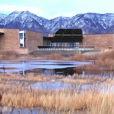
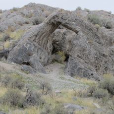
Malad County was a territorial county in Utah encompassing mountain ranges and valleys in the northern section of the territory. The region contained geographic features suitable for farming and settlement development.

The county was established on January 12, 1856 by the territorial legislature from part of Weber County. It was dissolved on January 17, 1862 with its territory reassigned to neighboring counties.

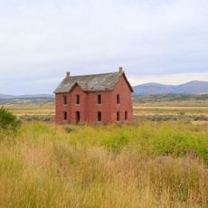
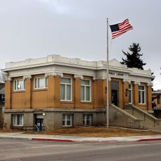
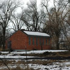
Early settlers built farms and small communities across the region, forming the social fabric during territorial times. These agricultural groups shaped how people lived and worked together in this area.

Historical records from the county are preserved in the Utah State Archives with documents from territorial courts and property deeds. These sources provide insight into administration and land matters of that period.

The territory was divided between multiple neighboring counties after its dissolution, with the majority transferred to Box Elder County. This made Malad County one of the few administrative areas in Utah that was entirely dissolved rather than merged into a larger entity.

The community of curious travelers

AroundUs brings together thousands of curated places, local tips, and hidden gems, enriched daily by 60,000 contributors worldwide.

Start exploring
Location
GPS coordinates
41.90000,-113.00000
Latest update
March 5, 2026 18:17
Around this place
Spiral Jetty
United States of America

Spiral Jetty

58.4 km
Lucin Cutoff
United States of America

Lucin Cutoff

80.2 km
City of Rocks National Reserve
United States of America

City of Rocks National Reserve

61.3 km
Golden Spike National Historical Park
United States of America

Golden Spike National Historical Park

49 km
Albion State Normal School
United States of America

Albion State Normal School

74.7 km
Bear River Migratory Bird Refuge
United States of America

Bear River Migratory Bird Refuge

88.7 km
Register Rock
United States of America

Register Rock

83.8 km
Castle Rocks State Park
United States of America

Castle Rocks State Park

61.9 km
Hogup Cave
United States of America

Hogup Cave

47 km
Cutler Reservoir
United States of America

Cutler Reservoir

79.3 km
Lake Walcott
United States of America

Lake Walcott

90.6 km
Martin Harris Gravesite
United States of America

Martin Harris Gravesite

79.7 km
Malad Second Ward Tabernacle
United States of America

Malad Second Ward Tabernacle

69.7 km
A. N. Tanner House
United States of America

A. N. Tanner House

77.1 km
Oneida County Courthouse
United States of America

Oneida County Courthouse

70.2 km
Transcontinental Railroad Grade
United States of America

Transcontinental Railroad Grade

63.5 km
United Presbyterian Church
United States of America

United Presbyterian Church

70.2 km
Albion Methodist Church
United States of America

Albion Methodist Church

74.4 km
Corinne Methodist Episcopal Church
United States of America

Corinne Methodist Episcopal Church

83.6 km
Hampton's Ford Stage Stop and Barn
United States of America

Hampton's Ford Stage Stop and Barn

75.3 km
Clarkston Tithing Granary
United States of America

Clarkston Tithing Granary

79 km
Co-op Block and J. N. Ireland Bank
United States of America

Co-op Block and J. N. Ireland Bank

70.1 km
Jedd Jones House
United States of America

Jedd Jones House

70.4 km
Garland Carnegie Library
United States of America

Garland Carnegie Library

71.7 km
Washakie LDS Ward Chapel
United States of America

Washakie LDS Ward Chapel

65 km
D.L. Evans Sr. Bungalow
United States of America

D.L. Evans Sr. Bungalow

70.3 km
George Washington Baker House
United States of America

George Washington Baker House

87.3 km
Chinese Arch
United States of America

Chinese Arch

51.8 km
Show the full map
Reviews
Share your experience

No review yet

Discussions
Start a discussion...

No discussion yet

« Malad County - Former territorial county in Utah, United States » is provided by Around Us (aroundus.com). Images and texts are derived from Wikimedia project under a Creative Commons license. You are allowed to copy, distribute, and modify copies of this page, under the conditions set by the license, as long as this note is clearly visible.

Discover hidden gems everywhere you go!

From secret cafés to breathtaking viewpoints, skip the crowded tourist spots and find places that match your style. Our app makes it easy with voice search, smart filtering, route optimization, and insider tips from travelers worldwide. Download now for the complete mobile experience.

Around Us App Screenshot

A unique approach to discovering new places

Le Figaro

All the places worth exploring

France Info

A tailor-made excursion in just a few clicks

20 Minutes

Around Us
Travel Guide & Maps
Download

Send to your phone

QR Code
1

Open the camera app on your mobile.

2

Point at the QR code with your camera. A notification will appear.

3

Tap the notification to open the link.