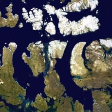
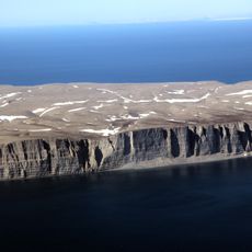
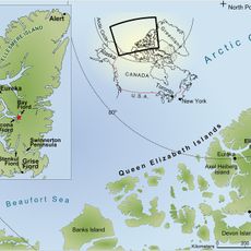
Devon Ice Cap, Ice cap in Nunavut, Canada
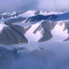
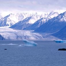
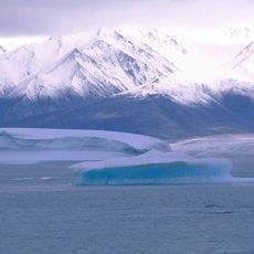
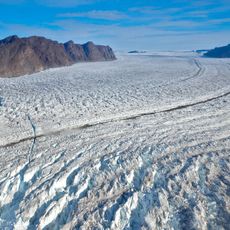
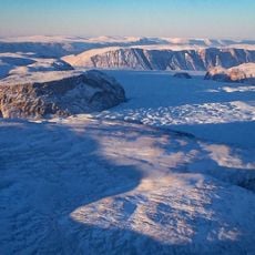
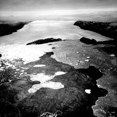
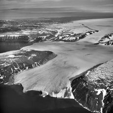
The Devon Ice Cap is a vast glacier system covering eastern Devon Island in Nunavut. Its surface features crevasses, meltwater streams, and frozen lakes, creating a complex and constantly changing frozen landscape.
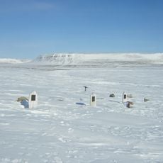
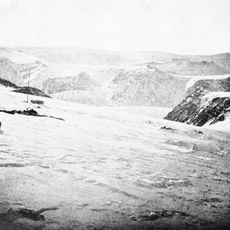
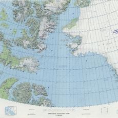
The first known expedition reached the ice cap in 1926, beginning systematic exploration and mapping of the region. Scientific interest grew as researchers realized the ice layers held valuable records of past climate conditions.
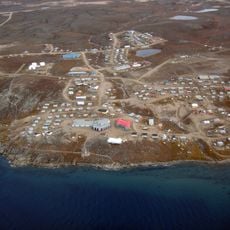
The ice cap has shaped the landscape and environment for Arctic peoples for centuries, though systematic study only began in recent times. Local knowledge about navigating and understanding this frozen world remains important for anyone working in the region.
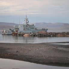
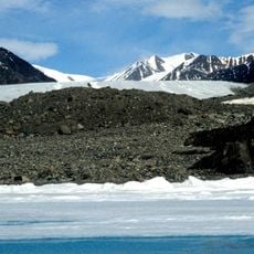
Visiting requires specialized equipment and transport due to its remote Arctic location and accessibility limited to brief summer months. Travelers should prepare for extreme cold, rapidly changing weather, and limited daylight hours, especially as polar seasons shift.
Two saltwater subglacial lakes lie hidden beneath the ice in deep bedrock cavities. These underground waters formed from meltwater and rock erosion over millions of years, representing a landscape few people will ever see.
The community of curious travelers
AroundUs brings together thousands of curated places, local tips, and hidden gems, enriched daily by 60,000 contributors worldwide.