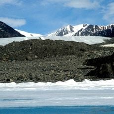
Kaparoqtalik Glacier, Arctic glacier in Byam Martin Mountains, Nunavut, Canada
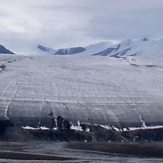
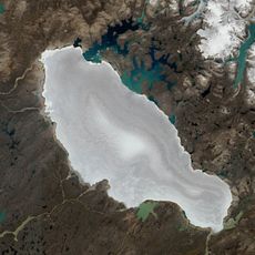
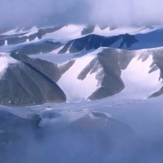
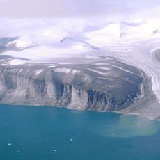
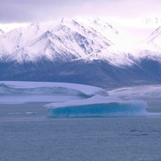
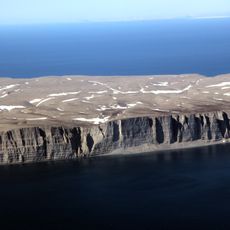
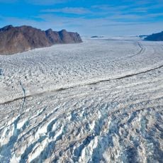
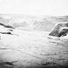
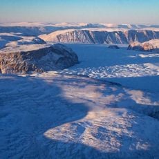
Kaparoqtalik Glacier lies on the southern coast of the Byam Martin Mountains on Bylot Island, in Sirmilik National Park, Nunavut. Its surface sits at about 241 metres above sea level, and the surrounding terrain is mountainous, rising to 1,087 metres within 2.5 kilometres to the northeast. No settlement stands anywhere nearby.
The glacier formed thousands of years ago through the accumulation and compression of snow and ice across the Arctic landscape. It has continuously shaped the terrain of Bylot Island through its flow and erosion.
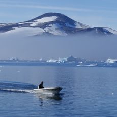
The glacier lies in Sirmilik National Park, created in 2001 and named from the Inuktitut words for "place of glaciers." Inuit from Pond Inlet and other Nunavut communities travel the sea ice and tundra around Bylot Island to hunt and fish, reading snow and ice conditions passed down through generations.
Kaparoqtalik Glacier sits on Bylot Island's southern coast in Sirmilik National Park, roughly 3,100 km northeast of Ottawa; no settlement lies nearby. The ice surface stands about 241 m above sea level, with surrounding ridges rising to 1,087 m within 2.5 km. Tundra climate brings January averages near −25 °C and July highs around 8 °C, so plan access by boat or aircraft from the park's gateway communities and carry cold-weather gear.
Research teams regularly monitor this glacier to track ice movement changes and understand broader climate patterns in the Arctic. These measurements help scientists detect shifts in glacier behavior across the entire region.
The community of curious travelers
AroundUs brings together thousands of curated places, local tips, and hidden gems, enriched daily by 94,363 contributors worldwide.