Byam Martin Mountains, Mountain range on Bylot Island, Nunavut, Canada
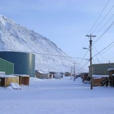
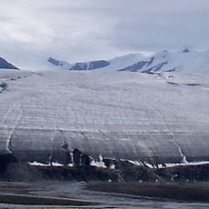
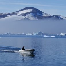
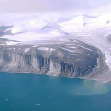
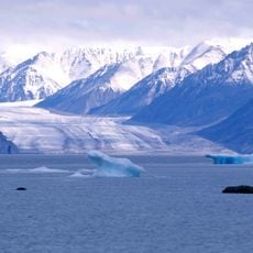
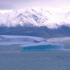
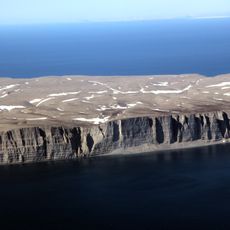
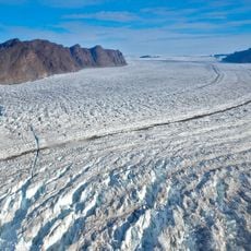
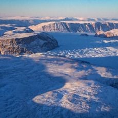
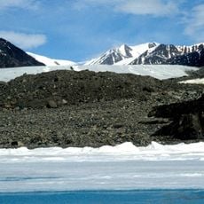
The Byam Martin Mountains run the length of Bylot Island, Nunavut, as an extension of the Baffin Mountains in the Arctic Cordillera. Sharp peaks and ridges are cut by deep glacier-filled valleys, and the range has been heavily modified by glacial erosion. Angilaaq Mountain, near the island's centre, is the highest summit at 1,951 m (6,401 ft). The rock is Archean-Aphebian igneous crystalline and Proterozoic metasedimentary and metamorphic rock such as gneiss.
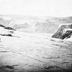
The first known expedition was by Pat Baird in 1939, who traversed Bylot Island from the Aktineq Glacier to Bathurst Bay and climbed an unnamed 6,000-foot peak on 7 June. Mount Thule (1,711 m) was climbed in 1954 by Ben Ferris of the Harvard Mountaineering Club. In 1963 Bill Tilman sailed to the north coast and crossed the island without climbing major peaks. Later Canadian expeditions in 1977, 1981 and 1984 made numerous first ascents.
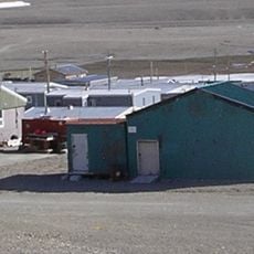
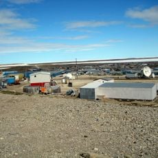
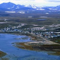
The range has no permanent settlements; Inuit from Pond Inlet and other communities travel there regularly. The name Byam Martin comes from the British naval officer Sir Thomas Byam Martin, though the sources do not record who assigned it to the range.
No settlements exist in the range; Inuit from Pond Inlet and elsewhere travel there regularly, so parties usually stage from Pond Inlet on Baffin Island. Access is by boat or aircraft to Bylot Island's coast, then overland across glaciers such as the Aktineq and Sermilik. Plan for extreme Arctic weather and self-sufficiency, as there is no infrastructure or rescue network.
Angilaaq Mountain within this range exceeds 1,900 meters (6,200 feet) in elevation and stands among the highest summits in the northern Canadian Arctic. The peak remains relatively obscure compared to more famous mountain ranges further south.
The community of curious travelers
AroundUs brings together thousands of curated places, local tips, and hidden gems, enriched daily by 93,493 contributors worldwide.