
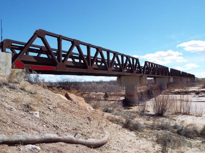
Obed Road Bridge
Location: Navajo County
GPS coordinates: 34.94166,-110.32383
Latest update: September 23, 2025 16:56
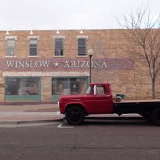
Standin' on the Corner Park
35.3 km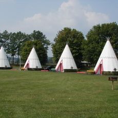
Wigwam Motel
14.9 km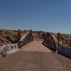
Chevelon Creek Bridge
18.9 km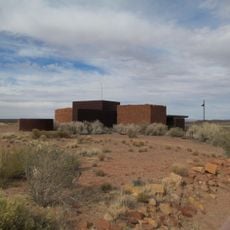
Homolovi State Park
29.3 km
La Posada Historic District
35 km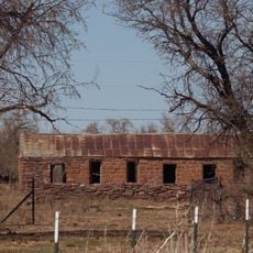
Brigham City
34.7 km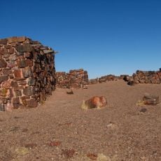
Agate House Pueblo
44.9 km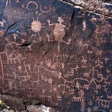
Newspaper Rock Petroglyphs Archeological District
47.9 km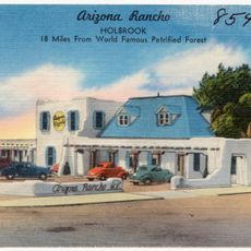
Arizona Rancho
15.5 km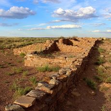
Puerco Ruin and Petroglyphs
48.5 km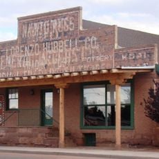
Lorenzo Hubbell Trading Post and Warehouse
35.8 km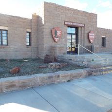
Rainbow Forest Museum
44.1 km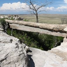
Agate Bridge
48.7 km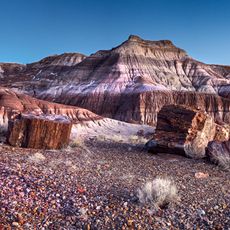
Jasper Forest
47.4 km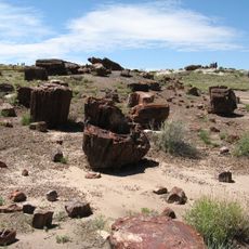
Rainbow Forest
43.4 km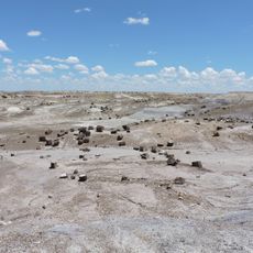
Crystal Forest
49.9 km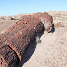
Giant Logs Trail
44 km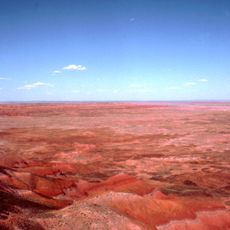
Petrified Forest National Wilderness Area
51.1 km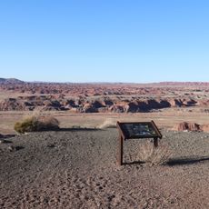
Chinde Point
50.8 km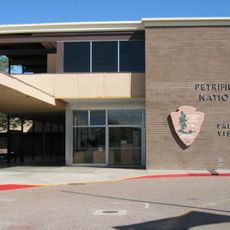
Painted Desert Visitor Center
51.3 km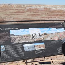
Jasper Forest Viewpoint
47.5 km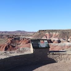
Whipple Point
50 km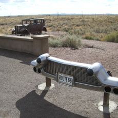
Route 66 Pullout
48.8 km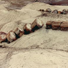
Giant Logs
44.1 km
Lacey Point
49.4 km
The Tepees North Pullout
50 km
Rainbow Forest Complex
44.1 km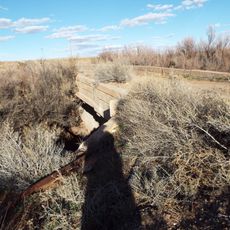
Holbrook Bridge
20.6 kmReviews
Visited this place? Tap the stars to rate it and share your experience / photos with the community! Try now! You can cancel it anytime.
Discover hidden gems everywhere you go!
From secret cafés to breathtaking viewpoints, skip the crowded tourist spots and find places that match your style. Our app makes it easy with voice search, smart filtering, route optimization, and insider tips from travelers worldwide. Download now for the complete mobile experience.

A unique approach to discovering new places❞
— Le Figaro
All the places worth exploring❞
— France Info
A tailor-made excursion in just a few clicks❞
— 20 Minutes