Chest opened
+${chestReward.xp} XP
Explorer
NOUVEAU ×${chestReward.collectible.quantity}
tapez pour fermer
Chest locked

Open chests in the app

Around Us is built for your phone — chests unlock when you walk, explore and capture nearby places.

Enable Location

We need your location to show you interesting places around you

Discover nearby places

Find interesting locations and hidden gems around you

Precise directions

Get accurate directions and distances to places

Your location is never shared with other users. It's only used when you tap the location button.

Log in to your account

Start exploring — it's free

Trusted by 72,993 travelers worldwide

Continue with Google
Continue with Apple
or

We will send you a code to connect

By continuing, you accept our Terms and Conditions and our Privacy Policy

Check your inbox

We've sent a pincode in your inbox. Please enter the code below.

Ogden–Clearfield metropolitan area
Discussion Reviews Photo
13.1k Popularity

Ogden–Clearfield metropolitan area, Metropolitan Statistical Area in northern Utah, United States.

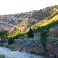
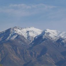
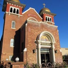
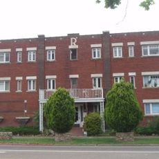
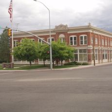
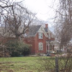
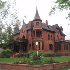
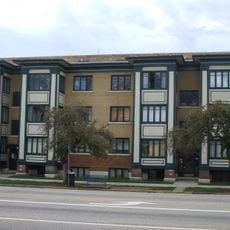
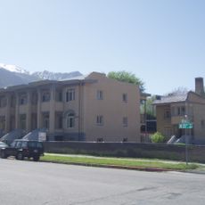
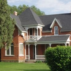
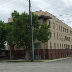
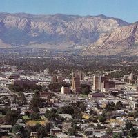
The Ogden-Clearfield area is a metropolitan region in northern Utah nestled at the base of the Wasatch Mountains. It combines residential neighborhoods with suburban developments alongside mountain landscapes and federal lands that span across multiple counties.

The area developed from agricultural roots into a modern metropolitan region through steady settlement and growth. Federal recognition as a Metropolitan Statistical Area formalized its status as a significant urban center.

The metropolitan population of 658,013 residents maintains strong educational standards with 94.5 percent holding high school diplomas and 35.3 percent achieving university degrees.

Commute times in the region average less than half an hour, making it convenient for people traveling between home and work. The area's layout with multiple towns helps distribute traffic and reduces congestion across the metropolitan zone.

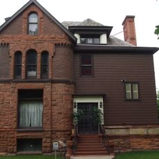
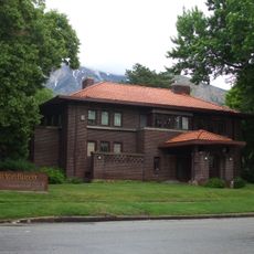
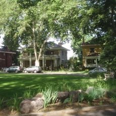
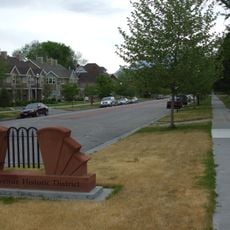
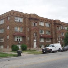
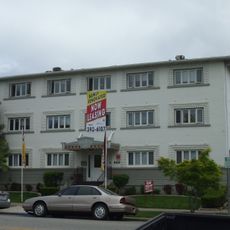
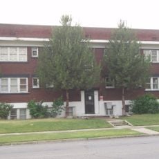
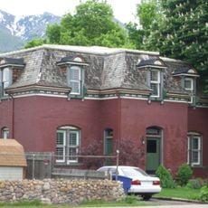
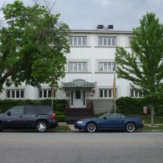
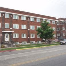
The region encompasses eight distinct towns including Ogden, Bountiful, Clearfield, and Layton, each maintaining its own character. This fragmented structure creates a patchwork of different neighborhoods rather than one unified urban center.

The community of curious travelers

AroundUs brings together thousands of curated places, local tips, and hidden gems, enriched daily by 60,000 contributors worldwide.

Start exploring
Location
GPS coordinates
41.13333,-111.91667
Latest update
March 5, 2026 16:38
Around this place
United States of America

Kay's Cross

9.2 km
Hill Aerospace Museum
United States of America

Hill Aerospace Museum

9.2 km
Weber Canyon
United States of America

Weber Canyon

1.1 km
Mount Ogden
United States of America

Mount Ogden

8 km
John Moses Browning House
United States of America

John Moses Browning House

10.1 km
Gustav Becker House
United States of America

Gustav Becker House

10.3 km
Devil's Gate-Weber Hydroelectric Power Plant
United States of America

Devil's Gate-Weber Hydroelectric Power Plant

2.7 km
Eccles Avenue Historic District
United States of America

Eccles Avenue Historic District

10 km
United States of America

Ott Planetarium

7.1 km
Jefferson Avenue Historic District
United States of America

Jefferson Avenue Historic District

10.4 km
Tepanyaki
United States of America

Tepanyaki

7.8 km
Congregation Montefiore Synagogue
United States of America

Congregation Montefiore Synagogue

9.4 km
Hillcrest Apartments
United States of America

Hillcrest Apartments

10.4 km
Davis Lanes
United States of America

Davis Lanes

8.4 km
Farmer's Union Building
United States of America

Farmer's Union Building

9.1 km
Joseph Adams House
United States of America

Joseph Adams House

7.9 km
Bertha Eccles Community Art Center
United States of America

Bertha Eccles Community Art Center

10.3 km
Browning Apartments
United States of America

Browning Apartments

10.3 km
Avon Apartments
United States of America

Avon Apartments

10.2 km
John Henry Layton House
United States of America

John Henry Layton House

9.7 km
Barnhart Apartments
United States of America

Barnhart Apartments

10.4 km
Ladywood Apartments
United States of America

Ladywood Apartments

10.2 km
Avelan Apartments
United States of America

Avelan Apartments

10.2 km
Flowers Apartments
United States of America

Flowers Apartments

10.1 km
John L. and Elizabeth Dalton House
United States of America

John L. and Elizabeth Dalton House

10.1 km
La Frantz Apartments
United States of America

La Frantz Apartments

10.2 km
McGregor Apartments
United States of America

McGregor Apartments

10.4 km
Classic Waterslides
United States of America

Classic Waterslides

8.1 km
Show the full map
Reviews
Share your experience

No review yet

Discussions
Start a discussion...

No discussion yet

Administrative divisions
« Ogden–Clearfield metropolitan area - Metropolitan Statistical Area in northern Utah, United States » is provided by Around Us (aroundus.com). Images and texts are derived from Wikimedia project under a Creative Commons license. You are allowed to copy, distribute, and modify copies of this page, under the conditions set by the license, as long as this note is clearly visible.

Discover hidden gems everywhere you go!

From secret cafés to breathtaking viewpoints, skip the crowded tourist spots and find places that match your style. Our app makes it easy with voice search, smart filtering, route optimization, and insider tips from travelers worldwide. Download now for the complete mobile experience.

Around Us App Screenshot

A unique approach to discovering new places

Le Figaro

All the places worth exploring

France Info

A tailor-made excursion in just a few clicks

20 Minutes

Around Us
Travel Guide & Maps
Download

Send to your phone

QR Code
1

Open the camera app on your mobile.

2

Point at the QR code with your camera. A notification will appear.

3

Tap the notification to open the link.