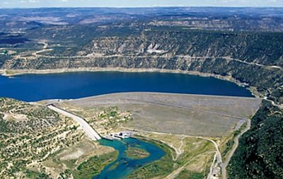
Navajo Dam, Embankment dam in San Juan County, US
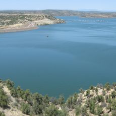
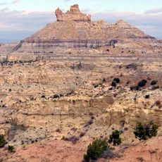
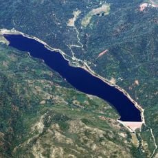
Navajo Dam is an earthen dam on the San Juan River in northwestern New Mexico, forming a reservoir called Navajo Lake that reaches into southern Colorado. The dam sits in a canyon of red sandstone walls, and the water behind it fills a long, narrow valley between rocky ridges.
The dam was completed in the early 1960s by the federal Bureau of Reclamation as part of a broader plan to bring water to farmland across the Colorado River basin. The Navajo Nation, whose name the structure carries, had long lived in this region before the project was built.
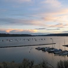
The reservoir and the river below draw anglers from across the region, and fishing is the main reason most people come here today. Along the banks you can see tents, fishing rods, and small boats, giving the place a relaxed, everyday feel.
The area is accessible from the small community called Navajo Dam, located just below the dam structure itself on the New Mexico side. Anglers should check local regulations before visiting, as the stretch of river below the dam has its own specific rules.
Water released from the dam comes from deep within the reservoir and is much colder than the original river water ever was. This cold flow turned the San Juan River into one of the most popular trout fisheries in the Southwest, even though trout never lived there naturally before the dam was built.
The community of curious travelers
AroundUs brings together thousands of curated places, local tips, and hidden gems, enriched daily by 60,000 contributors worldwide.