Wanzhou, Administrative district in northeastern Chongqing, China.
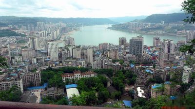
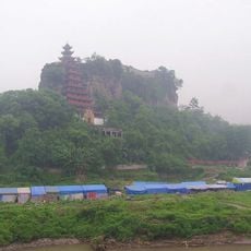
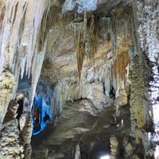
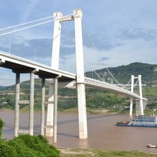
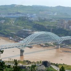
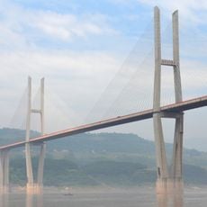
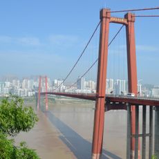
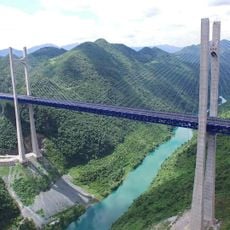
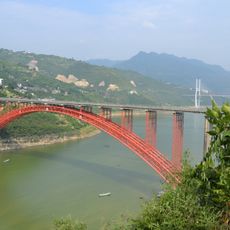
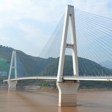
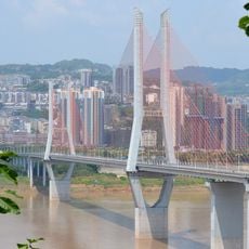
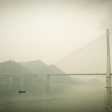
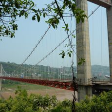
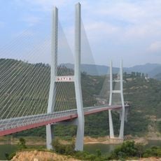
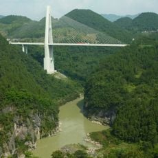
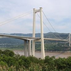
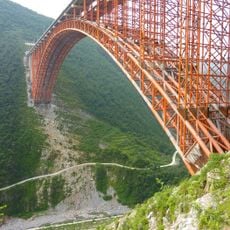
Wanzhou is an administrative district in northeastern Chongqing with landscapes that shift from low river valleys to mountain peaks. The Yangtze River runs through the region, crossed multiple times, shaping how people move and live.
The area began as Quren County during the Qin dynasty and later became Wan Prefecture under the Tang. It remained distinct until 1997, when it was incorporated into Chongqing municipality.
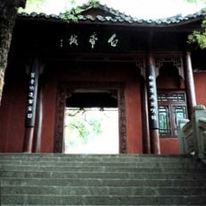
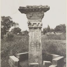
The ancient Ba-style bronze drum discovered in 1989 reveals the district's deep ties to a civilization that flourished here two millennia ago. This artifact shapes how local people understand their heritage today.
The transport network includes several Yangtze crossings and two railway stations, with Wanzhou North offering high-speed trains to major cities. Visitors should keep in mind that the hilly terrain affects how to get around the area.
The construction of the Three Gorges Dam flooded roughly half of the original city, forcing the relocation of tens of thousands of people. These massive changes shaped the infrastructure and layout you see today.
The community of curious travelers
AroundUs brings together thousands of curated places, local tips, and hidden gems, enriched daily by 60,000 contributors worldwide.