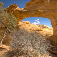
Goblin Valley, Natural valley in Emery County, United States.
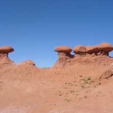
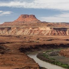
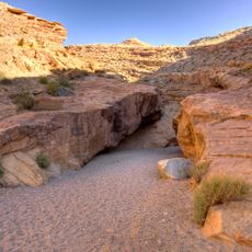
Goblin Valley is a desert valley in Emery County, Utah, about 3,200 km west of Washington, D.C. Its floor holds thousands of orange-brown sandstone towers and pedestals, mushroom-shaped because harder caps protect softer rock beneath from erosion. Summer highs average 34 °C, December lows about −2 °C, and yearly rainfall is roughly 190 mm.
Arthur Chaffin, a local rancher, came upon the valley in the 1920s while scouting an alternative route between Green River and Cainsville, and named it Mushroom Valley for its capped sandstone pillars. Utah designated it a state park in 1964, and the surrounding area later became part of the San Rafael Swell recreation region.
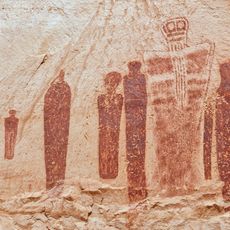
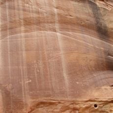
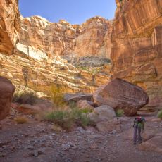
The name comes from the hoodoo formations that early visitors likened to goblins. The Fremont, Paiute and Ute peoples left pictograph and petroglyph panels across the San Rafael Swell, and some rock art can be seen in the surrounding area. Visitors today walk among the formations and often give the rocks nicknames.
Goblin Valley lies in Emery County, Utah, about 3,200 km west of Washington, D.C., in a cold desert climate with July highs averaging 34 °C and December lows near -2 °C. Annual rainfall is only about 190 mm, mostly in August. Carry water and go early; the valley floor has no marked trails, so route-finding is up to you.
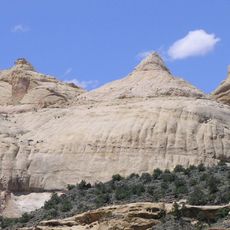
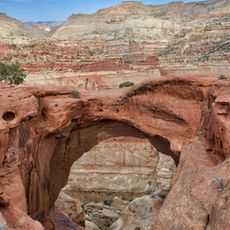
The formations are made of Entrada Sandstone, laid down as soft dunes about 170 million years ago. Erosion then wore away the softer layers, leaving harder caps balanced on narrow stalks. The valley lies in the San Rafael Swell, and its rows of hoodoos are what gave the place the name Goblin Valley.
The community of curious travelers
AroundUs brings together thousands of curated places, local tips, and hidden gems, enriched daily by 93,232 contributors worldwide.