
Xiangtang, Jiangxi, town
Location: Nanchang County
Elevation above the sea: 31 m
GPS coordinates: 28.43432,115.96499
Latest update: March 25, 2025 11:52
Tomb of Marquess of Haihun
66.7 km
Pavilion of Prince Teng
29.1 km
Star of Nanchang
27.6 km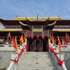
Wanshou Palace
18.2 km
Badashanren ji nian guan
20 km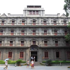
Nanchang ba yi qi yi ji nian guan
28.3 km
Poyanghu Pingyuan
33.6 km
Jiangxi Sheng bo wu guan
28.8 km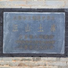
Wangshan Tuku
64.7 km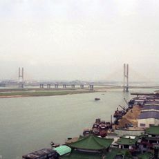
Bayi Bridge
30.3 km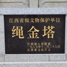
Shengjin Pagoda
26.5 km
Gezao Shan
70.9 km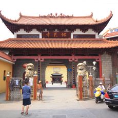
Youmin Temple
28.9 km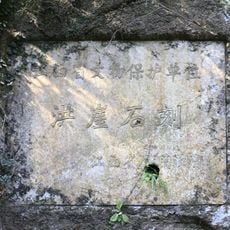
Hongya Danjing
40.4 km
Former Headquarters of the New Fourth Army
27.3 km
Hongzhou Kiln
20.9 km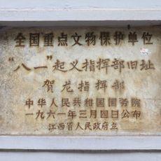
Site of He Long's Headquarters of Nanchang Uprising
28.9 km
Xinghua Lou
28.8 km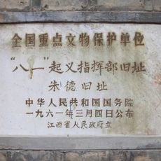
Former Residence of Zhu De
28.8 km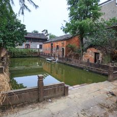
Yuling Shanguan & Yunting Bieshu
11 km
Mingshui Bridge
71.1 km
南昌行营旧址
28.2 km
Former Site of Officers Educational Regiment Established by Zhu De
28.9 km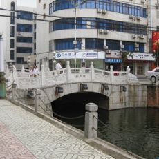
Zhuangyuan Bridge
28.7 km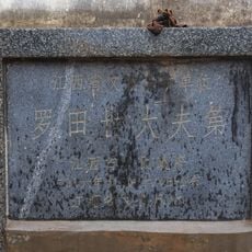
Luotian Shidaifudi
50 km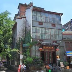
Huang Qiuyuan Memorial
27.6 km
Maojiayuan Shuiku
56.6 km
Maojia Shuiku
46.7 kmReviews
Visited this place? Tap the stars to rate it and share your experience / photos with the community! Try now! You can cancel it anytime.
Discover hidden gems everywhere you go!
From secret cafés to breathtaking viewpoints, skip the crowded tourist spots and find places that match your style. Our app makes it easy with voice search, smart filtering, route optimization, and insider tips from travelers worldwide. Download now for the complete mobile experience.

A unique approach to discovering new places❞
— Le Figaro
All the places worth exploring❞
— France Info
A tailor-made excursion in just a few clicks❞
— 20 Minutes