Chest opened
+${chestReward.xp} XP
Explorer
NOUVEAU ×${chestReward.collectible.quantity}
tapez pour fermer
Chest locked

Open chests in the app

Around Us is built for your phone — chests unlock when you walk, explore and capture nearby places.

Enable Location

We need your location to show you interesting places around you

Discover nearby places

Find interesting locations and hidden gems around you

Precise directions

Get accurate directions and distances to places

Your location is never shared with other users. It's only used when you tap the location button.

Southern Ute Indian Reservation

Log in to your account

Start exploring — it's free

Trusted by 72,988 travelers worldwide

Continue with Google
Continue with Apple
or

We will send you a code to connect

By continuing, you accept our Terms and Conditions and our Privacy Policy

Check your inbox

We've sent a pincode in your inbox. Please enter the code below.

Southern Ute Indian Reservation
Discussion Reviews 1 Photos
17.8k Popularity

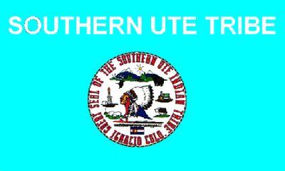
Southern Ute Indian Reservation, Native American reservation in Montezuma County, Colorado, United States

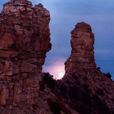
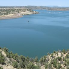
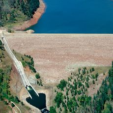
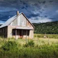
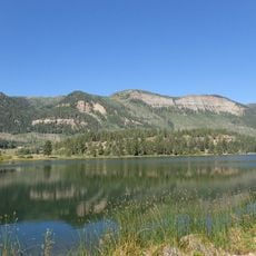
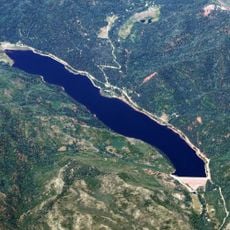
The Southern Ute Indian Reservation is a territory in southwestern Colorado governed by the Ute Nation, with tribal administration centered in Ignacio. The land includes vast areas of prairie and mountains where the community maintains its settlements and traditional lands.

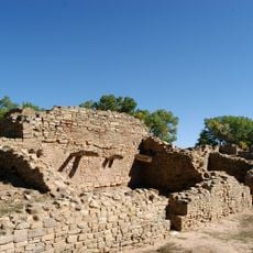
The territory was formally established as a reservation through a treaty in 1868, though a later agreement reduced its size due to mineral discoveries. These changes shaped the modern territory that the Ute Nation occupies today.

The Southern Ute Tribe maintains its identity through three distinct bands - the Mouache, Capote, and Weeminuche, each with specific historical territories.

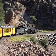
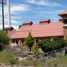
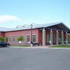
Access to community facilities and information is available through the tribal office in Ignacio, where visitors can get orientation. Most areas are open to visitors, but respect local rules and private property.

The reservation implements a successful coalbed methane capture project, demonstrating environmental leadership in greenhouse gas reduction from 2009 to 2017.

The community of curious travelers

AroundUs brings together thousands of curated places, local tips, and hidden gems, enriched daily by 60,000 contributors worldwide.

Start exploring
Location
GPS coordinates
37.10957,-107.65618
Latest update
December 7, 2025 19:23
Around this place
Durango and Silverton Narrow Gauge Railroad
United States of America

Durango and Silverton Narrow Gauge Railroad

28.3 km
Aztec Ruins National Monument
United States of America

Aztec Ruins National Monument

43.1 km
Chimney Rock National Monument
United States of America

Chimney Rock National Monument

31.6 km
Navajo Lake
United States of America

Navajo Lake

33 km
Hesperus Mountain
United States of America

Hesperus Mountain

53.5 km
Navajo State Park
United States of America

Navajo State Park

24.7 km
Strater Hotel
United States of America

Strater Hotel

26.9 km
Lemon Dam
United States of America

Lemon Dam

30.4 km
Southern Ute Cultural Center and Museum
United States of America

Southern Ute Cultural Center and Museum

3.3 km
Main Avenue Historic District
United States of America

Main Avenue Historic District

26.9 km
United States of America

Jupiter Mountain

56.3 km
Frances Canyon Ruin
United States of America

Frances Canyon Ruin

40.9 km
Durango High School
United States of America

Durango High School

27.1 km
Durango Discovery Museum
United States of America

Durango Discovery Museum

27.4 km
Debs School
United States of America

Debs School

57 km
Labo Del Rio Bridge
United States of America

Labo Del Rio Bridge

22.6 km
Aztec Ruins Administration Building-Museum
United States of America

Aztec Ruins Administration Building-Museum

43.3 km
American Hotel
United States of America

American Hotel

44.5 km
Aztec Main Street Historic District
United States of America

Aztec Main Street Historic District

44.2 km
D.C. Ball House
United States of America

D.C. Ball House

43.4 km
Aztec Motor Company Building
United States of America

Aztec Motor Company Building

44.2 km
Engleman-Thomas Building
United States of America

Engleman-Thomas Building

44.5 km
Church Avenue-Lovers Lane Historic District
United States of America

Church Avenue-Lovers Lane Historic District

43.9 km
Haviland Lake
United States of America

Haviland Lake

49.3 km
Hillcrest Golf Club
United States of America

Hillcrest Golf Club

26.6 km
Lemon Reservoir
United States of America

Lemon Reservoir

32.3 km
Aztec Museum
United States of America

Aztec Museum

43.8 km
Aztec Public Library
United States of America

Aztec Public Library

44.4 km
Show the full map
Reviews
Share your experience

No review yet

Discussions
Start a discussion...

No discussion yet

« Southern Ute Indian Reservation - Native American reservation in Montezuma County, Colorado, United States » is provided by Around Us (aroundus.com). Images and texts are derived from Wikimedia project under a Creative Commons license. You are allowed to copy, distribute, and modify copies of this page, under the conditions set by the license, as long as this note is clearly visible.

Discover hidden gems everywhere you go!

From secret cafés to breathtaking viewpoints, skip the crowded tourist spots and find places that match your style. Our app makes it easy with voice search, smart filtering, route optimization, and insider tips from travelers worldwide. Download now for the complete mobile experience.

Around Us App Screenshot

A unique approach to discovering new places

Le Figaro

All the places worth exploring

France Info

A tailor-made excursion in just a few clicks

20 Minutes

Around Us
Travel Guide & Maps
Download

Send to your phone

QR Code
1

Open the camera app on your mobile.

2

Point at the QR code with your camera. A notification will appear.

3

Tap the notification to open the link.