De Baca County, County division in New Mexico, United States.
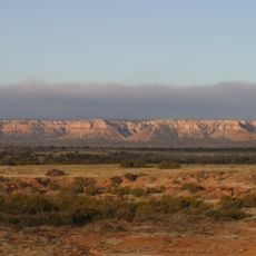
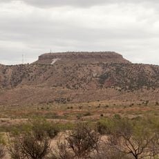
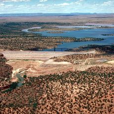
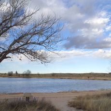
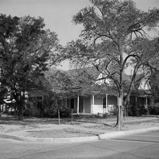
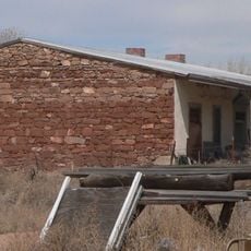
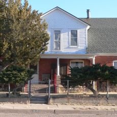
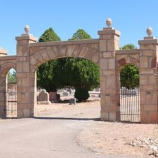
De Baca County is an administrative division in New Mexico that stretches across open plains and farmland dotted with scattered rural settlements. The landscape is defined by wide horizons, dry terrain, and small communities spread throughout the region.
The division was created in 1917 when it was separated from neighboring counties and named after a territorial governor. This separation established a new administrative unit for the rural areas of New Mexico.
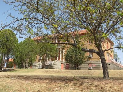
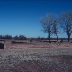
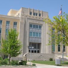
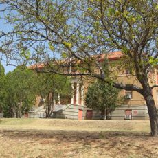
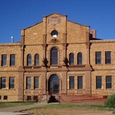
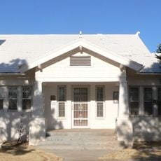
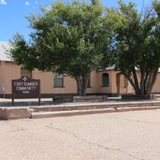
Fort Sumner, the county seat, houses the Bosque Redondo Memorial, which documents the forced relocation of Navajo people during the 19th century.
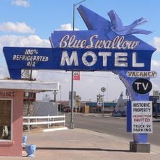
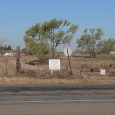
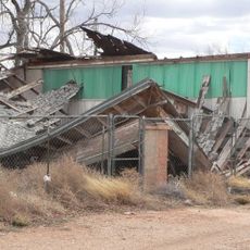
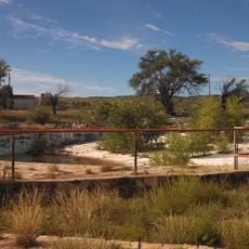
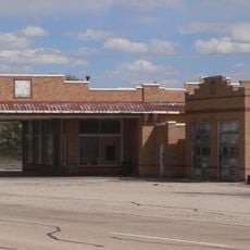
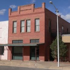
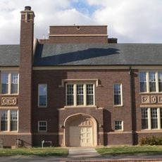
The area is sparsely populated and defined by small towns such as Fort Sumner, which serve as main gathering points. Visitors should expect significant distances between settlements when traveling through the region.
Fort Sumner, the county seat, houses the Bosque Redondo Memorial, which documents the forced relocation of the Navajo people. This historic site tells the story of a significant chapter in American western history.
The community of curious travelers
AroundUs brings together thousands of curated places, local tips, and hidden gems, enriched daily by 60,000 contributors worldwide.