Chest opened
+${chestReward.xp} XP
Explorer
NOUVEAU ×${chestReward.collectible.quantity}
tapez pour fermer

See the monuments around you in AR Open chests in the app

Around Us is built for your phone — point your camera at the streets and discover the monuments and places around you in augmented reality. Around Us is built for your phone — chests unlock when you walk, explore and capture nearby places.

•

Enable Location

We need your location to show you interesting places around you

Discover nearby places

Find interesting locations and hidden gems around you

Precise directions

Get accurate directions and distances to places

Your location is never shared with other users. It's only used when you tap the location button.

Wheeler Peak

Log in to your account

Start exploring — it's free

Trusted by 93,362 travelers worldwide

Continue with Google
Continue with Apple
or

We will send you a code to connect

By continuing, you accept our Terms and Conditions and our Privacy Policy

Check your inbox

We've sent a pincode in your inbox. Please enter the code below.

Wheeler Peak, Mountain summit in Sangre de Cristo range, New Mexico, United States

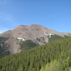
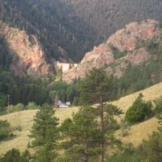
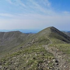
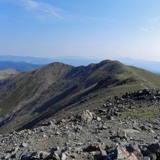
Wheeler Peak is the highest point in New Mexico, reaching 13,167 feet (4,013 m) in the Sangre de Cristo Mountains. Its upper slopes are bare gray and brown rock with small snow patches in gullies, while dense conifer forest covers the lower flanks. The broad, rounded summit rises just north of Mount Walter.

The peak was named in 1950 to honor Major George Montague Wheeler, who conducted geological surveys across the Southwest during the 1870s. These surveys helped map the geological features of the region.

The Taos Pueblo people call the mountain móxwoluną or poxwiap’íanenemą. Blue Lake, on the mountain, is a sacred emergence site for the pueblo, and much of the area south of the peak lies on Taos Pueblo land.

The standard route follows the north ridge from the Taos Ski Valley parking lot, east along an old road to Bull-of-the-Woods Meadow, then south over Mount Walter to the summit. A second route climbs from Williams Lake via a switchback trail built in 2011. A third starts near Red River, 6.4 miles south on NM 578 and 1.3 miles on FR 58, then about 7 miles on Forest Trail 91 past Lost Lake and Horseshoe Lake.

Mount Walter, just north of the summit, rises to 13,141 feet but has only about 53 feet of prominence, so it is not counted as an independent peak. Hikers on the north ridge route cross its top and often mistake it for Wheeler Peak. The summit holds a register and a plaque naming Major George Montague Wheeler.

The community of curious travelers

AroundUs brings together thousands of curated places, local tips, and hidden gems, enriched daily by 93,362 contributors worldwide.

Start exploring
Location
Elevation above the sea
4,011 m
GPS coordinates
36.55689,-105.41681
Latest update
October 30, 2026 16:49
Around this place
Baldy Mountain
United States of America

Baldy Mountain

12.4 mi
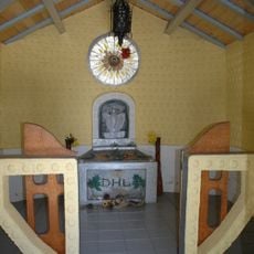
D. H. Lawrence Ranch
United States of America

D. H. Lawrence Ranch

10 mi
Cimarron Canyon State Park
United States of America

Cimarron Canyon State Park

13.5 mi
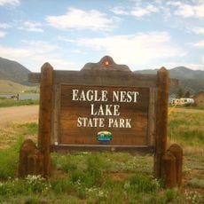
Eagle Nest Lake State Park
United States of America

Eagle Nest Lake State Park

9.4 mi
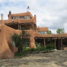
Mabel Dodge Luhan House
United States of America

Mabel Dodge Luhan House

13.2 mi
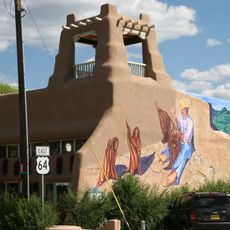
Taos Downtown Historic District
United States of America

Taos Downtown Historic District

13.5 mi
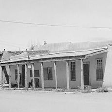
Kit Carson House
United States of America

Kit Carson House

13.5 mi
Harwood Museum of Art
United States of America

Harwood Museum of Art

13.8 mi
Eagle Nest Dam
United States of America

Eagle Nest Dam

10.6 mi
Taos Inn
United States of America

Taos Inn

13.5 mi
Nicolai Fechin House
United States of America

Nicolai Fechin House

13.2 mi
Wheeler Peak Wilderness
United States of America

Wheeler Peak Wilderness

1.9 mi
La Morada de Nuestra Senora de Guadalupe
United States of America

La Morada de Nuestra Senora de Guadalupe

13.2 mi
Vietnam Veterans Memorial State Park
United States of America

Vietnam Veterans Memorial State Park

10.6 mi
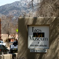
Taos Art Museum
United States of America

Taos Art Museum

13.2 mi
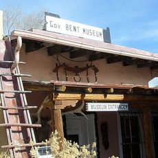
Governor Charles Bent House
United States of America

Governor Charles Bent House

13.4 mi
Ernest L. Blumenschein House
United States of America

Ernest L. Blumenschein House

13.7 mi
Eanger Irving Couse House and Studio—Joseph Henry Sharp Studios
United States of America

Eanger Irving Couse House and Studio—Joseph Henry Sharp Studios

13.5 mi
Mount Walter
United States of America

Mount Walter

0.3 mi
Taos Pueblo
United States of America

Taos Pueblo

11 mi
La Loma Plaza Historic District
United States of America

La Loma Plaza Historic District

13.8 mi
Leon Gaspard House
United States of America

Leon Gaspard House

13.9 mi
E. Martin Hennings House and Studio Historic District
United States of America

E. Martin Hennings House and Studio Historic District

13.8 mi
Bernard J. Beimer House
United States of America

Bernard J. Beimer House

13 mi
Hernández-Manby House
United States of America

Hernández-Manby House

13.4 mi
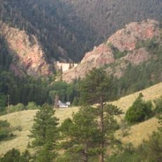
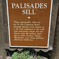
Palisades Sill
United States of America

Palisades Sill

14.8 mi
Hacienda de Los Martinez Museum
United States of America

Hacienda de Los Martinez Museum

15.1 mi
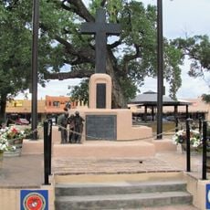
Veterans Memorial
United States of America

Veterans Memorial

13.6 mi
Show the full map
Reviews
Share your experience

No review yet

Discussions
Start a discussion...

No discussion yet

« Wheeler Peak - Mountain summit in Sangre de Cristo range, New Mexico, United States » is provided by Around Us (aroundus.com). Images and texts are derived from Wikimedia project under a Creative Commons license. You are allowed to copy, distribute, and modify copies of this page, under the conditions set by the license, as long as this note is clearly visible.

Discover hidden gems everywhere you go!

From secret cafés to breathtaking viewpoints, skip the crowded tourist spots and find places that match your style. Our app makes it easy with voice search, smart filtering, route optimization, and insider tips from travelers worldwide. Download now for the complete mobile experience.
Around Us App Screenshot
❝

A unique approach to discovering new places❞

— Le Figaro

❝

All the places worth exploring❞

— France Info

❝

A tailor-made excursion in just a few clicks❞

— 20 Minutes

Around Us
Travel Guide & Maps
Download

Send to your phone

QR Code
1

Open the camera app on your mobile.

2

Point at the QR code with your camera. A notification will appear.

3

Tap the notification to open the link.