Harding County

Log in to your account

AroundUs is a community-driven map of interesting places, built by curious explorers like you. It grows with every review, story, and photo you share.
Connect to save your favorite spots, contribute locations, and create personalized routes.
By continuing, you accept our Terms and Conditions and our Privacy Policy
Add to collection
Map
Suggest a change
Share

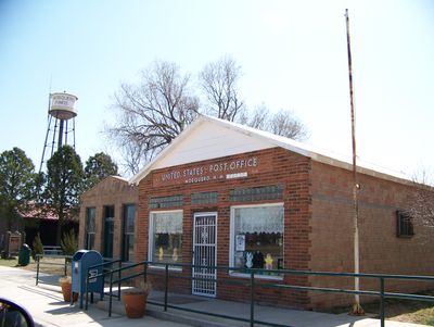
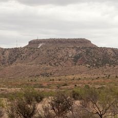
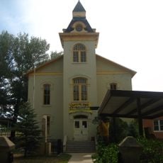
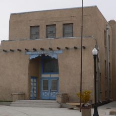
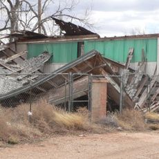
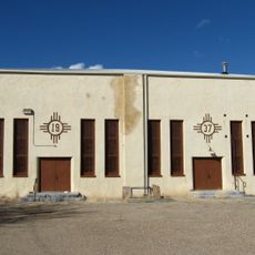
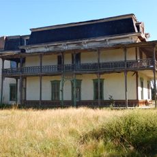
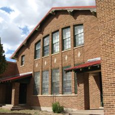
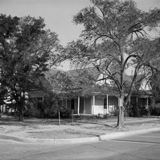
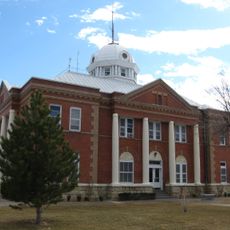
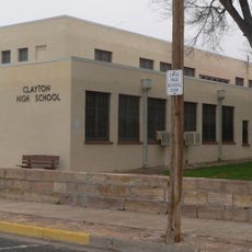
Harding County, Rural county in northeastern New Mexico, United States.

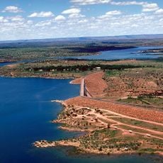
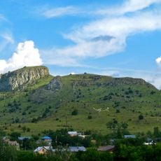
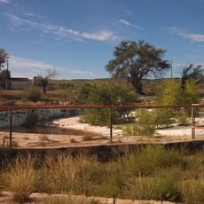
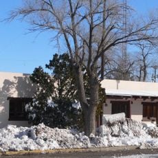
Harding County is a rural administrative division in northeastern New Mexico with high prairie and semi-desert rangeland throughout. Several rivers including the Canadian, Pecos, Cimarron, and Mora flow through its landscape, shaping the terrain and its character.

The county was established on March 4, 1921, and named after President Warren G. Harding during his inauguration. It was created from territories previously belonging to Union and Mora Counties, marking an important boundary change in the state.

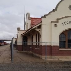
The area preserves several sections of the Santa Fe Trail, marking important routes that settlers used during westward expansion. These historical paths remain visible in the landscape and connect visitors to the pioneer era.

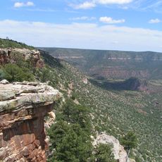
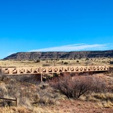
Visitors can explore the Capulin Volcano National Monument and enjoy outdoor activities along multiple rivers in the area. The open landscape allows for hiking and nature exploration, though accommodations are limited and planning ahead is recommended.

A major underground carbon dioxide gas field lies beneath the eastern section, representing an important natural resource beneath the pastoral landscape. This geological feature reveals the region's hidden layers beyond what visitors see on the surface.

GPS coordinates: 35.89968,-103.78739

Latest update: December 7, 2025 20:21

Photos
Around this place
Trementina Base
United States of America

Trementina Base

82.3 km
Blue Swallow Motel
United States of America

Blue Swallow Motel

81.3 km
Tucumcari Mountain
United States of America

Tucumcari Mountain

85.6 km
Conchas Lake
United States of America

Conchas Lake

70.4 km
Sabinoso Wilderness
United States of America

Sabinoso Wilderness

63.9 km
Conchas Dam
United States of America

Conchas Dam

66.2 km
Wagon Mound National Historic Landmark
United States of America

Wagon Mound National Historic Landmark

82.5 km
Cactus Motor Lodge
United States of America

Cactus Motor Lodge

81.4 km
Eklund Hotel
United States of America

Eklund Hotel

81.9 km
Colfax County Courthouse
United States of America

Colfax County Courthouse

89.2 km
Luna Theater
United States of America

Luna Theater

81.8 km
Clayton Public Library
United States of America

Clayton Public Library

81.9 km
Richardson Store
United States of America

Richardson Store

93 km
Amistad Gymnasium
United States of America

Amistad Gymnasium

57.1 km
Metropolitan Park Bathhouse and Pool Historic District
United States of America

Metropolitan Park Bathhouse and Pool Historic District

84 km
Mills House
United States of America

Mills House

88.4 km
R.H. Cowan Livery Stable
United States of America

R.H. Cowan Livery Stable

88.8 km
Odeon Theatre
United States of America

Odeon Theatre

80.3 km
Gate, Fence and Hollow Tree Shelter Designed by Dionicio Rodriguez
United States of America

Gate, Fence and Hollow Tree Shelter Designed by Dionicio Rodriguez

82.1 km
Nara Visa School
United States of America

Nara Visa School

69.9 km
Baca-Goodman House
United States of America

Baca-Goodman House

80.6 km
Union County Courthouse
United States of America

Union County Courthouse

81.6 km
Clayton Public Schools Historic District
United States of America

Clayton Public Schools Historic District

82.3 km
Arch Hurley Conservancy District Office Building
United States of America

Arch Hurley Conservancy District Office Building

80.7 km
Eklund Hotel Historic Site
United States of America

Eklund Hotel Historic Site

81.9 km
Tucumcari Railroad Museum
United States of America

Tucumcari Railroad Museum

80.3 km
Princess Theatre
United States of America

Princess Theatre

80.5 km
Variadero Bridge
United States of America

Variadero Bridge

83.2 km
Show the full map
Reviews

Visited this place? Tap the stars to rate it and share your experience / photos with the community! Try now! You can cancel it anytime.

« Harding County - Rural county in northeastern New Mexico, United States » is provided by Around Us (aroundus.com). Images and texts are derived from Wikimedia project under a Creative Commons license. You are allowed to copy, distribute, and modify copies of this page, under the conditions set by the license, as long as this note is clearly visible.

Discover hidden gems everywhere you go!

From secret cafés to breathtaking viewpoints, skip the crowded tourist spots and find places that match your style. Our app makes it easy with voice search, smart filtering, route optimization, and insider tips from travelers worldwide. Download now for the complete mobile experience.

Around Us App Screenshot

A unique approach to discovering new places

Le Figaro

All the places worth exploring

France Info

A tailor-made excursion in just a few clicks

20 Minutes