Antonito, town in Conejos County, Colorado, United States
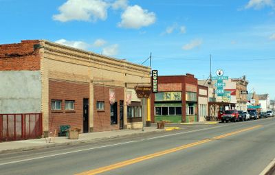
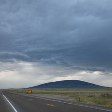
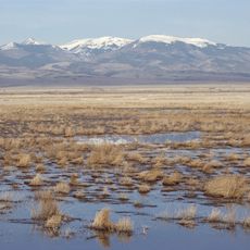
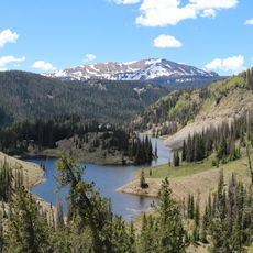
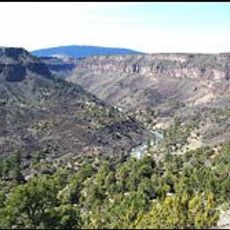
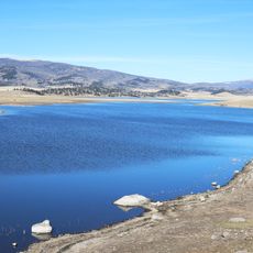
Antonito is a small town in Conejos County in southern Colorado, situated at high elevation and surrounded by mountains and rivers. Its streets are quiet and wide, lined with buildings that date back more than a hundred years, and the landscape opens up into meadows and forest in all directions.
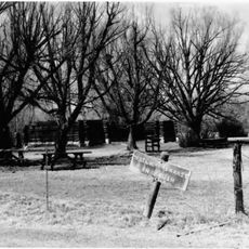
The settlement began in the mid-1800s as San Antonio Junction, a simple herding camp for Hispanic farming families. The arrival of the Rio Grande Railroad in the 1880s transformed it into a railroad hub, spurring the growth of shops, hotels, and businesses that served travelers moving through the region.
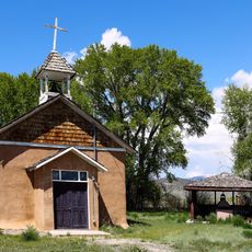
The town's name reflects its Spanish colonial roots, and this heritage remains visible in local architecture and community traditions today. The church and historic buildings serve as gathering places that connect residents to their ancestors and to the land's early settlers.
The town sits along US Route 285 and is about 28 miles from Alamosa, making it a convenient base for day trips or longer stays. Visitors can easily move between hiking trails, fishing spots, train rides, and nearby national forest areas throughout their visit.
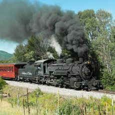
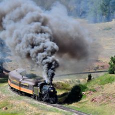
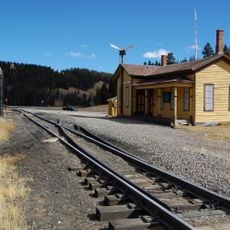
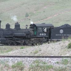
The Cumbres and Toltec Scenic Railroad, a steam-powered narrow-gauge train, departs from here and travels 64 miles through mountain scenery to Chama in New Mexico. Cano's Castle, a colorful homemade structure built from mixed materials, stands nearby as a piece of folk art and draws visitors curious about local eccentricities.
The community of curious travelers
AroundUs brings together thousands of curated places, local tips, and hidden gems, enriched daily by 60,000 contributors worldwide.