
San Antonio Wilderness Study Area, park in Rio Arriba County, Albuquerque-Santa Fe-Las Vegas, NM Combined Statistical Area, United States of America
Location: Rio Arriba County
GPS coordinates: 36.95889,-106.06611
Latest update: September 6, 2025 21:45
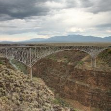
Rio Grande Gorge Bridge
61.4 km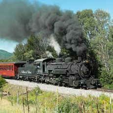
Cumbres and Toltec Scenic Railroad
46.5 km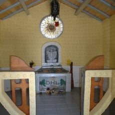
D. H. Lawrence Ranch
59.5 km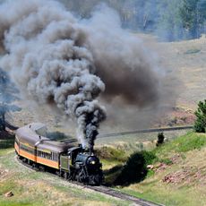
Rio Grande Scenic Railroad
59.3 km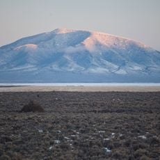
Rio Grande del Norte National Monument
47 km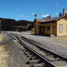
Cumbres Pass
34.8 km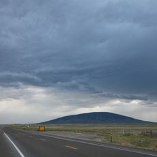
San Antonio Mountain
11.8 km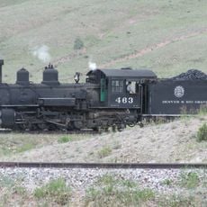
D&RGW 463
46 km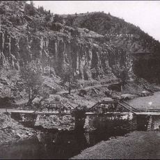
John Dunn Bridge
56.9 km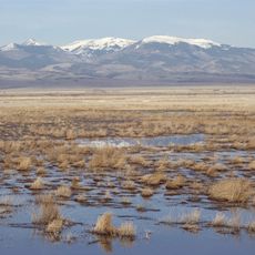
Monte Vista National Wildlife Refuge
58.4 km
Alamosa National Wildlife Refuge
56.3 km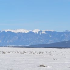
Latir Peak Wilderness
55.1 km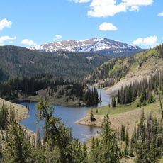
Conejos Peak
57.9 km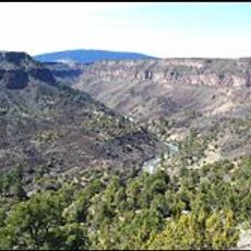
Wild Rivers Recreation Area
46.8 km
Pike's Stockade
43.7 km
D&RGW 169
59.7 km
San Luis Hills
36.9 km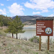
Terrace Reservoir
49.3 km
St. Thomas Episcopal Church
59.5 km
American National Bank Building
59.4 km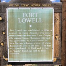
Fort Lowell
50.9 km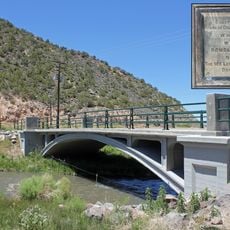
San Luis Bridge
62.2 km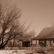
Samuel Sanchez House
48.9 km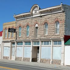
Palace Hotel
14.1 km
Alamosa County Courthouse
59.4 km
Husung Hardware
59.4 km
Gilbert Martinez Barn
52.8 km
Sanchez-March House
51 kmReviews
Visited this place? Tap the stars to rate it and share your experience / photos with the community! Try now! You can cancel it anytime.
Discover hidden gems everywhere you go!
From secret cafés to breathtaking viewpoints, skip the crowded tourist spots and find places that match your style. Our app makes it easy with voice search, smart filtering, route optimization, and insider tips from travelers worldwide. Download now for the complete mobile experience.

A unique approach to discovering new places❞
— Le Figaro
All the places worth exploring❞
— France Info
A tailor-made excursion in just a few clicks❞
— 20 Minutes