Enable Location

We need your location to show you interesting places around you

Discover nearby places

Find interesting locations and hidden gems around you

Precise directions

Get accurate directions and distances to places

Your location is never shared with other users. It's only used when you tap the location button.

Raton Pass

Log in to your account

Start exploring — it's free

Trusted by 62,535 travelers worldwide

Continue with Google
Continue with Apple
or

We will send you a code to connect

By continuing, you accept our Terms and Conditions and our Privacy Policy

Check your inbox

We've sent a pincode in your inbox. Please enter the code below.

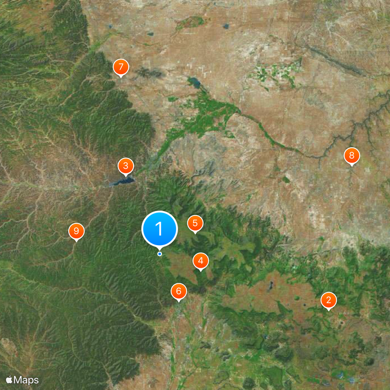
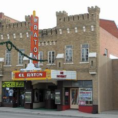
Raton Pass, Mountain rail pass between Colorado and New Mexico, United States

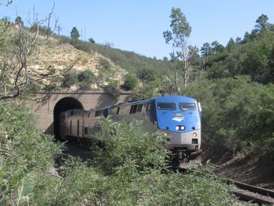
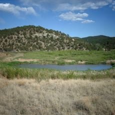
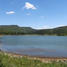
Raton Pass is a rail mountain pass at 7,834 feet (2,387 meters) through the Sangre de Cristo Mountains, linking Trinidad in Colorado with Raton in New Mexico. Both Interstate 25 and the railroad tracks follow the corridor through the forested slopes and open plateaus of the mountain range.

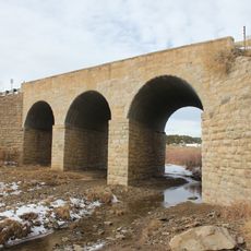
The Atchison, Topeka and Santa Fe Railway laid tracks over the pass in 1878 after a fierce competition with the Denver and Rio Grande Railroad for control of the route. The pass had served travelers on the Santa Fe Trail for centuries before as a natural gateway westward.

The Spanish name refers to the mice early travelers noticed here, while today the route connects daily life in both states. Truck drivers and commuters know the crossing as a natural boundary between the different landscapes of Colorado and New Mexico.

Interstate 25 and the railroad cross the pass, with winter conditions sometimes requiring careful preparation. Travelers should check weather reports, as snow and wind can occasionally cause delays or temporary closures.

The railroad grade reaches 3.5 percent in New Mexico, making it one of the steepest main line routes in the western United States. Train engineers sometimes add extra locomotives to pull heavy freight over the climb.

The community of curious travelers

AroundUs brings together thousands of curated places, local tips, and hidden gems, enriched daily by 60,000 contributors worldwide.

Start exploring
Location
Elevation above the sea
2,377 m
GPS coordinates
36.99110,-104.48700
Latest update
December 20, 2025 14:50
Around this place
Folsom Site
United States of America

Folsom Site

39 km
Trinidad Lake State Park
United States of America

Trinidad Lake State Park

18.7 km
Sugarite Canyon State Park
United States of America

Sugarite Canyon State Park

9.7 km
Raton Mesa
United States of America

Raton Mesa

9 km
Raton Downtown Historic District
United States of America

Raton Downtown Historic District

11.1 km
Ludlow Tent Colony Site
United States of America

Ludlow Tent Colony Site

39.7 km
Trinchera Cave Archeological District
United States of America

Trinchera Cave Archeological District

46.2 km
United States of America

Penitente Canyon

18.5 km
Frank G. Bloom House
United States of America

Frank G. Bloom House

20.1 km
Trinidad History Museum
United States of America

Trinidad History Museum

19.9 km
St. John's Methodist Episcopal Church
United States of America

St. John's Methodist Episcopal Church

26.5 km
Colfax County Courthouse
United States of America

Colfax County Courthouse

10.5 km
First Baptist Church
United States of America

First Baptist Church

20.6 km
Cokedale Historic District
United States of America

Cokedale Historic District

20.5 km
Our Lady of Guadalupe Church and Medina Cemetery
United States of America

Our Lady of Guadalupe Church and Medina Cemetery

31.7 km
Earl School
United States of America

Earl School

42.1 km
Corazon de Trinidad
United States of America

Corazon de Trinidad

19.8 km
Frank Latuda House
United States of America

Frank Latuda House

20.6 km
Baca House and Outbuilding
United States of America

Baca House and Outbuilding

19.9 km
El Raton Theatre
United States of America

El Raton Theatre

10.7 km
Aultman House
United States of America

Aultman House

20.7 km
Jaffa Opera House
United States of America

Jaffa Opera House

19.8 km
Columbian School
United States of America

Columbian School

10.1 km
Longfellow School
United States of America

Longfellow School

11.4 km
Original Townsite Historic District
United States of America

Original Townsite Historic District

10.9 km
Bridge over Burro Cañon
United States of America

Bridge over Burro Cañon

26.9 km
Ludlow Monument
United States of America

Ludlow Monument

43.3 km
Raton Museum
United States of America

Raton Museum

10.8 km
Show the full map
« Raton Pass - Mountain rail pass between Colorado and New Mexico, United States » is provided by Around Us (aroundus.com). Images and texts are derived from Wikimedia project under a Creative Commons license. You are allowed to copy, distribute, and modify copies of this page, under the conditions set by the license, as long as this note is clearly visible.

Discover hidden gems everywhere you go!

From secret cafés to breathtaking viewpoints, skip the crowded tourist spots and find places that match your style. Our app makes it easy with voice search, smart filtering, route optimization, and insider tips from travelers worldwide. Download now for the complete mobile experience.

Around Us App Screenshot

A unique approach to discovering new places

Le Figaro

All the places worth exploring

France Info

A tailor-made excursion in just a few clicks

20 Minutes

Around Us
Travel Guide & Maps
Download

Send to your phone

QR Code
1

Open the camera app on your mobile.

2

Point at the QR code with your camera. A notification will appear.

3

Tap the notification to open the link.