Colfax County

Log in to your account

AroundUs is a community-driven map of interesting places, built by curious explorers like you. It grows with every review, story, and photo you share.
Connect to save your favorite spots, contribute locations, and create personalized routes.
Continue with Google
Continue with Apple
Continue with X
Continue with Facebook
Continue with email
By continuing, you accept our Terms and Conditions and our Privacy Policy
Create an account
Add to collection
Map
Suggest a change
Share

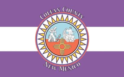
Colfax County, County in northeastern New Mexico, United States.

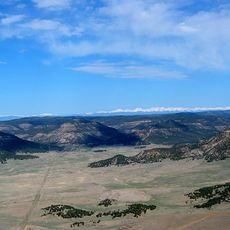
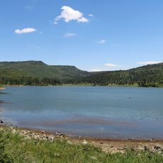
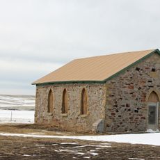
Colfax County is an administrative division in northeastern New Mexico that stretches between the Great Plains and the Sangre de Cristo Mountains. The territory contains prairies and alpine meadows with varied landscapes, and is governed from Raton as its administrative center.

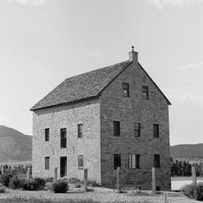
The county was established in 1869 during the New Mexico gold rush and is named after Schuyler Colfax, the seventeenth Vice President under President Grant. Its founding occurred during a period of intense economic activity and settlement throughout the region.

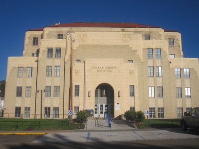
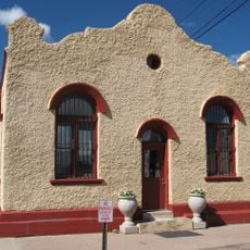
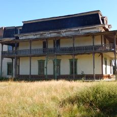
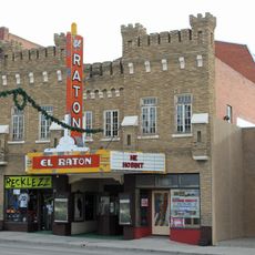
Raton serves as the county seat today and shapes community life, while the names of earlier administrative centers like Elizabethtown and Cimarron remain part of local memory. These shifts show how economic changes influenced where people chose to settle and build their towns.

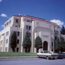
The county administration in Raton offers visitors and residents important services through various departments. Those seeking practical assistance or information can find support for financial matters, fire and rescue services, and air travel options.

The Mountain Branch of the Santa Fe Trail passed through Raton Pass, the highest point of this historic trading route. This passage was crucial to the area's early development and settlement patterns.

Location: New Mexico

Inception: 1869

Capital city: Raton

Shares border with: Costilla County, Mora County, Las Animas County, Union County, Taos County, Harding County

Website: http://co.colfax.nm.us

GPS coordinates: 36.61000,-104.64000

Latest update: December 7, 2025 10:07

Photos
Around this place
Raton Pass
United States of America

Raton Pass

44.6 km
Vermejo Park Ranch
United States of America

Vermejo Park Ranch

31.8 km
Baldy Mountain
United States of America

Baldy Mountain

51.3 km
St. James Hotel
United States of America

St. James Hotel

27.7 km
Folsom Site
United States of America

Folsom Site

59.1 km
Tooth of Time
United States of America

Tooth of Time

37.5 km
Cimarron Canyon State Park
United States of America

Cimarron Canyon State Park

48.5 km
Eagle Nest Lake State Park
United States of America

Eagle Nest Lake State Park

55.2 km
Sugarite Canyon State Park
United States of America

Sugarite Canyon State Park

45 km
Mount Phillips
United States of America

Mount Phillips

48.8 km
Villa Philmonte
United States of America

Villa Philmonte

32.3 km
Eagle Nest Dam
United States of America

Eagle Nest Dam

53.4 km
Raton Downtown Historic District
United States of America

Raton Downtown Historic District

36.9 km
Vietnam Veterans Memorial State Park
United States of America

Vietnam Veterans Memorial State Park

61.5 km
Maxwell National Wildlife Refuge
United States of America

Maxwell National Wildlife Refuge

6.9 km
Colfax County Courthouse
United States of America

Colfax County Courthouse

27.7 km
Casa del Gavilan
United States of America

Casa del Gavilan

35.8 km
Cimarron Historic District
United States of America

Cimarron Historic District

27.8 km
St. John's Methodist Episcopal Church
United States of America

St. John's Methodist Episcopal Church

51.5 km
Mills House
United States of America

Mills House

28.5 km
Colfax County Courthouse
United States of America

Colfax County Courthouse

37.3 km
R.H. Cowan Livery Stable
United States of America

R.H. Cowan Livery Stable

28.2 km
El Raton Theatre
United States of America

El Raton Theatre

37.2 km
Columbian School
United States of America

Columbian School

38 km
Longfellow School
United States of America

Longfellow School

36.9 km
Original Townsite Historic District
United States of America

Original Townsite Historic District

36.7 km
National Scouting Museum
United States of America

National Scouting Museum

32.9 km
Villa Philmonte
United States of America

Villa Philmonte

32.4 km
Show the full map
Reviews

Visited this place? Tap the stars to rate it and share your experience / photos with the community! Try now! You can cancel it anytime.

Administrative divisions
« Colfax County - County in northeastern New Mexico, United States » is provided by Around Us (aroundus.com). Images and texts are derived from Wikimedia project under a Creative Commons license. You are allowed to copy, distribute, and modify copies of this page, under the conditions set by the license, as long as this note is clearly visible.

Discover hidden gems everywhere you go!

From secret cafés to breathtaking viewpoints, skip the crowded tourist spots and find places that match your style. Our app makes it easy with voice search, smart filtering, route optimization, and insider tips from travelers worldwide. Download now for the complete mobile experience.

Around Us App Screenshot

A unique approach to discovering new places

Le Figaro

All the places worth exploring

France Info

A tailor-made excursion in just a few clicks

20 Minutes