
Lookout Point, cliff in Emery County, Utah, United States
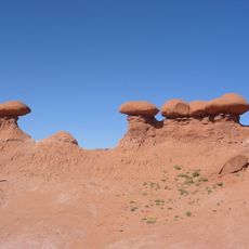
Goblin Valley State Park
45.6 km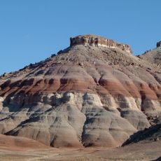
Cedar Mountain Formation
42.7 km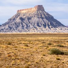
Factory Butte
52.1 km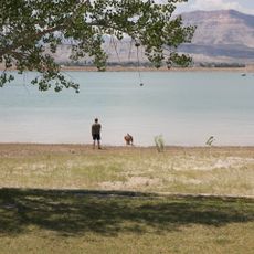
Huntington State Park
49.3 km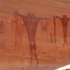
Buckhorn Draw Pictograph Panel
37.5 km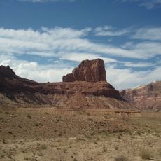
Bottleneck Peak and Moon
33.7 km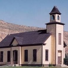
Emery LDS Church
20.1 km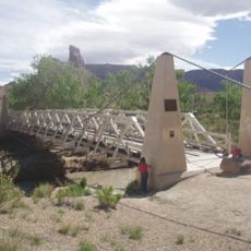
San Rafael Bridge
36.4 km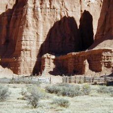
Cathedral Valley Corral
54.4 km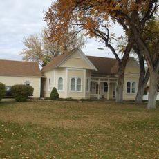
Samuel Singleton House
22.9 km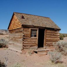
Lesley Morrell Line Cabin and Corral
55.2 km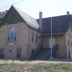
Ferron Presbyterian Church and Cottage
24.2 km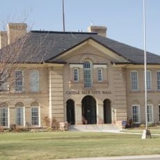
Castle Dale School
35.1 km
Lars Peter Larson House
52 km
Paul C. Christensen House
35 km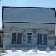
Leander Lemmon House
47.8 km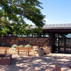
Cleveland-Lloyd Dinosaur Quarry
55.1 km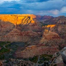
Wedge Overlook
31.9 km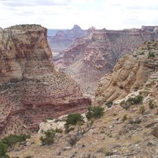
Little Grand Canyon
33.4 km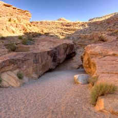
Little Wild Horse Canyon
46.4 km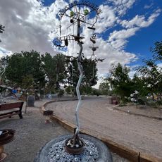
Carl’s Critter Garden
64.1 km
Huntington Lake
50.2 km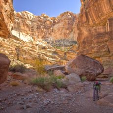
Bell Canyon
39.1 km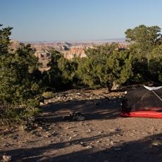
Cathedral Valley Campground
56.2 km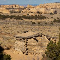
Swasey's Cabin
19.5 km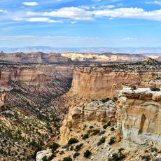
Eagle Canyon
10.6 km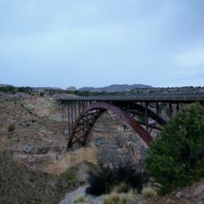
Eagle Canyon Bridge
13.9 km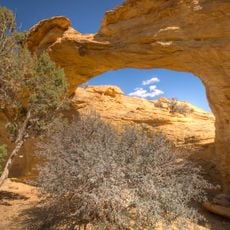
Dutchman Arch
20.1 kmReviews
Visited this place? Tap the stars to rate it and share your experience / photos with the community! Try now! You can cancel it anytime.
Discover hidden gems everywhere you go!
From secret cafés to breathtaking viewpoints, skip the crowded tourist spots and find places that match your style. Our app makes it easy with voice search, smart filtering, route optimization, and insider tips from travelers worldwide. Download now for the complete mobile experience.

A unique approach to discovering new places❞
— Le Figaro
All the places worth exploring❞
— France Info
A tailor-made excursion in just a few clicks❞
— 20 Minutes