
Chimney Rock Point, cliff in Garfield County, Colorado, United States of America
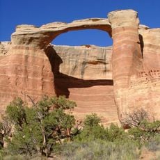
Rattlesnake Canyon
49.9 km
Highline Lake State Park
38.4 km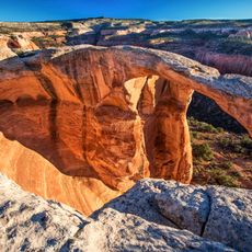
McInnis Canyons National Conservation Area
53.8 km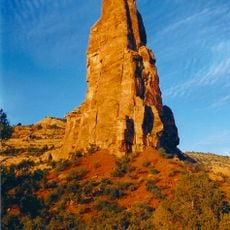
Independence Monument
53.8 km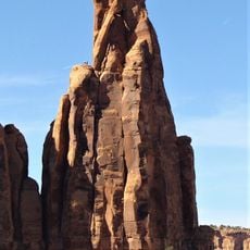
Kissing Couple
54.4 km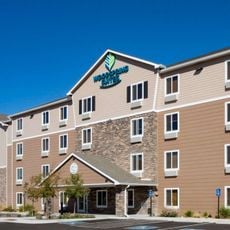
Value Place
52.5 km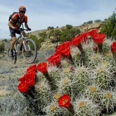
Kokopelli's Trail
47.4 km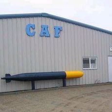
CAF Rocky Mountain Wing Museum
51.2 km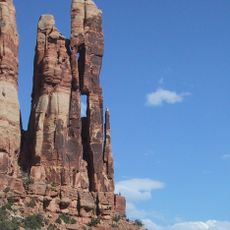
Mee Canyon
54.3 km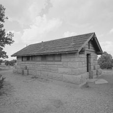
Saddlehorn Comfort Station
52.9 km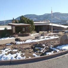
Colorado National Monument Visitor Center Complex
53.4 km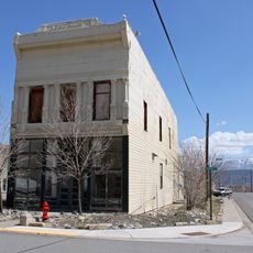
IOOF Hall
43.9 km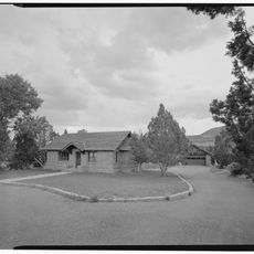
Saddlehorn Caretaker's House and Garage
53.3 km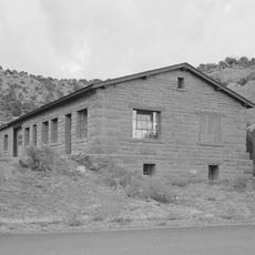
Saddlehorn Utility Area Historic District
53.3 km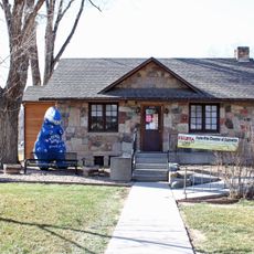
Fruita Museum
48 km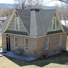
Wasson-McKay Place
50.7 km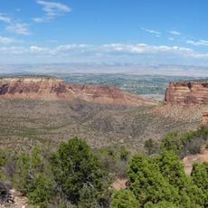
Monument Canyon
53.7 km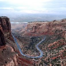
Fruita Canyon
51.5 km
Saddlehorn Visitor Center
53.4 km
Bookcliff Shelter
52.9 km
Mondi Cable Ski
47.1 km
Horsethief Canyon
48.5 km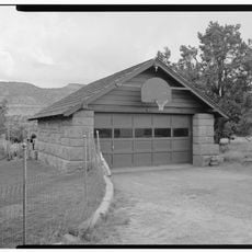
Saddlehorn Caretaker's Garage
53.3 km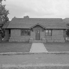
Saddlehorn Caretaker's Residence
53.3 km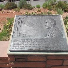
Mather Plaque in Colorado National Monument
53.4 km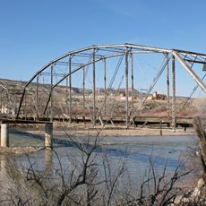
Fruita Bridge
49.4 km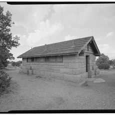
Saddlehorn Campground
52.9 km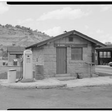
Saddlehorn Oil Storage Building
53.4 kmReviews
Visited this place? Tap the stars to rate it and share your experience / photos with the community! Try now! You can cancel it anytime.
Discover hidden gems everywhere you go!
From secret cafés to breathtaking viewpoints, skip the crowded tourist spots and find places that match your style. Our app makes it easy with voice search, smart filtering, route optimization, and insider tips from travelers worldwide. Download now for the complete mobile experience.

A unique approach to discovering new places❞
— Le Figaro
All the places worth exploring❞
— France Info
A tailor-made excursion in just a few clicks❞
— 20 Minutes