Jefferson County, Jefferson Territory, Historical county in Pike's Peak region, United States.
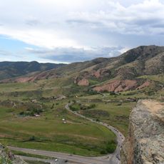
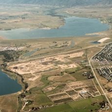
Jefferson County was a historical county in the Pike's Peak region that encompassed the areas of present-day Jefferson, Adams, Denver, Boulder, Clear Creek, and Gilpin Counties. The South Platte River formed its eastern boundary, while the territory stretched from Bear Creek in the south to the 40th parallel in the north.
The county was established on November 28, 1859 during the Pike's Peak Gold Rush and functioned as part of the self-governing Territory of Jefferson. By February 1861, it became part of the Colorado Territory.
The county took its name from Thomas Jefferson, reflecting the settlement history of the Pike's Peak region during the gold boom. Early miners and residents actively shaped the area through their search for opportunity and prosperity.
The territory is now divided among several modern counties and cities, so there is no single physical site to visit. Learning about historical maps of the region helps understand how the original county boundaries once related to today's geography.
In early 1861, residents from the northern section split off and formed Ni Wot County in protest against the legitimacy of the parent administration. This breakaway was short-lived, and the group soon rejoined the Colorado Territory.
The community of curious travelers
AroundUs brings together thousands of curated places, local tips, and hidden gems, enriched daily by 60,000 contributors worldwide.