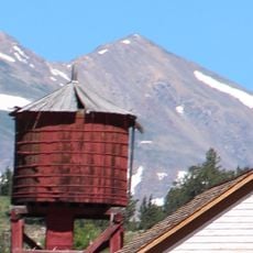
Hoosier Pass, Mountain pass on Continental Divide in Colorado, United States.
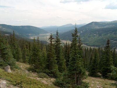
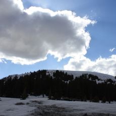
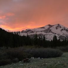
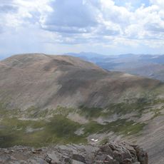
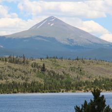
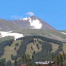
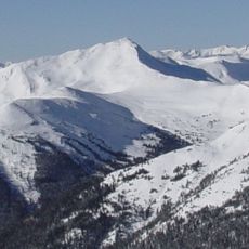
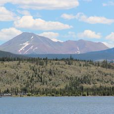
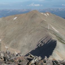
Hoosier Pass is a mountain pass on the Continental Divide in Colorado, sitting at 11,542 feet (3,518 meters) and linking Park County to the west with Summit County to the east. The road running through it forms a natural boundary between the Tenmile Range and the Mosquito Range.
Native American tribes used this route for trade and travel long before European settlers arrived in the region. The Fremont Expedition made the first recorded crossing in 1844, opening the path to later migration into the Rockies.
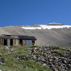
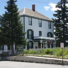
The pass takes its name from Indiana settlers who moved west in the 1800s, bringing their regional nickname with them into the Rockies. Today, a small pullout near the top offers a clear view of the terrain on both sides of the divide, and a sign marks the elevation for passing travelers.
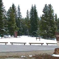
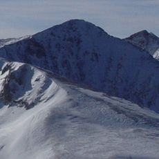
The pass is open year-round along State Highway 9, but snow and ice can make driving difficult in winter months. Checking road conditions before setting out is a good habit, as traction rules may apply during colder periods.
The pass marks the highest point along the TransAmerica bicycle route, a long trail that runs from Oregon to Virginia. Cyclists who reach this summit during a cross-country ride often treat it as one of the defining moments of their journey.
The community of curious travelers
AroundUs brings together thousands of curated places, local tips, and hidden gems, enriched daily by 60,000 contributors worldwide.