North Inlet Trail

Log in to your account

AroundUs is a community-driven map of interesting places, built by curious explorers like you. It grows with every review, story, and photo you share.
Connect to save your favorite spots, contribute locations, and create personalized routes.
Continue with Google
Continue with Apple
Continue with X
Continue with Facebook
Continue with email
By continuing, you accept our Terms and Conditions and our Privacy Policy
Create an account
Add to collection
Map
Suggest a change
Share

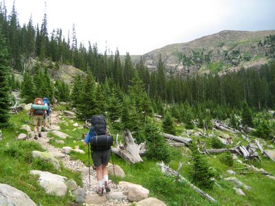
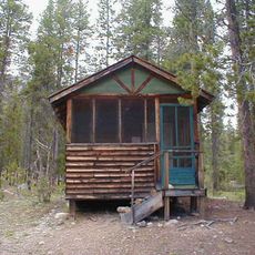
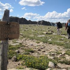
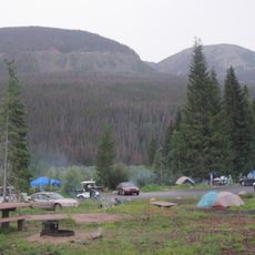
North Inlet Trail, Hiking trail in Grand County, Colorado, US

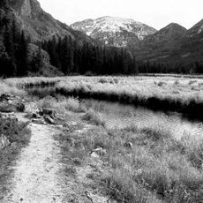
The North Inlet Trail is a hiking path that runs through Rocky Mountain National Park, starting from Grand Lake and heading toward Flattop Mountain across varied landscapes. An additional side route, the Nokoni-Nanita Spur, allows hikers to extend their journey and explore a wider section of the terrain network.

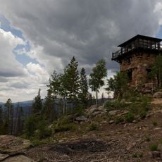
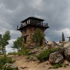
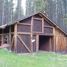
The trail underwent reconstruction between 1926 and 1931 by the National Park Service, connecting existing pathways under landscape architect Allison van V. Dunn's direction. In 2008, the route earned recognition on the National Register of Historic Places for its designed features and approach to land stewardship.

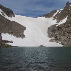
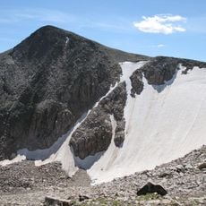
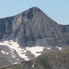
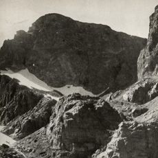
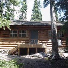
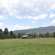
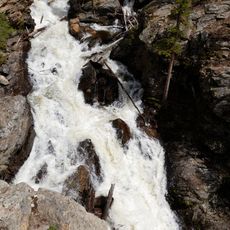
The trail's name references the inlet shaped by glaciers, reflecting how visitors have explored this mountain landscape for generations. Today, hikers use the path to experience the wilderness directly and connect with the surrounding peaks on foot.

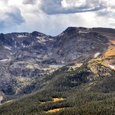
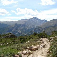
The route starts at Grand Lake and presents varying difficulty depending on how much of the network you choose to explore. Proper footwear and preparation for mountain conditions will help make your hike safer and more enjoyable.

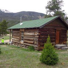
The path was designed by a notable landscape architect who brought knowledge about conservation and trail building into every detail, visible in the carefully planned curves and grades. This crafted approach sets it apart from simple mountain paths and makes it an example of intentional wilderness route planning.

Location: Grand County

Architects: National Park Service

GPS coordinates: 40.25657,-105.81463

Latest update: December 14, 2025 18:41

Photos
Around this place
Grand Lake
United States of America

Grand Lake

1.3 km
Colorado-Big Thompson Project
United States of America

Colorado-Big Thompson Project

11.8 km
Shadow Mountain Lake
United States of America

Shadow Mountain Lake

4 km
Arapaho National Recreation Area
United States of America

Arapaho National Recreation Area

8.7 km
Andrews Glacier
United States of America

Andrews Glacier

11.6 km
Tyndall Glacier
United States of America

Tyndall Glacier

11.9 km
Mount Ida
United States of America

Mount Ida

13.2 km
Flattop Mountain Trail
United States of America

Flattop Mountain Trail

13.2 km
Holzwarth Historic District
United States of America

Holzwarth Historic District

13.5 km
Mount Julian
United States of America

Mount Julian

13.6 km
East Inlet Trail
United States of America

East Inlet Trail

2.3 km
Taylor Peak
United States of America

Taylor Peak

11.5 km
United States of America

Mount Alice

13 km
Shadow Mountain Lookout
United States of America

Shadow Mountain Lookout

2.9 km
Fern Lake Patrol Cabin
United States of America

Fern Lake Patrol Cabin

14.9 km
Shadow Mountain Trail
United States of America

Shadow Mountain Trail

2 km
Kauffman House
United States of America

Kauffman House

721 m
Timber Creek Road Camp Barn
United States of America

Timber Creek Road Camp Barn

2.1 km
Timber Creek Campground Comfort Stations
United States of America

Timber Creek Campground Comfort Stations

14.2 km
Tonahutu Creek Trail
United States of America

Tonahutu Creek Trail

132 m
Little Buckaroo Ranch Barn
United States of America

Little Buckaroo Ranch Barn

8.9 km
Fleshut Cabin
United States of America

Fleshut Cabin

13.3 km
Timber Creek Campground Comfort Station No. 247
United States of America

Timber Creek Campground Comfort Station No. 247

13.9 km
Timber Creek Campground Comfort Station No. 245
United States of America

Timber Creek Campground Comfort Station No. 245

14 km
Timber Creek Campground Comfort Station No. 246
United States of America

Timber Creek Campground Comfort Station No. 246

14 km
Adams Falls
United States of America

Adams Falls

2.7 km
Timber Creek Campground
United States of America

Timber Creek Campground

13.9 km
Harbison Picnic Area
United States of America

Harbison Picnic Area

3.5 km
Show the full map
Reviews

Visited this place? Tap the stars to rate it and share your experience / photos with the community! Try now! You can cancel it anytime.

« North Inlet Trail - Hiking trail in Grand County, Colorado, US » is provided by Around Us (aroundus.com). Images and texts are derived from Wikimedia project under a Creative Commons license. You are allowed to copy, distribute, and modify copies of this page, under the conditions set by the license, as long as this note is clearly visible.

Discover hidden gems everywhere you go!

From secret cafés to breathtaking viewpoints, skip the crowded tourist spots and find places that match your style. Our app makes it easy with voice search, smart filtering, route optimization, and insider tips from travelers worldwide. Download now for the complete mobile experience.

Around Us App Screenshot

A unique approach to discovering new places

Le Figaro

All the places worth exploring

France Info

A tailor-made excursion in just a few clicks

20 Minutes