
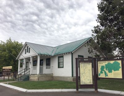
Council Ranger Station, ranger station in Council, Idaho
Location: Council
Inception: 1933
GPS coordinates: 44.73060,-116.43100
Latest update: September 23, 2025 15:09
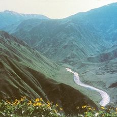
Hells Canyon
73.2 km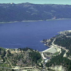
Lake Cascade
30.1 km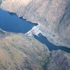
Hells Canyon Dam
60.8 km
Ponderosa State Park
35.9 km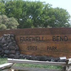
Farewell Bend State Recreation Area
78.5 km
Lake Cascade State Park
38 km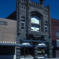
Knights of Pythias Lodge Hall
68.9 km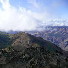
Sheep Rock
54.7 km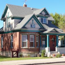
Anderson–Elwell House
68.7 km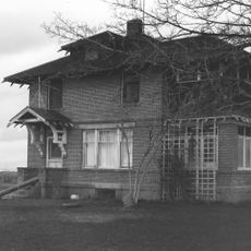
Archie Larsen House
71.9 km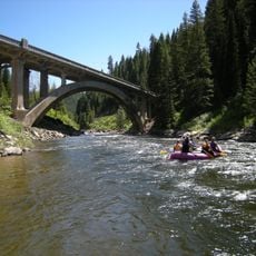
North Fork Payette River Bridge
53.9 km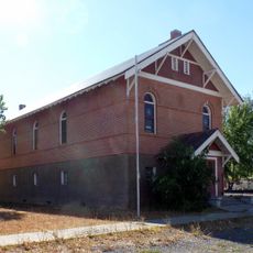
Salubria Lodge No. 31
26.1 km
Adams County Courthouse
652 m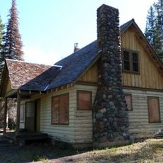
Lick Creek Guard Station
67.5 km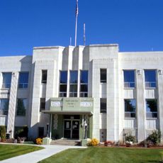
Washington County Courthouse
68.5 km
Col. E. M. Heigho House
29.4 km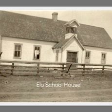
Elo School
34.1 km
Wilson House
26.3 km
B. S. Varian House
68.9 km
Cambridge News Office
26.1 km
James M. Fisher House
68.6 km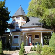
Col. C. F. Drake House
68.4 km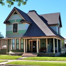
Morris Sommer House
68.8 km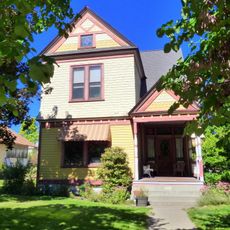
Benjamin Watlington House
68.8 km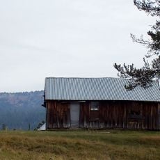
Matt Ruatsale Homestead
32.3 km
Gust Laituri Homestead
31.4 km
Nickolai Wargelin Homestead
33.4 km
Heavens Gate Lookout
71.2 kmReviews
Visited this place? Tap the stars to rate it and share your experience / photos with the community! Try now! You can cancel it anytime.
Discover hidden gems everywhere you go!
From secret cafés to breathtaking viewpoints, skip the crowded tourist spots and find places that match your style. Our app makes it easy with voice search, smart filtering, route optimization, and insider tips from travelers worldwide. Download now for the complete mobile experience.

A unique approach to discovering new places❞
— Le Figaro
All the places worth exploring❞
— France Info
A tailor-made excursion in just a few clicks❞
— 20 Minutes