Lincoln County

Log in to your account

AroundUs is a community-driven map of interesting places, built by curious explorers like you. It grows with every review, story, and photo you share.
Connect to save your favorite spots, contribute locations, and create personalized routes.
By continuing, you accept our Terms and Conditions and our Privacy Policy
Add to collection
Map
Suggest a change
Share

Lincoln County, County in eastern Washington, United States

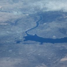
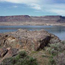
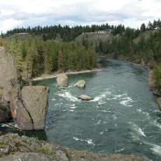
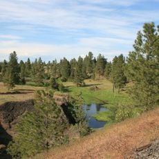
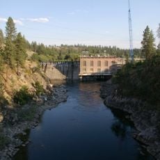
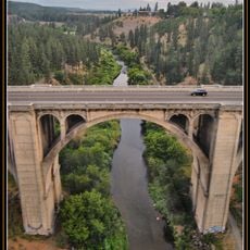
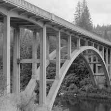
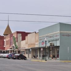
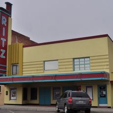
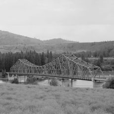
Lincoln County spreads across eastern Washington with rolling hills, agricultural land, and Davenport serving as the county seat. The area includes extensive farmland, ranches, and several small towns distributed throughout the region.

The territorial legislature established this county on November 24, 1883, naming it after President Abraham Lincoln during Washington's pre-statehood era. The area developed into an agricultural region as railroads enabled grain trade and settlement growth.

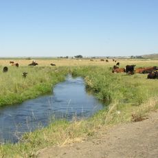
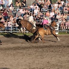
Agriculture defines how people here live and work, with farming families tending wheat fields and ranches that shape the character of the region.

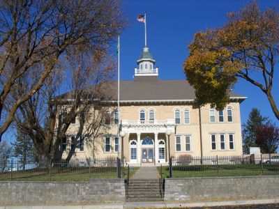
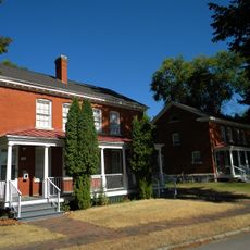
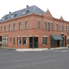
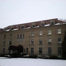
County offices operate from Davenport, handling property documents, public records, and emergency services. Visitors can stop by the administrative center to research local history or access public information about the region.

The region has extensive grain elevator and storage facilities that support its major wheat production operations. This infrastructure shapes the landscape and enables large-scale grain movement throughout the area.

Location: Washington

Inception: November 24, 1883

Capital city: Davenport

Shares border with: Okanogan County, Ferry County, Stevens County, Spokane County, Whitman County, Adams County, Grant County

Website: http://co.lincoln.wa.us

GPS coordinates: 47.57000,-118.41000

Latest update: December 7, 2025 19:24

Photos
Around this place
Show the full map
Grand Coulee Dam
United States of America

Grand Coulee Dam

60.6 km
Grand Coulee
United States of America

Grand Coulee

67.6 km
Roos Field
United States of America

Roos Field

62.4 km
Banks Lake
United States of America

Banks Lake

64.7 km
Franklin D. Roosevelt Lake
United States of America

Franklin D. Roosevelt Lake

60.6 km
Joe Albi Stadium
United States of America

Joe Albi Stadium

71.1 km
Steamboat Rock State Park
United States of America

Steamboat Rock State Park

63.2 km
Riverside State Park
United States of America

Riverside State Park

67.6 km
Crab Creek
United States of America

Crab Creek

35 km
Turnbull National Wildlife Refuge
United States of America

Turnbull National Wildlife Refuge

65.6 km
Fort George Wright
United States of America

Fort George Wright

71.3 km
Fort Spokane
United States of America

Fort Spokane

39 km
Nine Mile Dam
United States of America

Nine Mile Dam

68.7 km
Grand Coulee Bridge
United States of America

Grand Coulee Bridge

61.4 km
Mary Queen of Heaven Roman Catholic Church
United States of America

Mary Queen of Heaven Roman Catholic Church

44.3 km
Sunset Boulevard Bridge
United States of America

Sunset Boulevard Bridge

72.8 km
Spokane River Bridge at Long Lake Dam
United States of America

Spokane River Bridge at Long Lake Dam

51.5 km
Harrington Bank Block & Opera House
United States of America

Harrington Bank Block & Opera House

15.4 km
Dr. Frank R. Burroughs House
United States of America

Dr. Frank R. Burroughs House

49.6 km
Nelson H. Greene House
United States of America

Nelson H. Greene House

49.8 km
Ritzville Historic District
United States of America

Ritzville Historic District

49.4 km
John A. Finch Memorial Nurses Home
United States of America

John A. Finch Memorial Nurses Home

72.5 km
Cheney Odd Fellows Hall
United States of America

Cheney Odd Fellows Hall

63.4 km
Ritzville Carnegie Library
United States of America

Ritzville Carnegie Library

49.5 km
Skydive West Plains
United States of America

Skydive West Plains

46.4 km
BiMart Arena - Cheney Rodeo
United States of America

BiMart Arena - Cheney Rodeo

63.5 km
Ritz Theatre
United States of America

Ritz Theatre

49.3 km
Spokane River Bridge at Fort Spokane
United States of America

Spokane River Bridge at Fort Spokane

38.3 km
Show the full map
Reviews

Visited this place? Tap the stars to rate it and share your experience / photos with the community! Try now! You can cancel it anytime.

Administrative divisions
« Lincoln County - County in eastern Washington, United States » is provided by Around Us (aroundus.com). Images and texts are derived from Wikimedia project under a Creative Commons license. You are allowed to copy, distribute, and modify copies of this page, under the conditions set by the license, as long as this note is clearly visible.

Discover hidden gems everywhere you go!

From secret cafés to breathtaking viewpoints, skip the crowded tourist spots and find places that match your style. Our app makes it easy with voice search, smart filtering, route optimization, and insider tips from travelers worldwide. Download now for the complete mobile experience.

Around Us App Screenshot

A unique approach to discovering new places

Le Figaro

All the places worth exploring

France Info

A tailor-made excursion in just a few clicks

20 Minutes