Kettle Falls, city in Stevens County, Washington, United States
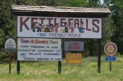
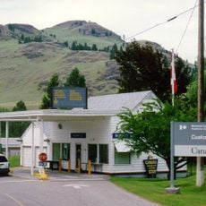
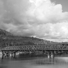
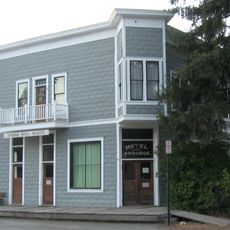
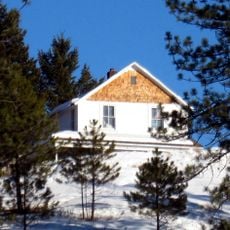
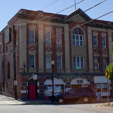
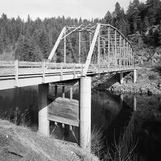
Kettle Falls is a small city in Stevens County, Washington, built on hillsides overlooking the Columbia River with a landscape shaped by historical trade routes and waterways. The town center features older buildings mixed with modern structures, surrounded by forests and open land, with local shops and gathering spaces for community events.
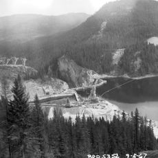
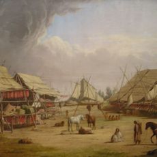
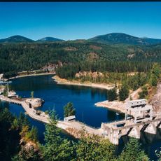
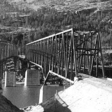
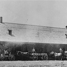
The area was home to indigenous tribes for thousands of years before European traders like David Thompson arrived in the early 1800s and established a trading post. The town was officially founded in 1892, but during the 1940s, the entire community was relocated about 60 feet (18 meters) higher after the Grand Coulee Dam was built to make room for the reservoir.
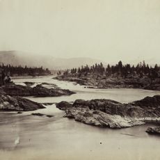
The town takes its name from the Columbia River falls, which indigenous peoples called 'san-ate-koo', meaning 'deep-sounding waters'. For the tribes of the region, this spot served as a gathering place for ceremonies, trade, and salmon fishing, and this cultural connection to the land remains visible in the community's stories and local events today.
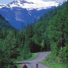
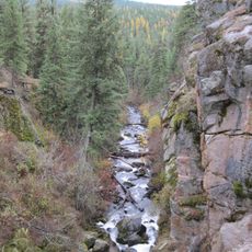
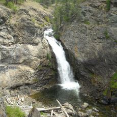
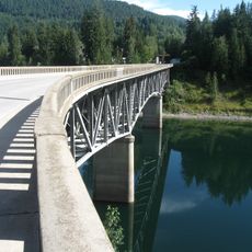
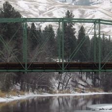
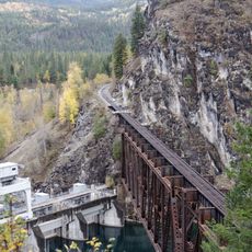
The city sits close to Lake Roosevelt, offering boating, fishing, and camping opportunities, along with hiking trails through forests and open land. Visitors should keep in mind that weather can change and the area is sparsely populated, so it is wise to bring supplies or plan ahead before exploring remote spots.
The falls that gave the city its name are now submerged beneath the Grand Coulee Dam's waters, yet the historical importance of this place lives on in the interpretation centers. Visitors can explore stories at the People of the Falls and Kettle Falls Historical Center about people who lived in this place for thousands of years.
The community of curious travelers
AroundUs brings together thousands of curated places, local tips, and hidden gems, enriched daily by 60,000 contributors worldwide.