Pend Oreille County, Administrative division in northeastern Washington, United States.
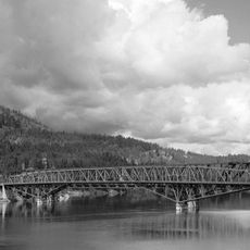
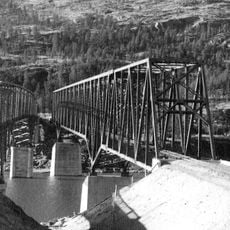
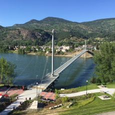
Pend Oreille County is an administrative division in the northeastern corner of Washington, bordering Idaho and British Columbia. The region is connected by five major highways, including U.S. Route 2 and State Routes 20, 31, 41, and 211.
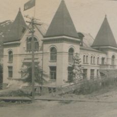
The county was established on March 1, 1911, when it separated from Stevens County as the last of Washington's 39 counties to be formed. This late creation meant the area had been administered as part of other counties before gaining its independence.
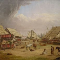
The county takes its name from the Pend d'Oreilles people, who wore large shell earrings as an important part of their identity. This heritage remains visible in how the area remembers and honors its original inhabitants.
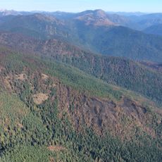
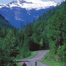
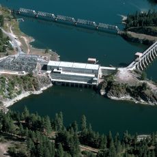
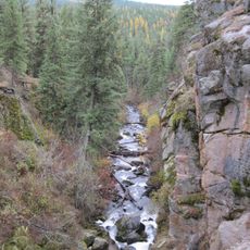
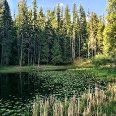
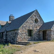
Much of the region is federal land, including parts of Colville National Forest, so visitors should be aware of potential restrictions in certain areas. A car is essential for exploring the county, as the road network connects scattered communities across the landscape.
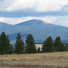
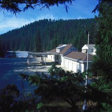
Only about a third of the county's land is privately owned, while over half belongs to the federal government. This unusual distribution means the landscape remains largely shaped by conservation priorities rather than private development.
Location: Washington
Inception: 1911
Capital city: Newport
Shares border with: Boundary County, Bonner County, Spokane County, Stevens County, Regional District of Central Kootenay
Website: http://pendoreilleco.org
GPS coordinates: 48.53000,-117.28000
Latest update: December 7, 2025 10:07
Kettle Falls
62.2 km
Salmo-Priest Wilderness
41.4 km
Colville National Forest
5.7 km
Albeni Falls Dam
44.2 km
Mount Spokane State Park
68.4 km
Metaline Falls-Nelway Border Crossing
52.3 km
Fort Colvile
45 km
Little Pend Oreille National Wildlife Refuge
25.4 km
Crawford State Park Heritage Site
52.2 km
Box Canyon Dam (Washington)
29.5 km
St. Paul's Mission
61.8 km
Round Lake State Park
62.7 km
Mount Kit Carson
69.1 km
Kettle Falls Bridges
62.6 km
Kettle Falls Railroad Bridge
62.6 km
Old Apple Warehouse
57.8 km
Metaline Falls Bridge
37.9 km
Northport Bridge
56.9 km
Dover Church
58.9 km
Amanda Nesbitt House
60.7 km
Colville Opera House and Odd Fellows Hall
46.2 km
Sandpoint Federal Building
60.9 km
Box Canyon Bridge
29.5 km
Dr. John and Viola Phillips House and Office
42.6 km
Columbia River Skywalk
70 km
Mount Spokane Vista House
68.6 km
Rossland Court House
71.7 km
United States Border Station
52.3 kmReviews
Visited this place? Tap the stars to rate it and share your experience / photos with the community! Try now! You can cancel it anytime.
Discover hidden gems everywhere you go!
From secret cafés to breathtaking viewpoints, skip the crowded tourist spots and find places that match your style. Our app makes it easy with voice search, smart filtering, route optimization, and insider tips from travelers worldwide. Download now for the complete mobile experience.
A unique approach to discovering new places❞
— Le Figaro
All the places worth exploring❞
— France Info
A tailor-made excursion in just a few clicks❞
— 20 Minutes