Nancy Greene Provincial Park, provincial park in British Columbia, Canada
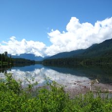
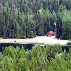
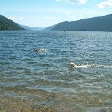
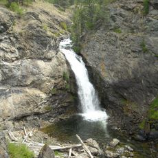
Nancy Greene Provincial Park is a mountainous park in the Kootenay Boundary region of British Columbia featuring a clear lake at elevation surrounded by coniferous forests and a sandy beach. The grounds include campsites, basic facilities, and walking trails such as a 5-kilometer loop around the lake, along with pit toilets and water hand pumps.
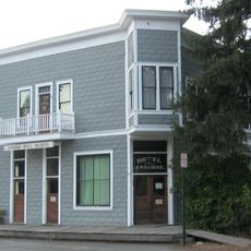
The park was established in 1972 and named after Olympic skier Nancy Greene, who grew up in nearby Rossland and began her ski career at a local mountain. The area had long been part of the traditions and stories of Indigenous nations before becoming a provincial park.
The park is named after Nancy Greene, a renowned Canadian skier from nearby Rossland whose achievements are still celebrated in the region. The land sits within territories of the Ktunaxa, Okanagan, Sinixt, and Shuswap peoples, and park operators work with these communities to honor their history and traditions.
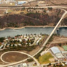
Access is straightforward from Highway 3 or 3B, about 20 minutes from Castlegar or Rossland, with multiple parking areas for vehicles and small RVs. Bring your own drinking water or boil water before use, and keep pets leashed and away from beaches and buildings.
Motorboats are not permitted on the lake to preserve tranquility, yet canoeing, kayaking, and winter ice fishing on the frozen lake are allowed. This restriction has helped keep the water and surrounding landscape in their natural state.
The community of curious travelers
AroundUs brings together thousands of curated places, local tips, and hidden gems, enriched daily by 60,000 contributors worldwide.