Syringa Provincial Park, Provincial park along Lower Arrow Lake in Central Kootenay, Canada
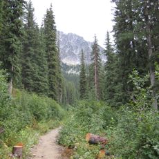
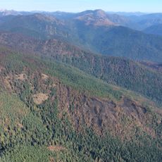
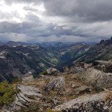
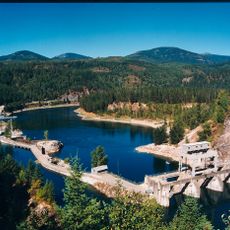
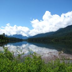
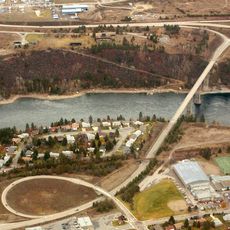
Syringa Provincial Park spreads across a large forest area on the eastern shore of Lower Arrow Lake, with the Norns Range rising in the background. The park includes forest cover, lakefront, meadows, and various habitat types that together shape the landscape.
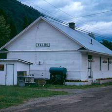
The area took its name in 1903 when loggers settled there and started operations near Syringa Creek. That early activity eventually led to the creation of the park as a protected place.
The land within the park holds deep connections to the Okanagan, Shuswap, and Ktunaxa-Kinbasket peoples, whose ancestors lived here. Visitors walking along the shores and through the forests can sense how important these landscapes remain to these communities.
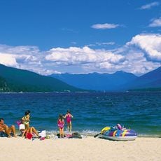
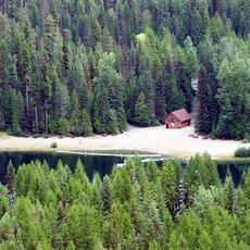
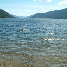
The park has camping sites right by the lake and two boat launches for water activities. Visitors should know that the best times to explore are the warmer months when trails are accessible and weather is stable.
The land here holds rare grassland ecosystems with Ponderosa Pines and bunchgrass that normally do not grow in this region. This unusual vegetation thrives in the park's moderate climate and stands out against the dense forests around it.
Location: Regional District of Central Kootenay
GPS coordinates: 49.35370,-117.89300
Latest update: December 14, 2025 12:26
Kokanee Glacier Provincial Park
71 km
Salmo-Priest Wilderness
70.8 km
Hugh Keenleyside Dam
8.9 km
Boundary Dam
56.9 km
Metaline Falls-Nelway Border Crossing
58.4 km
Corra Linn Dam
33.3 km
Valhalla Provincial Park
63.3 km
Kokanee Creek Provincial Park
61.4 km
Crawford State Park Heritage Site
55.2 km
Box Canyon Dam
72.8 km
Laurier-Cascade Border Crossing
46.1 km
Brilliant Suspension Bridge
19.5 km
Slocan River
36 km
Champion Lakes Provincial Park
27.1 km
Gladstone Provincial Park
26.6 km
Boundary Falls
68.9 km
Kinnaird Bridge
19.1 km
Metaline Falls Bridge
66.3 km
Nelson railway station
45.5 km
Northport Bridge
48.8 km
Orient Bridge
58.6 km
Salmo railway station
47.9 km
Box Canyon Bridge
72.9 km
Columbia River Skywalk
32 km
Nelson Museum Archives & Gallery
46 km
Nelson Bridge
47.5 km
St. Andrew's United Church (Rossland, British Columbia)
31.4 km
Sacred Heart Church (Greenwood, British Columbia)
63.6 kmVisited this place? Tap the stars to rate it and share your experience / photos with the community! Try now! You can cancel it anytime.
Discover hidden gems everywhere you go!
From secret cafés to breathtaking viewpoints, skip the crowded tourist spots and find places that match your style. Our app makes it easy with voice search, smart filtering, route optimization, and insider tips from travelers worldwide. Download now for the complete mobile experience.
A unique approach to discovering new places❞
— Le Figaro
All the places worth exploring❞
— France Info
A tailor-made excursion in just a few clicks❞
— 20 Minutes