
Bonner County, Administrative county in northern Idaho, United States.
Bonner County spans 4,972 square kilometers, with 471 square kilometers of water bodies and mountains reaching heights of 7,018 feet at Scotchman Peak.
The Idaho Legislature established Bonner County on February 21, 1907, naming it after Edwin L. Bonner, who operated a ferry service in the region.
The Bonner County Historical Society maintains records and artifacts documenting the development of communities from Sandpoint to Priest River through exhibitions.
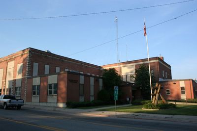
Residents access county services at the administrative center in Sandpoint, which provides licensing, property assessment, and public record management from Monday through Friday.
The county contains Schweitzer Mountain Resort, where winter sports enthusiasts can ski across varied terrain in the northern Idaho mountains.
Location: Idaho
Inception: February 21, 1907
Capital city: Sandpoint
Shares border with: Pend Oreille County, Boundary County, Lincoln County, Sanders County, Shoshone County, Kootenai County, Spokane County
Website: http://co.bonner.id.us
GPS coordinates: 48.29000,-116.60000
Latest update: May 27, 2025 11:29

Silverwood Theme Park
43.2 km
Corkscrew
43.4 km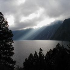
Farragut State Park
36 km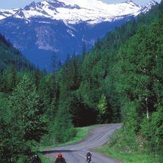
Colville National Forest
62.4 km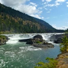
Kootenai Falls
64.6 km
Tremors
43.6 km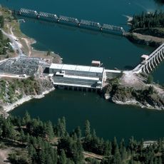
Albeni Falls Dam
32.1 km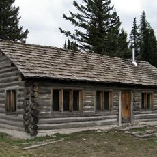
Mount Spokane State Park
55.9 km
Kootenai National Wildlife Refuge
48.6 km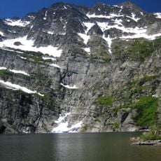
Snowshoe Peak
67.9 km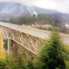
Moyie River Canyon Bridge
57.9 km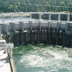
Cabinet Gorge Dam
45.8 km
Round Lake State Park
14.4 km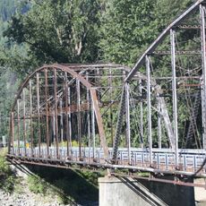
Theodore Roosevelt Memorial Bridge
56.4 km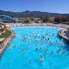
Boulder Beach Water Park
42.8 km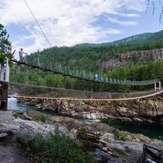
Kootenai Falls Swinging Bridge
63.9 km
Cabinet National Forest
55 km
Dover Church
4.7 km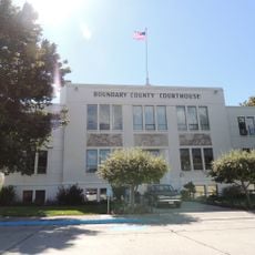
Boundary County Courthouse
49.9 km
Amanda Nesbitt House
3.8 km
Sandpoint Federal Building
4 km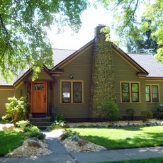
Russell and Pearl Soderling House
49.2 km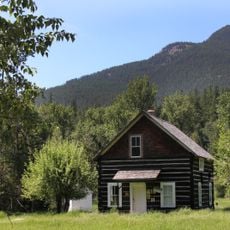
Bull River Guard Station
64.3 km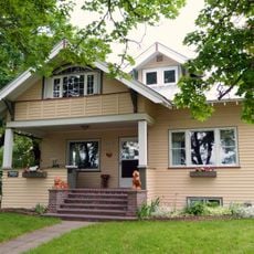
Dr. John and Viola Phillips House and Office
35.3 km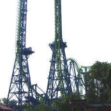
Aftershock
43.7 km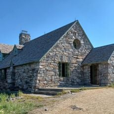
Mount Spokane Vista House
55.8 km
Star Peak Lookout
54.6 km
Spirit Lake Historic District
41.4 kmReviews
Visited this place? Tap the stars to rate it and share your experience / photos with the community! Try now! You can cancel it anytime.
Discover hidden gems everywhere you go!
From secret cafés to breathtaking viewpoints, skip the crowded tourist spots and find places that match your style. Our app makes it easy with voice search, smart filtering, route optimization, and insider tips from travelers worldwide. Download now for the complete mobile experience.

A unique approach to discovering new places❞
— Le Figaro
All the places worth exploring❞
— France Info
A tailor-made excursion in just a few clicks❞
— 20 Minutes