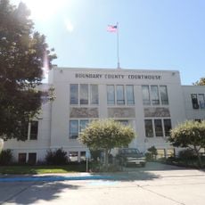
Lincoln County, County administrative division in Montana, United States
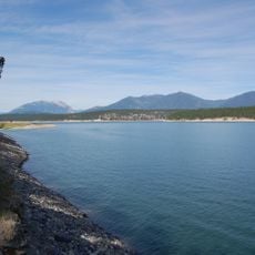
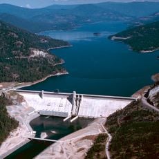
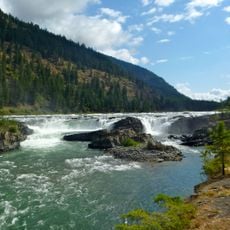
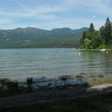
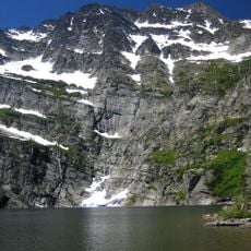
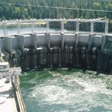
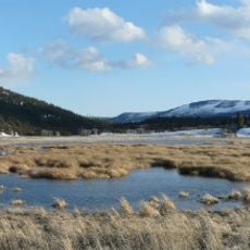
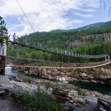
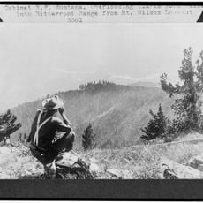
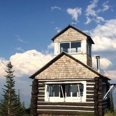
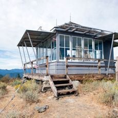
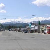
Lincoln County is an administrative division in northwestern Montana featuring mountains, forestland, and several rivers that shape the terrain. The area includes scattered towns and expansive wilderness where outdoor recreation is central to how residents spend their time.
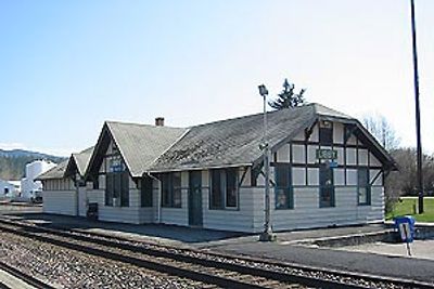
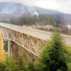
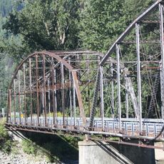
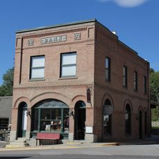
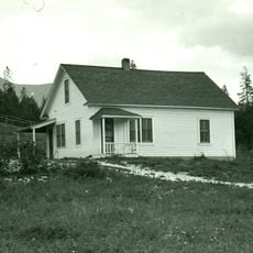
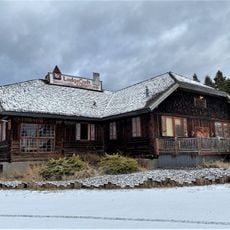
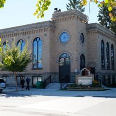
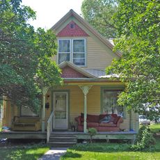
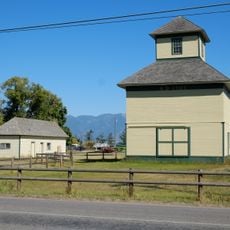
The county was established in 1909 when the timber industry was expanding rapidly, with Libby becoming the economic center of lumber operations. Over time, the economy shifted but the towns remained as hubs connecting people to the mountain region.
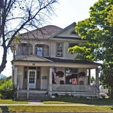
The region reflects its roots in timber and mining communities that shaped how people live and work here. Local family names and business traditions still connect residents to the industries that built these towns.
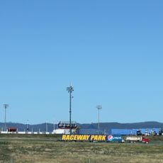
The best time to visit is from late spring through early fall when roads are clear and weather is favorable for outdoor activity. Visitors should expect long drives between towns since services and facilities are spread far apart across the terrain.
Seven federally recognized Native American tribes hold reservations and territories within the county, making it a place with deep indigenous roots. This presence marks the long span of habitation before European settlement reached the region.
The community of curious travelers
AroundUs brings together thousands of curated places, local tips, and hidden gems, enriched daily by 60,000 contributors worldwide.