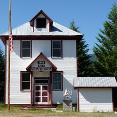
Thompson Falls, city in Sanders County, Montana, United States
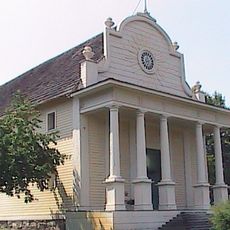
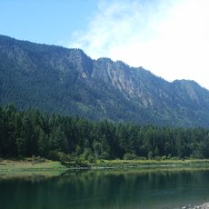
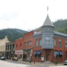
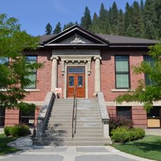
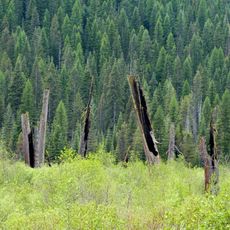
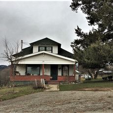
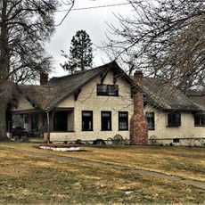
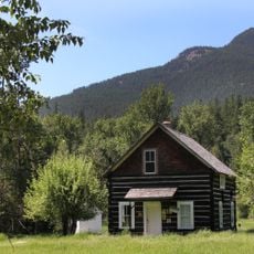
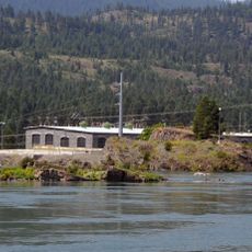
Thompson Falls is a small city in Sanders County, Montana, set along the Clark Fork River and serving as the county seat. Buildings line the riverbank alongside local shops, and the surrounding forests begin just beyond the edges of town.
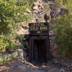
The town began to grow in the late 1880s after the railroad reached the region, drawing new settlers to the area. In the decades that followed, prospectors and later dam workers came, shaping the community that exists today.
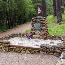
The town takes its name from David Thompson, a British fur trader who traveled through this region in the late 1700s, and that connection is still felt locally today. Each year, David Thompson Days brings residents and visitors together to mark that history with events held around the town.
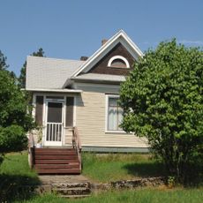
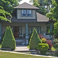
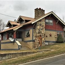
The town center is compact and easy to walk, with shops, cafes, and trail access all close together. Accommodation options range from places right on the river to more rural spots just outside town, so it helps to decide in advance which setting suits you best.
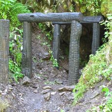
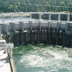
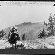
The waterfall that gave the town its name was submerged when the dam was built in 1915 and can no longer be seen. Just outside town, the Koo-Koo-Sint site is a spot where Bighorn Sheep can often be seen, and the name itself comes from a Native American word connected to David Thompson.
The community of curious travelers
AroundUs brings together thousands of curated places, local tips, and hidden gems, enriched daily by 60,000 contributors worldwide.