Enable Location

We need your location to show you interesting places around you

Discover nearby places

Find interesting locations and hidden gems around you

Precise directions

Get accurate directions and distances to places

Your location is never shared with other users. It's only used when you tap the location button.

Pondera County

Log in to your account

Start exploring — it's free

Trusted by 61,509 travelers worldwide

Continue with Google
Continue with Apple
or

We will send you a code to connect

By continuing, you accept our Terms and Conditions and our Privacy Policy

Check your inbox

We've sent a pincode in your inbox. Please enter the code below.

Pondera County, County in Montana, United States

Description

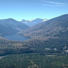
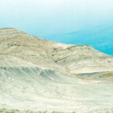
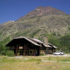
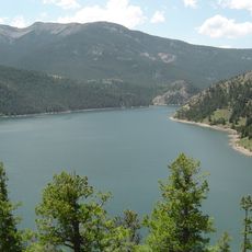
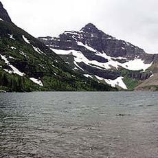
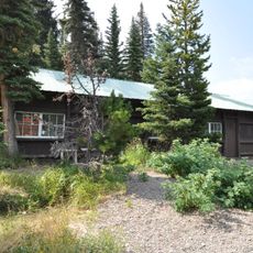
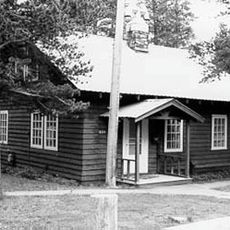
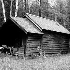
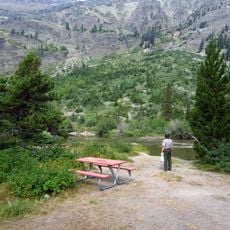
Pondera County is an administrative division in Montana encompassing agricultural areas, ranches, and natural landscapes that define its character. The region includes varied terrain from open farmland to forested areas near the Rocky Mountains.

History

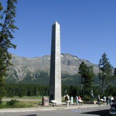
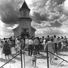
The county was established in 1919 and named after the Pend d'Oreilles people who lived in the region for centuries before European settlement. This creation marked the administrative organization of a landscape with deep Native American roots.

Culture

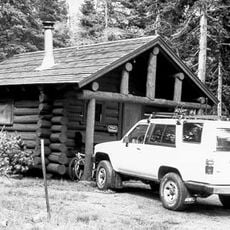
The region is closely connected to farming and ranching traditions, with these activities shaping daily life and the landscape across the county.

Practical

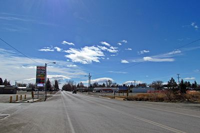
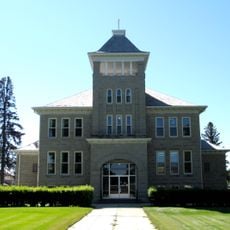
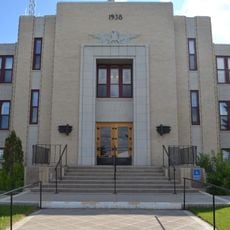
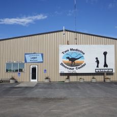
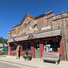
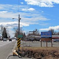
Visitors will find county administrative services based in Conrad, the county seat, which serves as the main hub for local governance. The relatively flat to rolling terrain makes travel straightforward across the region, with well-established roads connecting communities and natural areas.

Did you know?

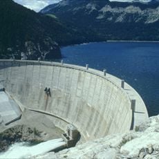
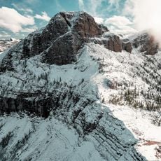
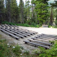
The Lewis and Clark National Forest spans within its borders and borders the Rocky Mountain Front Conservation Area, forming a natural corridor that few visitors realize. This arrangement allows people to experience multiple protected landscapes and forest ecosystems in a single visit.

Location
Inception
1919
Capital city
Conrad
Shares border with
Glacier County, Teton County, Toole County, Liberty County, Chouteau County, Flathead County
GPS coordinates
48.24000,-112.22000
Latest update
December 10, 2025 15:58

AroundUs brings together thousands of curated places, local tips, and hidden gems, enriched daily by 60,000 contributors worldwide. Discover all places nearby (Montana).

Around this place
Bob Marshall Wilderness
United States of America

Bob Marshall Wilderness

78.7 km
Two Medicine Formation
Canada

Two Medicine Formation

19.4 km
Marias Pass
United States of America

Marias Pass

84.5 km
Gibson Dam
United States of America

Gibson Dam

81.6 km
Two Medicine Store
United States of America

Two Medicine Store

89.2 km
Gibson Reservoir
United States of America

Gibson Reservoir

81.6 km
Summit Mountain
United States of America

Summit Mountain

86.1 km
Cut Bank Ranger Station Historic District
United States of America

Cut Bank Ranger Station Historic District

94.7 km
Lone Walker Mountain
United States of America

Lone Walker Mountain

96.1 km
Bethany Lutheran Church
United States of America

Bethany Lutheran Church

66 km
United States of America

Sheep Mountain

93.3 km
United States of America

Brave Dog Mountain

92.9 km
Two Medicine Campground Camptender's Cabin
United States of America

Two Medicine Campground Camptender's Cabin

89.2 km
Swanson Boathouse
United States of America

Swanson Boathouse

89.2 km
East Glacier Ranger Station Historic District
United States of America

East Glacier Ranger Station Historic District

77.8 km
United States of America

Vigil Peak

95.6 km
Upper Park Creek Patrol Cabin
United States of America

Upper Park Creek Patrol Cabin

93.8 km
Teton County Courthouse
United States of America

Teton County Courthouse

47.9 km
Rainbow Conoco
United States of America

Rainbow Conoco

39.9 km
Gable Peaks
United States of America

Gable Peaks

74.4 km
Glacier County Courthouse
United States of America

Glacier County Courthouse

44.4 km
Museum of the Plains Indian
United States of America

Museum of the Plains Indian

69 km
Fielding Snowshoe Patrol Cabin
United States of America

Fielding Snowshoe Patrol Cabin

91.8 km
The Montana Dinosaur Center
United States of America

The Montana Dinosaur Center

30.2 km
Orpheum Theatre
United States of America

Orpheum Theatre

21.8 km
Latigo & Lace
United States of America

Latigo & Lace

84 km
Two Medicine Campground Amphitheater
United States of America

Two Medicine Campground Amphitheater

89 km
Two Medicine Campground
United States of America

Two Medicine Campground

89.2 km
Show the full map
Administrative divisions
« Pondera County - County in Montana, United States » is provided by Around Us (aroundus.com). Images and texts are derived from Wikimedia project under a Creative Commons license. You are allowed to copy, distribute, and modify copies of this page, under the conditions set by the license, as long as this note is clearly visible.

Discover hidden gems everywhere you go!

From secret cafés to breathtaking viewpoints, skip the crowded tourist spots and find places that match your style. Our app makes it easy with voice search, smart filtering, route optimization, and insider tips from travelers worldwide. Download now for the complete mobile experience.

Around Us App Screenshot

A unique approach to discovering new places

Le Figaro

All the places worth exploring

France Info

A tailor-made excursion in just a few clicks

20 Minutes

Around Us
Travel Guide & Maps
Download

Send to your phone

QR Code
1

Open the camera app on your mobile.

2

Point at the QR code with your camera. A notification will appear.

3

Tap the notification to open the link.